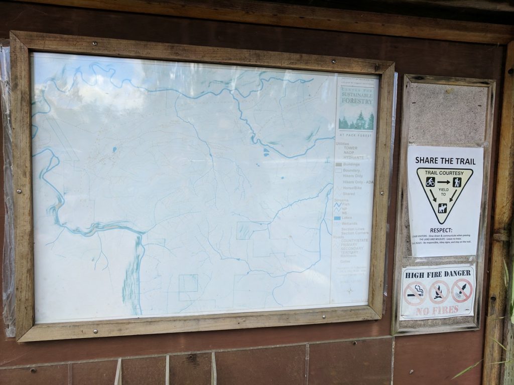
It was a late spring day with partly cloudy skies and a chill lingered from the evening before. With no rain in the forecast, the promise of waterfalls was too enticing to wait on the sun. We arrived to find a full parking lot in the Pack Forest, and we quickly took the last open spot. We checked out the signage and the posted - and faded - trail map.Little Mashel Falls was nowhere to be found on the map.
Another hiker told us there were maps at the administration building, so we meandered over to the building, taking pause to admire the proliferation of rhododendron blossoms. All of the trail maps were gone.
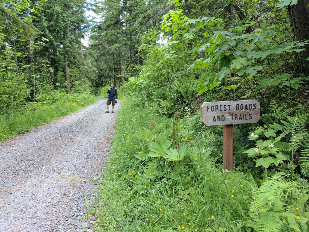
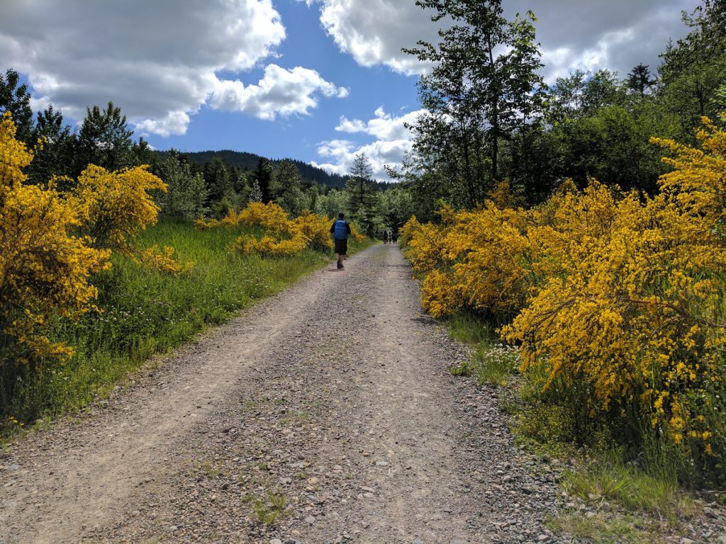
No problem. We'd done our research so we started up the graveled forest road. According to the information we had, we'd stay on the road for about 1.5 miles before turning off.
Songbirds cheered us with their merry chatter; wildflowers lined the road; and the clouds gave way to the sun. We saw signs every half mile with an arrow pointing up and the word "Falls." After the third sign, we never saw another. We had unknowingly passed the turnoff by half a mile. We turned back, to the point where the road made a "Y" and took the branch that would have been our left. We followed this direction for about a quarter mile. Off to the left was a large boulder with an arrow and the word "Falls" painted in blue.
Along the left side of the trail is a small pond, and once we passed this the trail began to descend rapidly. There was another point where the trail split and no signs indicated which way to go. We headed to the left, descended more, and came to another split. We made a right.
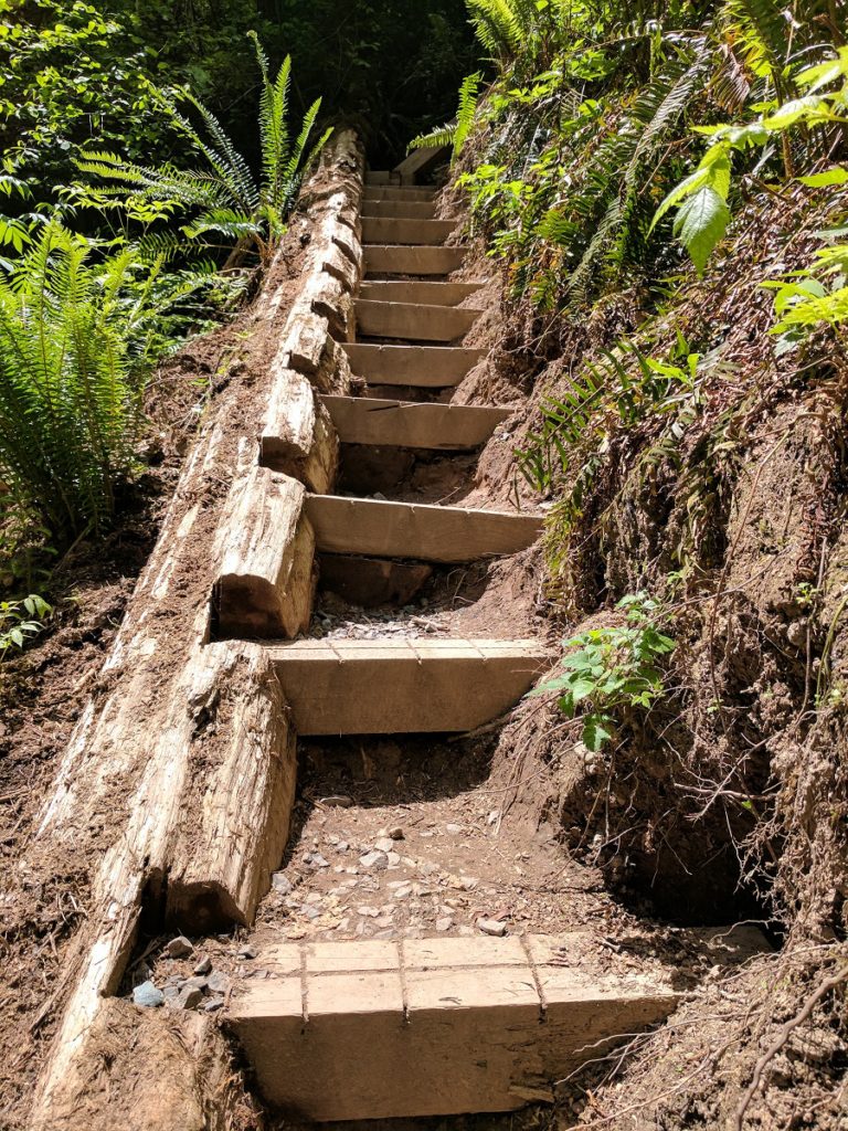
A sign indicated this was the spur trail to the lower falls. Again, our path dropped in elevation and was steep in parts. It also had a lot of added gravel all along it. Between the loose gravel and the slope, it was slippery enough for one of us to fall. Take your time here.
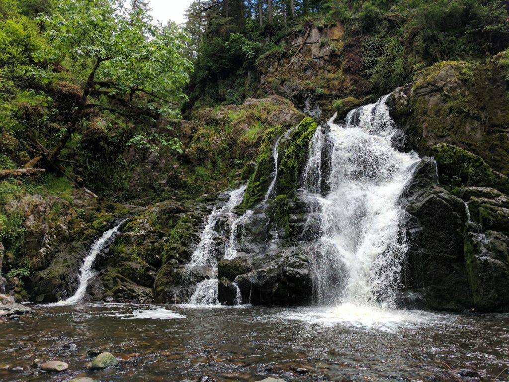
As we neared the end, we could see and hear the falls in the distance. The last part of the trail is very steep and slippery. Wooden steps descend to a rocky area where the water from the falls' 40-foot drop accumulates to create a pool before continuing its journey on the river.
The lower falls span a total of about 55-feet and are split into three main sections.
After spending about 10 minutes here, we started the hike back up the trail. We reached the main trail and decided to go back up it to the first spur trail we passed. After heading this direction a short distance, it split once again. This time a sign indicated the upper falls to the right.
This trail started fine, but quickly showed signs of overgrowth and neglect. A sign posted high on a tree trunk and riddled with bullet holes informed us we were leaving Pack Forest. This path followed the river at a higher elevation. Looking off in the far distance we could see the upper falls, but there was no way to get close to them. Eventually, the trail became difficult to navigate, and it looked like a landslide had occurred at some point in time. The path dropped in elevation, and we made our way back down to the river. There was no way to cross without getting soaked, so we couldn't get closer to the 25-foot falls.
We headed back the way we came to the intersection for the upper falls. There was no sign for the middle falls, but we assumed it was down this last path. Again, the way split without any signs. We headed to the right, and it led us to the top of middle falls, right where the water flows over the edge.
Here the water pools up a bit before heading over the drop. This upper bit is a very dangerous area if you do not stay on the trail. We're sad to report many people weren't staying on the trail. We love a great view but always endorse safety over risk!
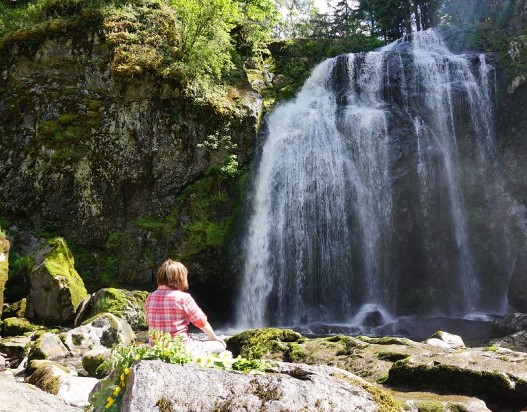
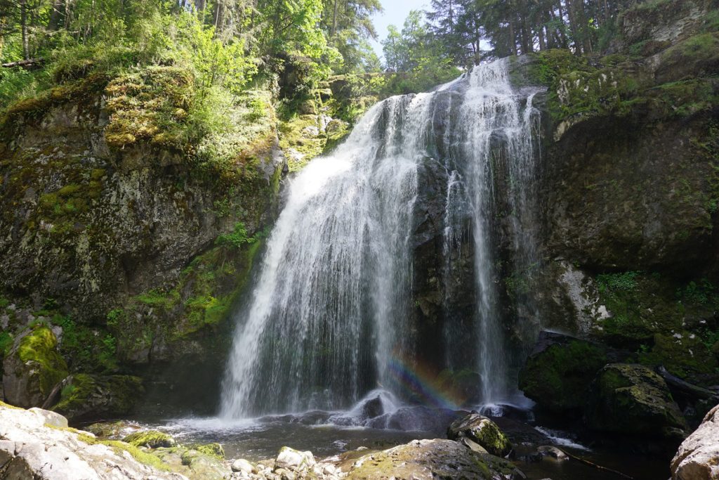
Next, we made our way back to the bottom portion of middle falls. Middle Falls is the crown jewel of the whole hike. There were expanses of flat rock with grand, upright boulders interspersed, making it easy to find a spot to sit down and have lunch. The sun now fully illuminated the sky above. The mist from the waterfall drifted to and fro in spectrums of the rainbow.
While the day had warmed considerably, there was a gentle breeze to keep us cool. We took a nice break for lunch and enjoyed the scenery. Lunch complete, we donned our packs.
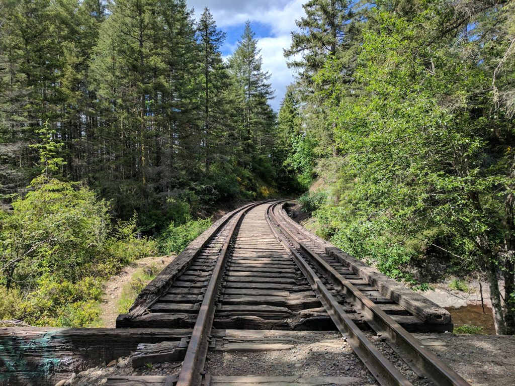
Before heading back to trail head, we explored the abandoned train trestle farther up the path.
The breeze floated bits of fluff from the cottonwood trees, and the warm, sweet scent of wildflowers accompanied us on the return journey.
We arrived back at our vehicle satisfied and enriched by a day well spent!

