- 1. Jeep Arch
- 2. Dead Horse Point State Park
- 2.1. Dead Horse Point Rim Loop
- 3. Fiery Furnace
- 3.1. Fiery Furnace Permits
- 3.2. Hiking the Fiery Furnace
- 3.3. Protecting the Fiery Furnace
- 4. Bonus Hikes & Sights
- 4.1. Delicate Arch
- 4.2. Sand Flats Recreation Area
- 4.3. Canyonlands National Park
- 4.4. Amphitheater Loop
- 5. Good Eats & Treats
Family-Friendly Winter Escape to Moab, Utah
Table of Contents [Show]
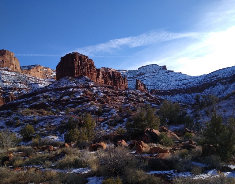
For the second year in a row, my family escaped the holiday crowds in Salt Lake City for five days of hiking in Moab. With mild temperatures, hotel deals, and pristine parks, winter is a great time to explore Moab's magical landscapes.
Jeep Arch
With the exception of a few tried-and-true favorites, we didn't want to repeat hikes from last year. Jeep Arch, a kid- and dog-friendly favorite, was one of those exceptions. At four miles roundtrip, this lollipop trail was perfect for a sunset hike on our way into town.
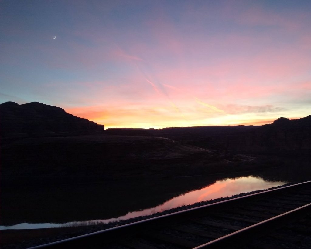
Potash Road provides easy access to some of the best arch hikes outside of Arches National Park, and Jeep Arch is a hidden gem that sees a fraction of the visitors of its more popular neighbors. After turning on Potash Road, drive 10.3 miles to the gravel pullout on the right. There’s no official sign at the trailhead, but the trail itself is marked. Hike through the tunnel and pick up the trail on the other side of the train tracks. Follow the cairns and green blazes on the slickrock. The trail splits before the final ascent to the arch; pass beneath the arch before looping back to the intersection. Soak up stunning scenery along the hike, including views of Culvert Canyon, Behind the Rocks, and the snowcapped La Sal mountains.
Dead Horse Point State Park
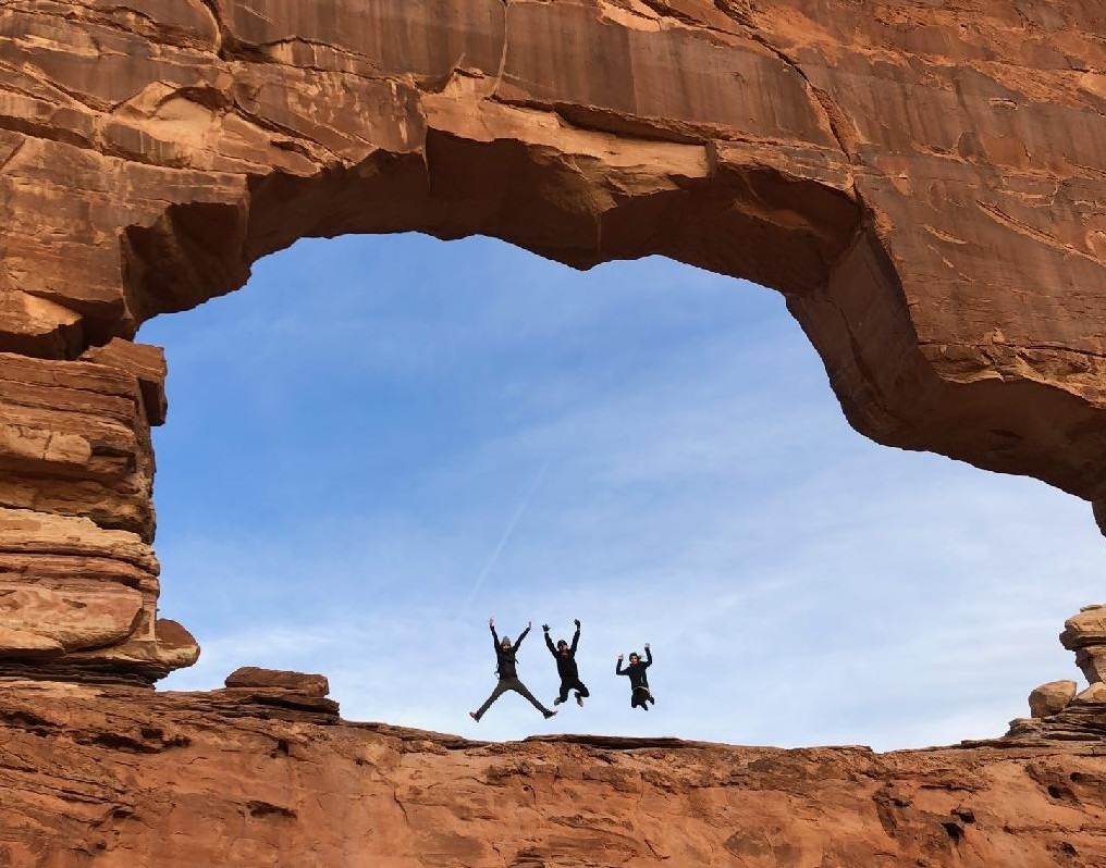
Perched 2,000 feet above the Colorado River, Dead Horse State Park sits on a slender peninsula and offers jaw-dropping views of the surrounding canyons, mesas and buttes. While nearby Canyonlands and Arches National Parks attract more visitors, Dead Horse Point State Park is a quieter yet equally stunning option.
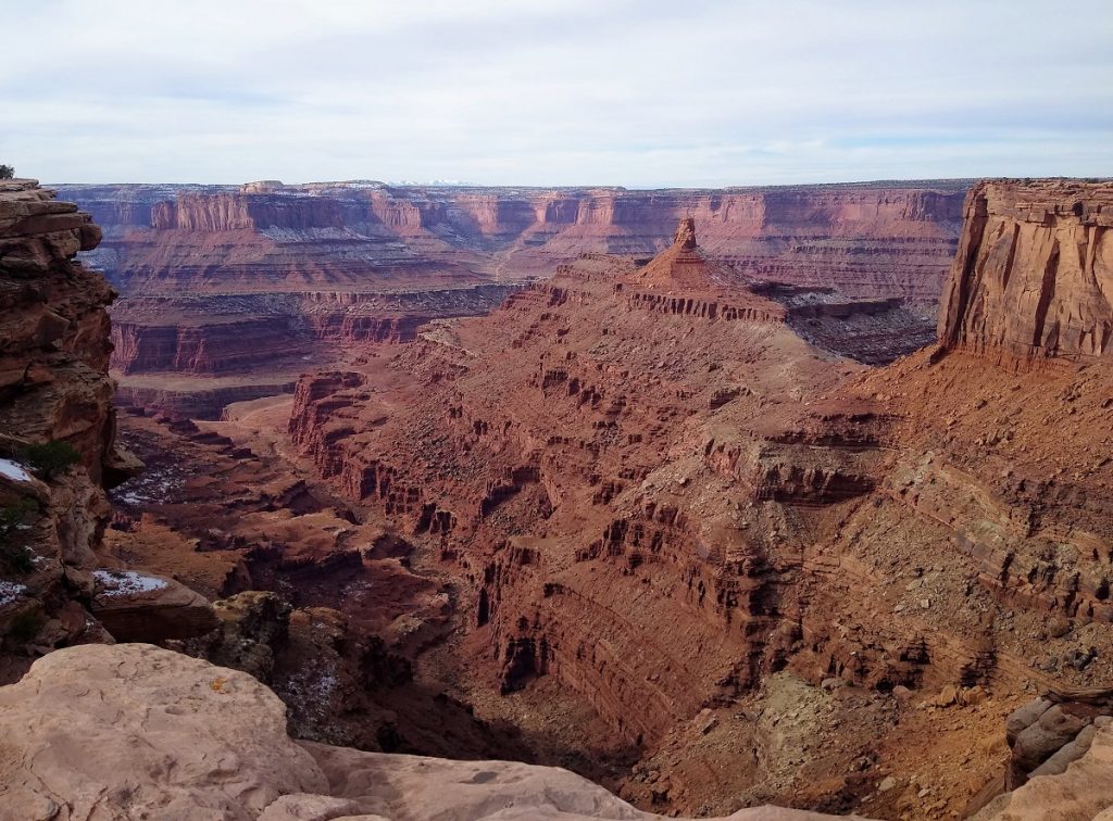
Facilities include two campgrounds, glamping-style yurts, and mountain bike rentals. The Intrepid Mountain Biking Trail System offers 16.6 miles of single track for non-motorized vehicles. About seven miles of hiking trails navigate the rimrock and connect eight different overlooks. Dogs are allowed on-leash on all hiking trails within the park. The entry fee for day use is $20 per vehicle; the walk-in or bike-in fee is $10 per person.
Dead Horse Point Rim Loop
Many visitors opt to drive the park road to the end and take the short, paved pathway to Dead Horse Point Overlook. For a relatively easy hike or trail run, the rim loop trail connects the East Rim and West Rim trails. Starting from the Visitor Center, follow the East Rim Trail two miles to Dead Horse Point Overlook.
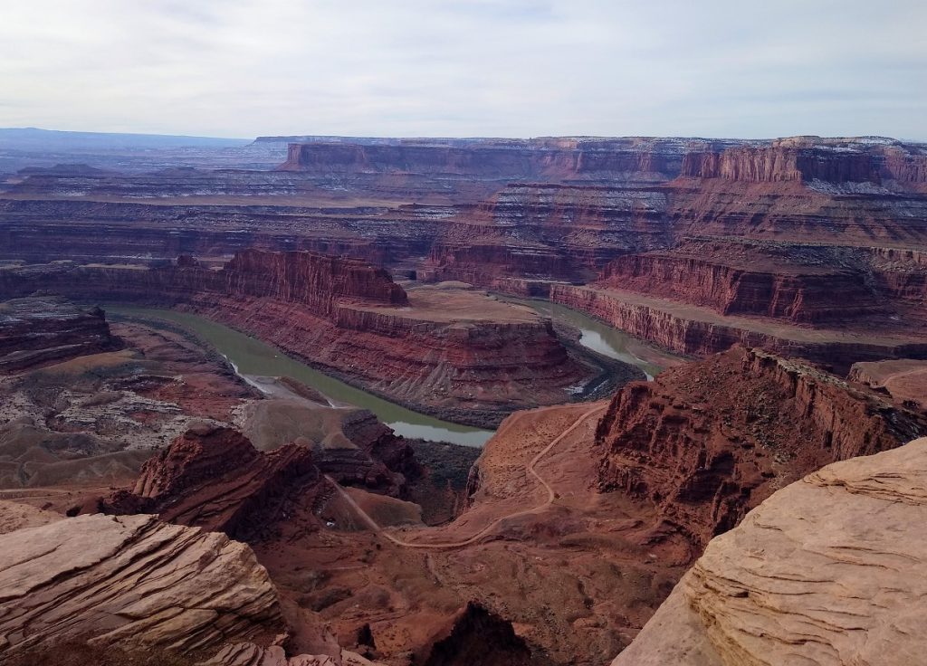
After gawking at the gooseneck in the Colorado River, continue on the primitive West Rim Trail. The trail is easy to follow, but look for cairns to guide your way across slickrock sections.
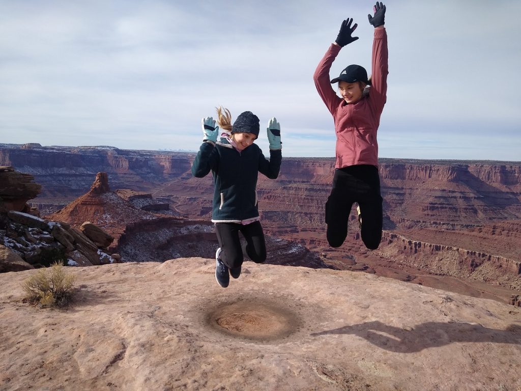
There are several signed spur trails leading to overlooks. At the last junction, continue on the longest spur to Big Horn Overlook, or return directly to the visitor center. Depending on how much you explore the overlooks and spurs, the distance ranges from 5 to 7.5 miles total for the rim loop.
Fiery Furnace
Winter is the perfect season to visit Arches National Park; you'll avoid crowds, summer heat and timed-entry requirements. It's also the best time to secure a coveted permit to one of the park's most spectacular areas.
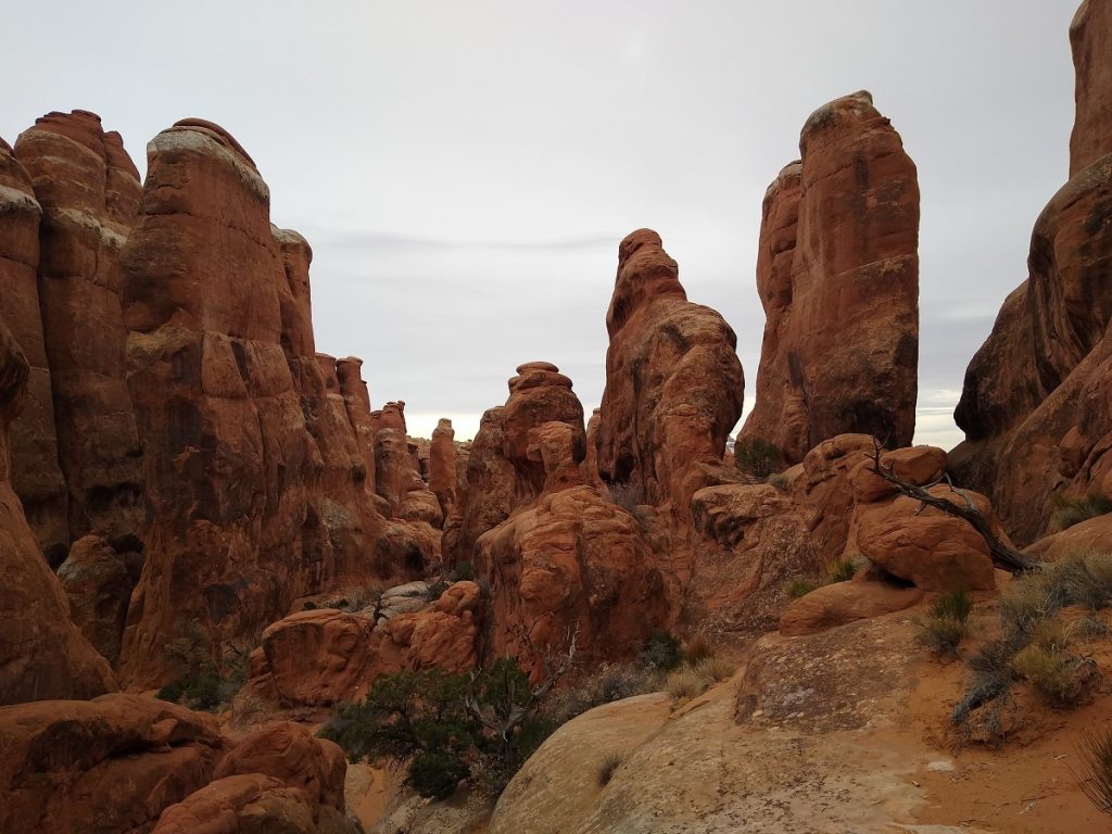
The Fiery Furnace is a natural maze of narrow passages, sandstone fins and hidden arches in the heart of the park. To preserve this stunning and fragile wilderness, the park limits the number of visitors each day. The only way to experience this extraordinary landscape is to take a ranger-guided hike or obtain a permit. Ranger-led hikes are only offered spring through fall, but self-guided permits are available year-round. Permits sell out quickly during peak season, but we had no problem making a reservation for our family of four the week after Christmas.
Fiery Furnace Permits
If you want to explore the Fiery Furnace, plan ahead:
- Reservations can be made up to seven days in advance and must be made at least two days prior to your trip.
- Permits are $10 per person (and worth every penny) and do not cover your park entrance fee.
- Group size is limited to six people. Children under five are not permitted in the Fiery Furnace, and pets are prohibited.
- Your reservation is not your permit. Permits must be picked up in person between 9 AM and 3 PM at the Arches Visitor Center the day before or the day of your hike. Permits are not issued after 3 PM.
- Permits are valid for a specified date and for day-use only (sunrise to sunset).
- All members of your hiking party must be present when picking up your permit to watch a required video and listen to an orientation talk.
Hiking the Fiery Furnace
Exploring the Fiery Furnace is completely different from hiking established trails within the park. There is no single route to follow, and you'll encounter dead ends, drop-offs, and twisting canyons as you navigate this otherworldly labyrinth. Cell service and GPS signals are non-existent, so download a map if you're not comfortable route finding. The ranger-led hike follows one possible route (indicated by very small, dispersed arrows) for a 2.1-mile loop, but getting lost and taking your time is the best part of this adventure. Don't be deterred by dead end signs: these detours hide some of the best surprises in Fiery Furnace.
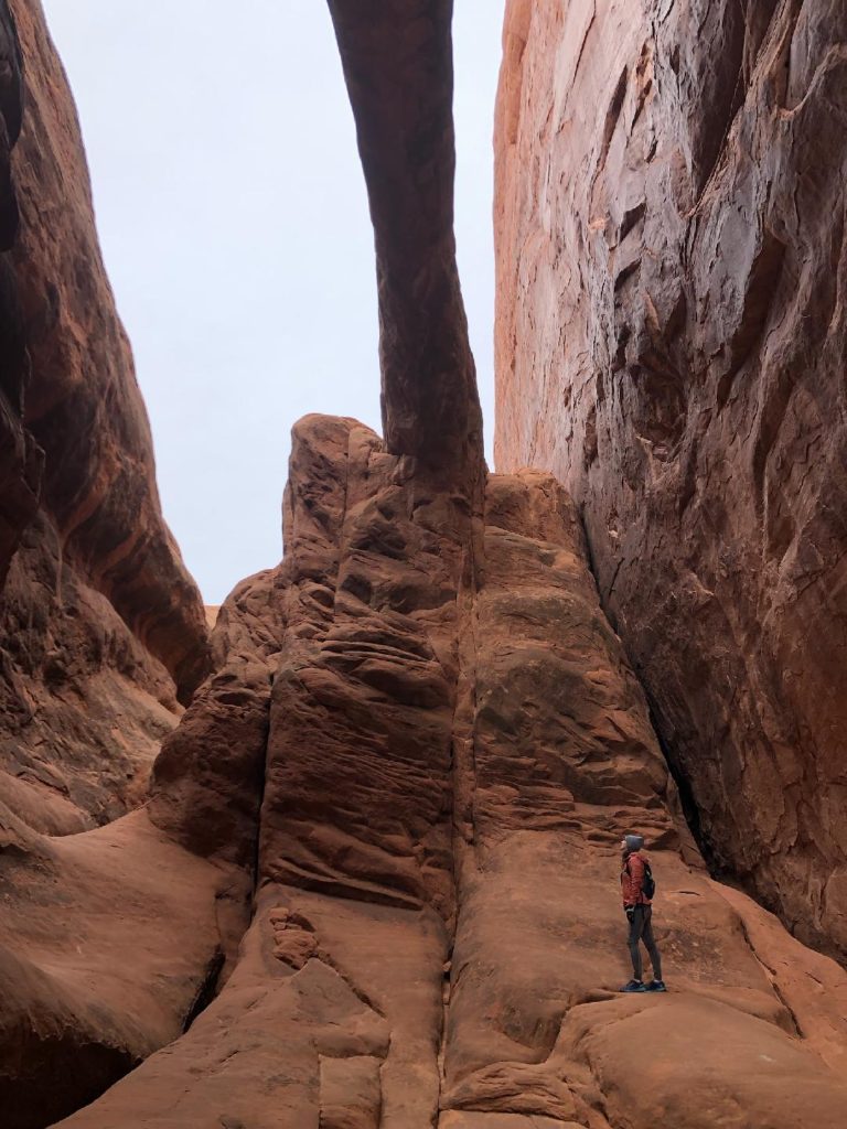
We spent three hours exploring the Fiery Furnace and covered more than 4.5 miles. We meandered in and out of narrow passages, squeezed through slot canyons, and scrambled up and down slickrock.
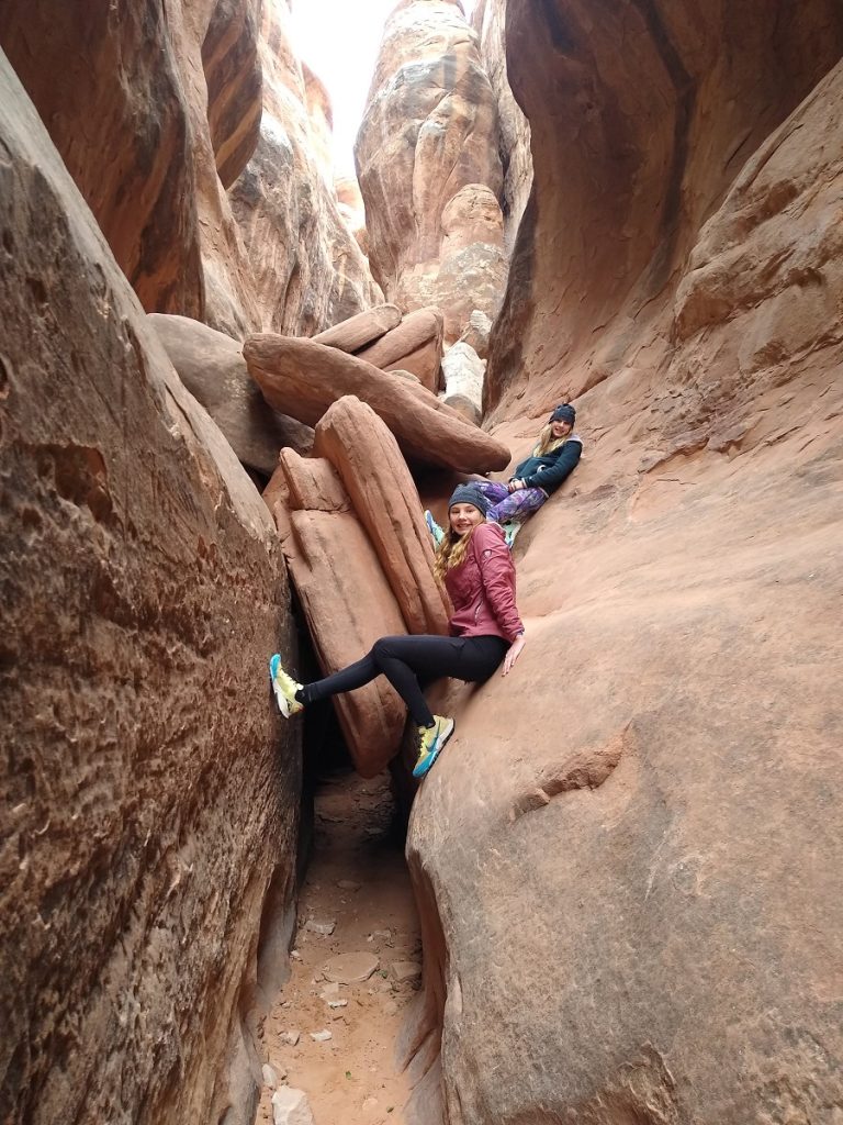
We stopped for lots of pictures, as each twist in the maze revealed another jaw-dropping view. Many hikers start the loop in a counterclockwise direction to follow the arrows, but we chose to hike clockwise for a different perspective and even more solitude.
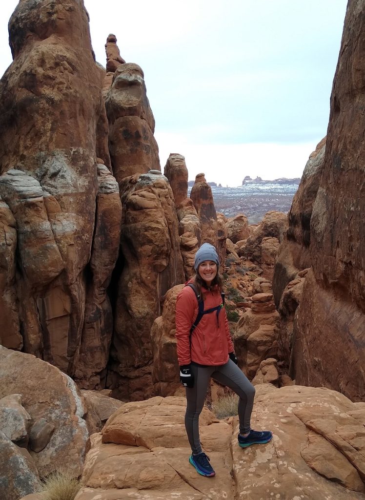
Protecting the Fiery Furnace
As the orientation video reminds hikers, every trip into the Fiery Furnace is an opportunity to protect this incredibly special wilderness:
- Minimize impact and erosion by hiking on rock or in sandy washes.
- Avoid stepping on biological soil crust to preserve the microscopic organisms that are critical to a thriving desert ecosystem.
- Respect trail closures. Fiery Furnace is closed when there's snow on the ground because it's too difficult for hikers to distinguish sandy washes from fragile soils.
- Pack out all trash!
Bonus Hikes & Sights
We couldn't top the Fiery Furnace, but Moab's endless trails beg to be explored. Even a rainy washout and surprise snowstorm couldn't put a damper on the rest of our trip.
Delicate Arch
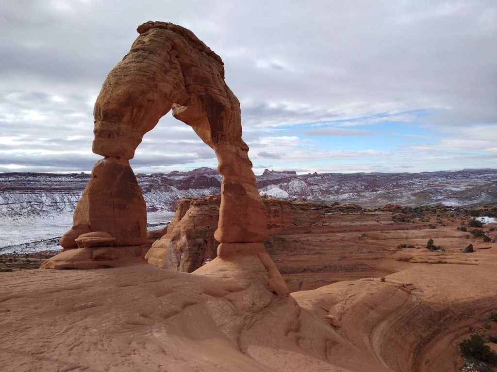
A trip to Moab and Arches National Park isn't complete without a pilgrimage to Delicate Arch. We made our annual trek to Utah's most recognized arch after hiking the Fiery Furnace. We encountered more people than our early morning hike last year, but the trail wasn't crowded and parking was readily available. At three miles roundtrip, the hike to Delicate Arch is one we never mind repeating.
Sand Flats Recreation Area
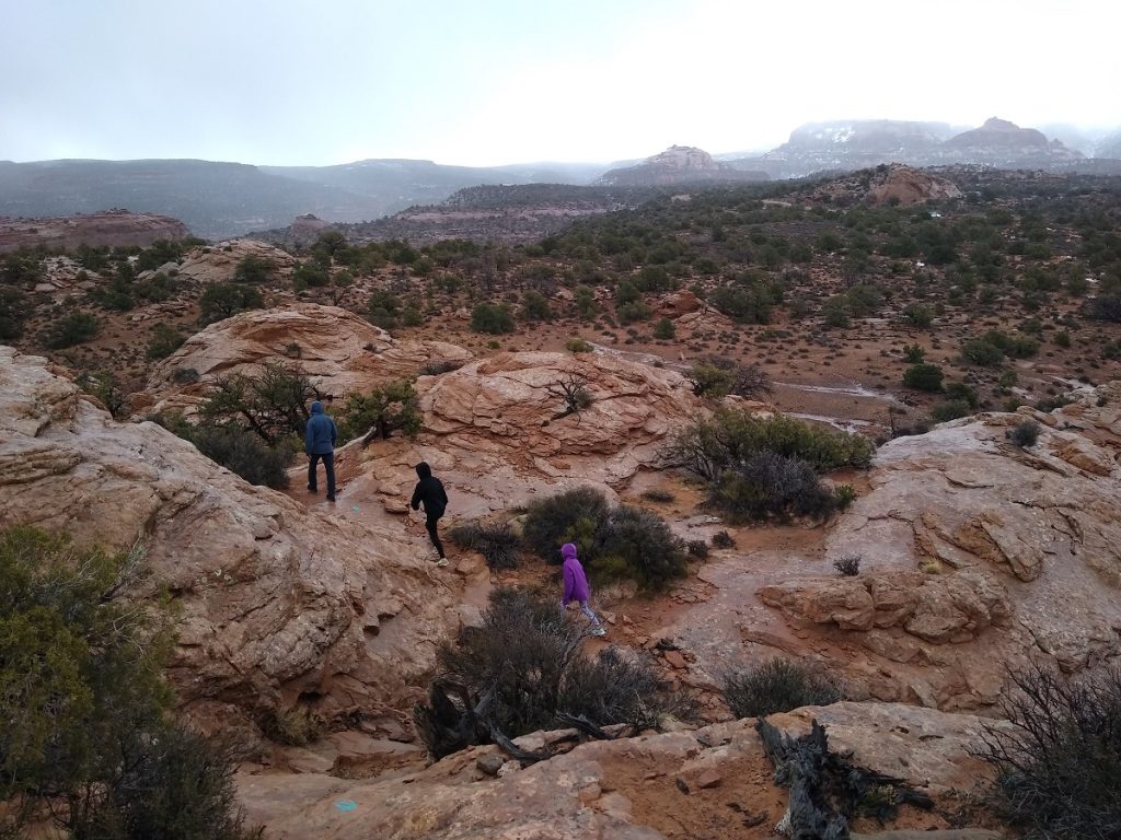
Home to the famous Slickrock Bike Trail and miles of 4 x 4 trails, Sand Flats Recreation Area is teeming with mountain bikes and off-road vehicles on sunny days. On a rainy day, it was the perfect option to wear out our pup and well worth the $5 day-use fee.
Juniper Trail
Juniper Trail is one of two hiking-only trails in Sand Flats. Located six miles from the entrance station, this easy two-mile loop offers panoramic views of sandstone domes, bowls and fins.
Slickrock Bike Trail
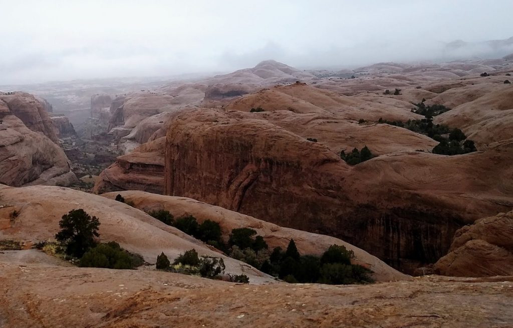
As the rain picked up, we headed back toward Moab but first stopped at the Slickrock Bike Trail. We hiked the first portion of the trail and followed the practice loop. With bikers wisely staying away from the increasingly slick rock, we had the trail to ourselves. The moody skies and glistening rock only enhanced the beauty of this famous trail.
Canyonlands National Park
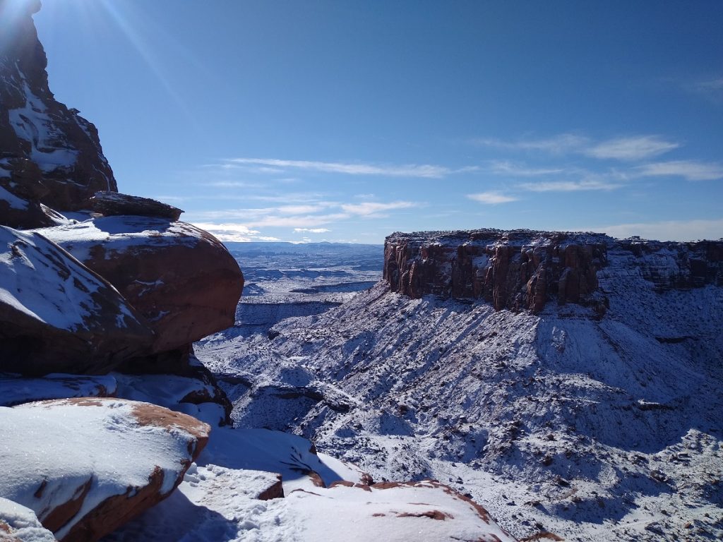
While the previous day was a washout in Moab, Canyonlands National Park was blanketed in a fresh layer of snow. With the steepest trails too treacherous to navigate, we set aside plans to hike below the rim. Instead, we enjoyed snowy views from Mesa Arch (0.5 mile loop) and Grand View Point Trail (2 mile out-and-back).
Amphitheater Loop
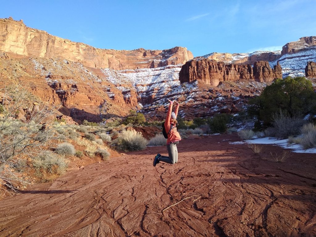
With our original Canyonlands hiking plans waylaid, we decided to head down River Road (Hwy 128) for one last afternoon hike. Located across the road from Hittle Bottom Campground, the Amphitheater Loop is a lightly traveled 3-mile hike with expansive views of the Colorado River corridor, Fisher Towers, and Richardson Amphitheater. Don't be surprised if you have this family- and dog-friendly loop to yourself. For a full-day of hiking, combine with the Fisher Towers Trail.
Good Eats & Treats
After hiking all day, there's nothing better than a delicious meal to recharge. In December 2021, Moab was still recovering from the pandemic, and fewer restaurants were open and staffed. In 2022, we had plenty of options and excellent service. If you're staying downtown, many restaurants are within walking distance.
- Best Carryout - There's usually a line out the door at Arches Thai, but order online for quick and delicious carryout.
- Best Mexican - We love Giliberto's Taco Shop for its fast service and delicious burritos, tacos and nachos.
- Best Sandwiches & Desserts - Dine in or carry out hearty sandwiches and wraps from Sweet Cravings Bakery + Bistro. Check out the 50% off dessert shelf for a sweet deal on tres leches and pie.
- Best BBQ - Head to Spitfire Smokehouse for speedy counter service and generous portions of flavorful brisket, ribs, chicken, and pork. Perfect for sharing, platters come with hushpuppies and two sides.
- Best Pizza - Try a specialty pizza or build your own at Canyon Pizza Co. The 16-inch Family pizza serves 4-5 people.
- Best Comfort Food - Serving breakfast all day and known for their signature green chili, Moab Diner has something for everyone. Try the Sweetwater Skillet for a savory blend of potatoes and veggies. Kids love the plate-sized pancakes.
- Best Pasta - For a nicer sit-down meal, check out Antica Forma for wood-fired pizzas and delicious pasta. The lasagna is enough to share. So is the carrot cake, but you'll want it all for yourself.
- Best Espresso - There's a Starbucks inside the City Market grocery store, but go local and try a latte from Moab Coffee Roasters.
Nicole's idea of a perfect vacation involves camping, hiking, trail running, SUP and exploring secluded beaches with her husband and two daughters. She writes about travel, raising KÜHL kids and her obsession with outdoor apparel for KÜHL.


