Best Backpacking Spots in Washington’s Cascade Mountains You Should Visit
Table of Contents [Show]
Choosing from Washington state’s countless, astonishing overnight trips is nearly impossible. The Cascade Mountains span the entire state and offer endless opportunities for day hikes to longer, multi-day outings. The nine hikes listed below can be done in a single night or extended to continue trekking beyond the described route. Best of all, these hikes can be reached easily from Seattle for a full weekend outing.
Chain Lakes Loop
Difficulty: Medium.
Length: 6.2 miles.
Elevation gain: 1800 feet.
Routine Type: Loop.
Dog Friendly: Yes. Dogs must be leashed within the developed recreation area of Heather Meadows.
Family Friendly: Yes.
Trailhead: Artist Point, Chain Lake.
Notes: Black bears frequent the area.
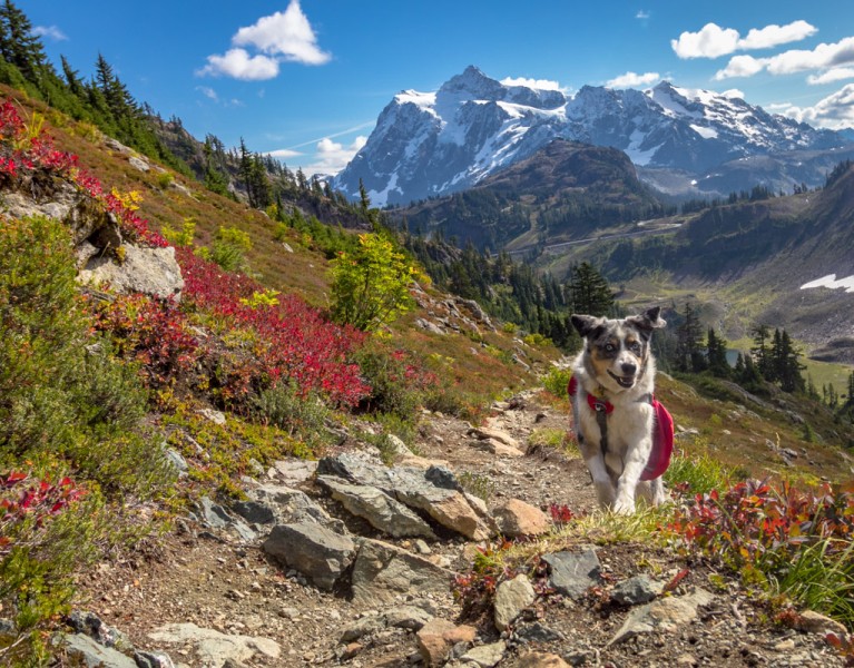
This classic backpacking loop of the Cascade Mountains starts in the shadow of two of Washington’s most famous peaks — Mt. Baker and Mt. Shuksan. While the 6.5-mile loop can certainly be completed in a day, the drive to the trailhead makes for a long day for those living in the Seattle area, plus no one will complain about spending more time among these mountains. Just about every season brings a unique beauty to this hike.
Springtime features beautiful wildflowers; hikers can take a dip in one of the many alpine lakes in summer, and the blueberry bushes put on a brilliant display of colors during fall. There are plenty of camping sites along the trail and options for extended or overnight trips.
You can take a look at our guide on national parks near Seattle for more info.
Marmot Lake and Jade Lake
Difficulty: Medium to Hard.
Length: 20 miles.
Elevation gain: 2500 feet.
Routine Type: There-and-back.
Dog Friendly: Yes.
Family Friendly: No.
Trailhead: Salmon La Sac Trailhead, Cle Elum.
Notes: Be mindful of insects, road and trail conditions.
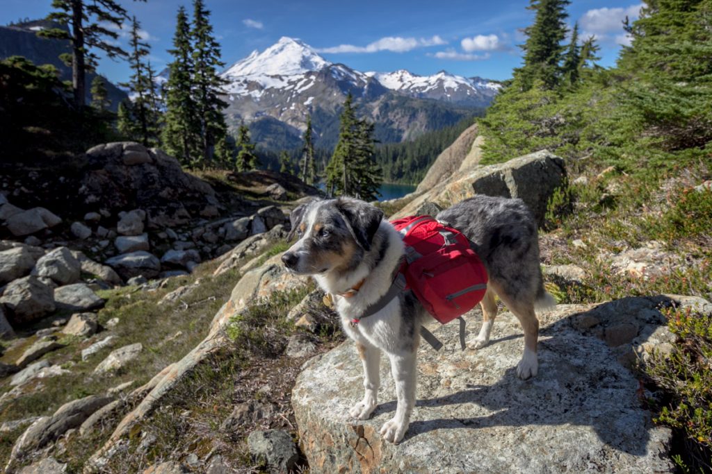
Located in the Alpine Lakes Wilderness outside the small town of Roslyn, this 20-mile round trip hike is a true gem. The hike to Marmot Lake is fairly easy, while the remaining mile and a half after Marmot Lake is not for the faint of heart. The trek to reach Jade Lake requires walking along a rooted and narrow trail with plenty of fallen trees before reaching a steep and treacherous scramble.
Experienced hikers will be fine, and the climb is absolutely worth it to camp above the stunning turquoise Jade Lake. More adventurous hikers can add on Pea Soup Lake, which sits at the base of Mt. Daniel. Getting there means traversing a glacier, so timing is of the essence.
Barclay Lake
Difficulty: Easy.
Length: 4.4 miles.
Elevation gain: 500 feet.
Routine Type: There-and-back.
Dog Friendly: Yes.
Family Friendly: Yes.
Trailhead: Mount Baring / Barclay Lake Trailhead.
Notes: Be mindful of road and trail conditions.
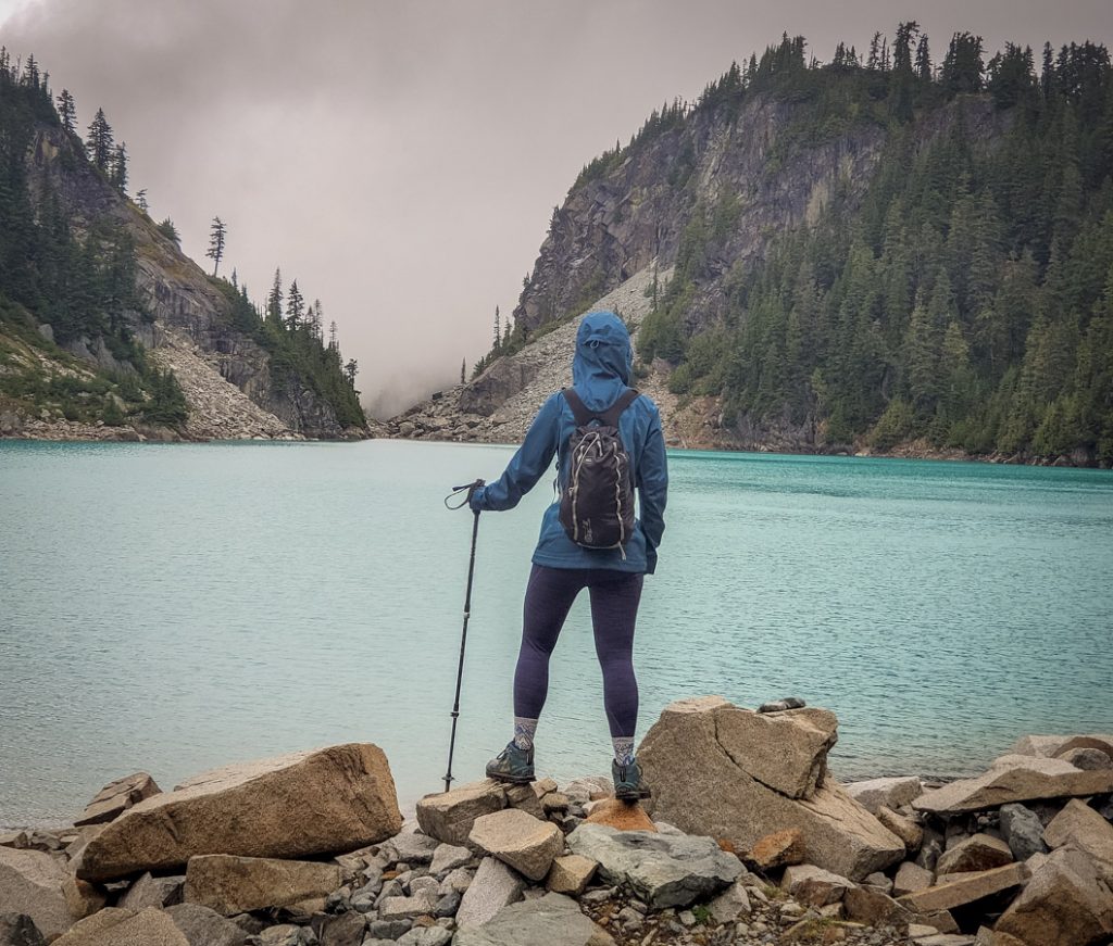
This short 5-mile round-trip jaunt is a perfect backpacking trip for beginners. The mostly flat trail follows a wooded path alongside a river much of the way. Towering trees keep the sun out, and hold warmth in during the cooler months.
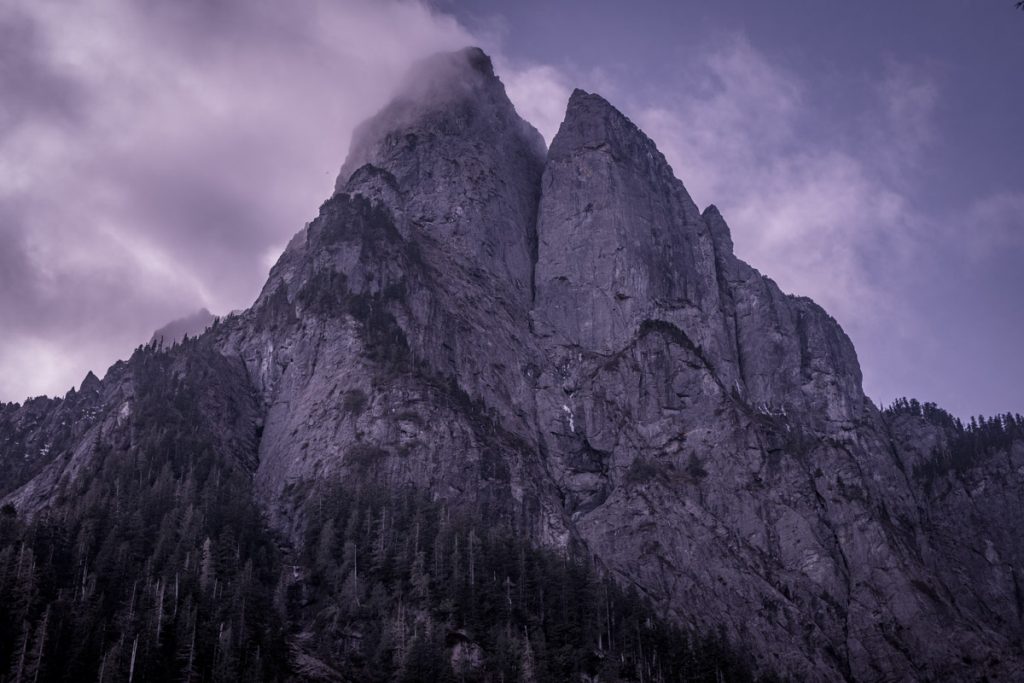
Barclay Lake sits just below Mt. Baring, a precipitous peak that reflects its jagged peak in the water. Several lakeside camping spots accommodate backpackers. It’s a popular spot, so plan to arrive early.
Goat Lake
Difficulty: Easy.
Length: 10.4 miles.
Elevation gain: 1400 feet.
Routine Type: Loop.
Dog Friendly: Yes.
Family Friendly: Yes.
Trailhead: Elliott Creek Trailhead.
Notes: Be mindful of road conditions.
This beginner-friendly backpacking trip to the Cascade Mountains is a 10.4-miles roundtrip hike with 1,400 feet of elevation gain in 5.2 miles. At mile 3, hikers can choose to take either the Upper or Lower Elliot Trail to the terminus at the lake. Take one up and the other down to experience the different Cascade views along each route.
Goat Lake has a nice shoreline surrounded by mountain views. Just above the lake are about 15 or so camping spots with a vaulted toilet. Don’t forget to visit the nearby waterfalls!
Yellow Aster Butte
Difficulty: Hard.
Length: 7.5 miles.
Elevation gain: 2550 feet.
Routine Type: There-and-back.
Dog Friendly: Yes.
Family Friendly: No.
Trailhead: Tomyhoi/Yellow Aster Butte Trailhead.
Notes: Be mindful of trail and road conditions. Campfires are not allowed. Visitors to this trail must pack out all human waste not bury it.
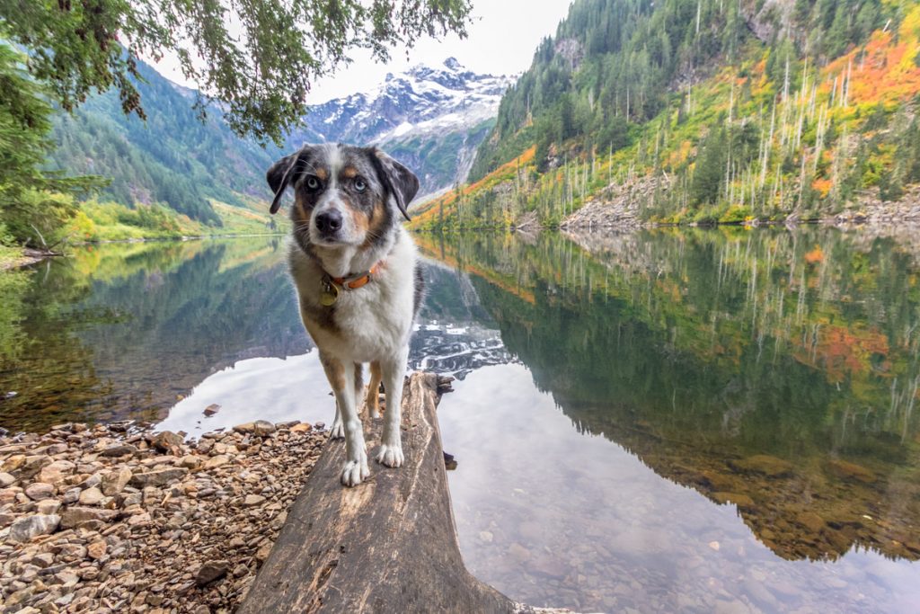
Practically just a stone’s throw from the Canadian border, Yellow Aster Butte is a wildly popular hike, and for good reason. It has stunning views of Mt. Baker, luscious meadows of wildflowers in the spring, and spectacular fall colors in September. The first mile and a half is tough, gaining 1,500 feet on a steep trail that eventually evens out as you cross through a meadow.
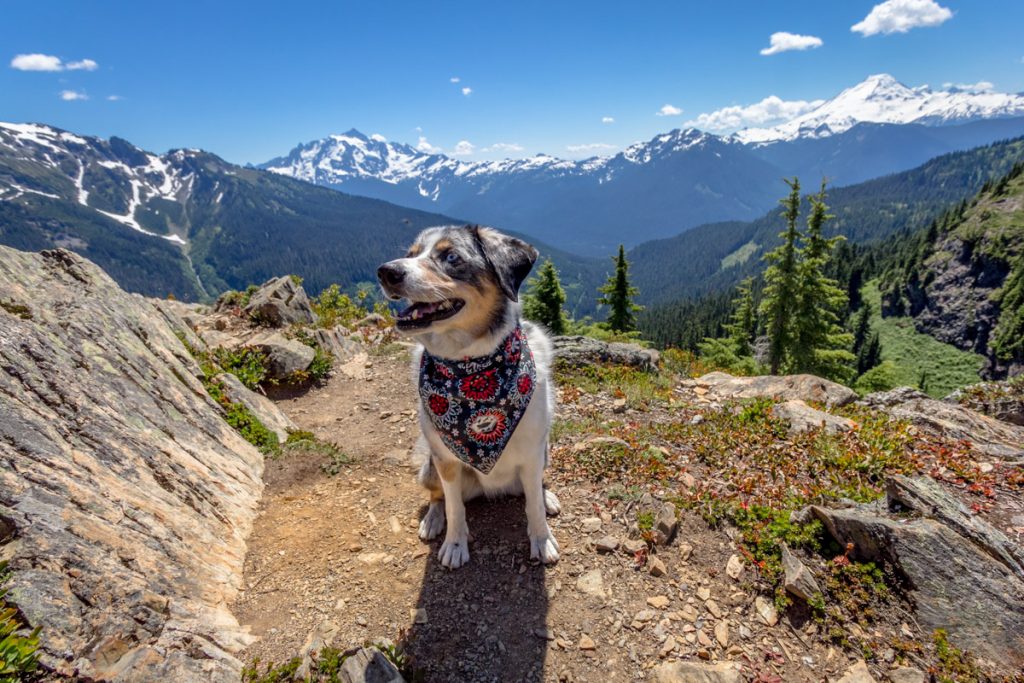
Backpackers may want to ditch their packs at camp, a junction located about 3.6 miles from the trailhead, and carry on to the peak for wide-open views of Mt. Baker, Tomyhoi Peak, Mt. Shuksan, and several other Cascade mountains.
Thunder Creek
Difficulty: Medium.
Length: 10.3 miles.
Elevation gain: 1300 feet.
Routine Type: There and back.
Dog Friendly: Yes. Dogs must be leashed.
Family Friendly: Yes.
Trailhead: North Cascades Hwy. 20, Rockport.
Notes: Be mindful of trail conditions and insects.
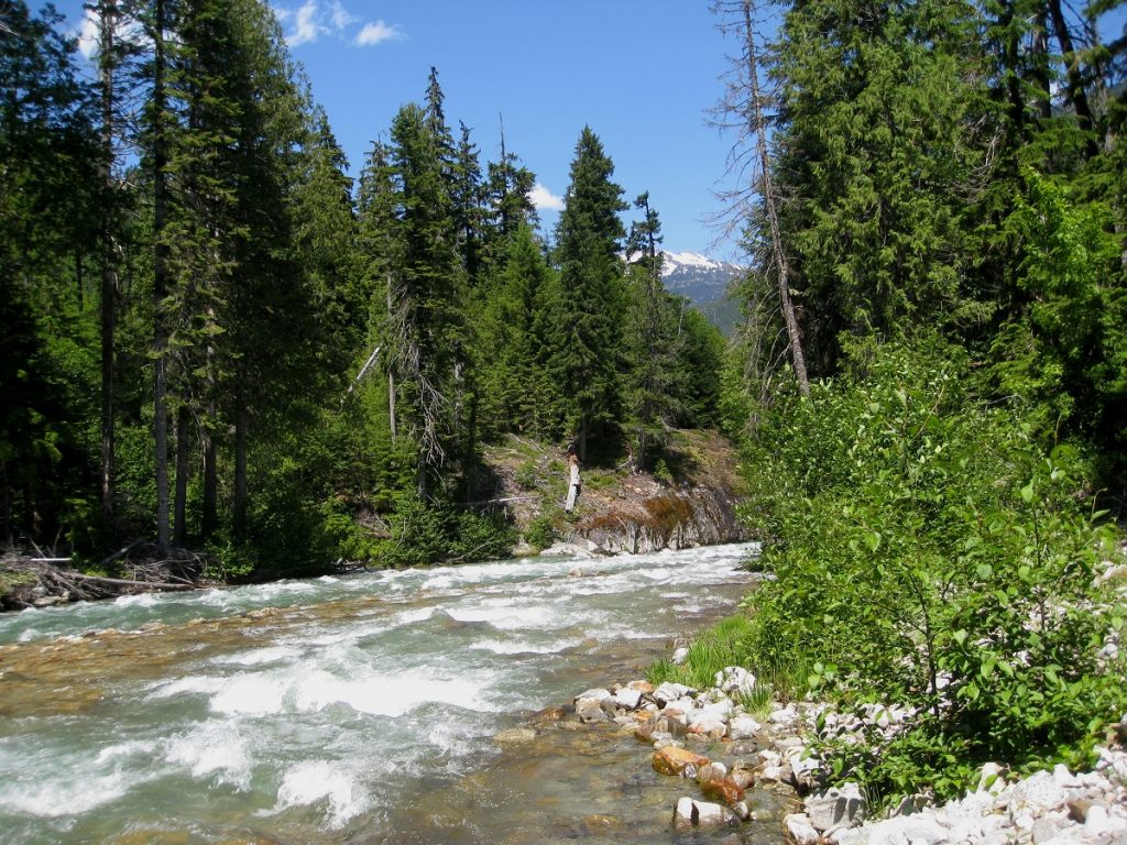
Located in North Cascades National Park, this trail begins in lush old-growth forest of cedars and Douglas firs and follows a blue-green, glacier-fed creek that winds alongside it. Wide and not too rocky, this section of trail is accessible to hikers of all ages. An abundance of birds such as owls, woodpeckers and osprey find their home in the area.
The trail is perfect for a day hike, with an easy two-mile stroll to the first of two bridges or a longer, strenuous hike farther along the main trail. First-time and experienced backpackers can take advantage of several camps located along different sections of the trail. Experienced backpackers will note that Thunder Creek is a gateway to an extensive network of trails and offers a great opportunity for a multi-day backpacking trip up and over the spectacular Park Creek Pass into the Stehekin Valley.
A backcountry Washington state camping permit (free of charge) is required to camp in North Cascades National Park. Permits are a way of regulating the amount of foot traffic in fragile environments that can only handle so much use before they begin to erode. By limiting the number of visitors to an area, permits not only preserve the environment but also the experience of hikers themselves. Contact the National Park Service for more information about obtaining a backcountry camping permit.
Bear Creek Mountain
Difficulty: Medium.
Length: 7 miles.
Elevation gain: 1237 feet.
Routine Type: There and back.
Dog Friendly: Yes.
Family Friendly: Yes.
Trailhead: South Cascades, Goat Rocks
Notes: Be mindful of road conditions and insects.
Located within the Goat Rocks Wilderness area, the trail starts off weaving and climbing through alpine forest full of pines, where hikers will quickly break out into their first spectacular alpine meadow. After crossing Bear Creek and viewing ever-improving vistas of Bear Creek Mountain, even more stunning wildflower filled meadows greet backpackers with colorful daisies, lupine, monkeyflower and buttercups. There is no shortage of meadows to camp in along this trail.
The trail does begin to climb steadily and may be difficult to follow at times, but it’s worth it. As the third-highest hiker-accessible trail in the Goat Rocks, once the summit is reached, hikers will be in awe of the 360-degree impressive views that include Mount Adams, Mount Rainier and the monumental Goat Rocks with its rocky ridges and jagged peaks. Herds of mountain goats are also a likely find while hiking Bear Creek Mountain Trail.
Pacific Coast Trail - Harts Pass to Holman Pass
Difficulty: Medium to Hard.
Length: 27 miles.
Elevation gain: 2461 feet.
Routine Type: There and back.
Dog Friendly: Yes. Dogs must be leashed.
Family Friendly: No.
Trailhead: North Cascades - Pasayten
Notes: Be mindful of road conditions. A high-clearance vehicle with good tires is highly recommended, as the road into Harts Pass is treacherous.
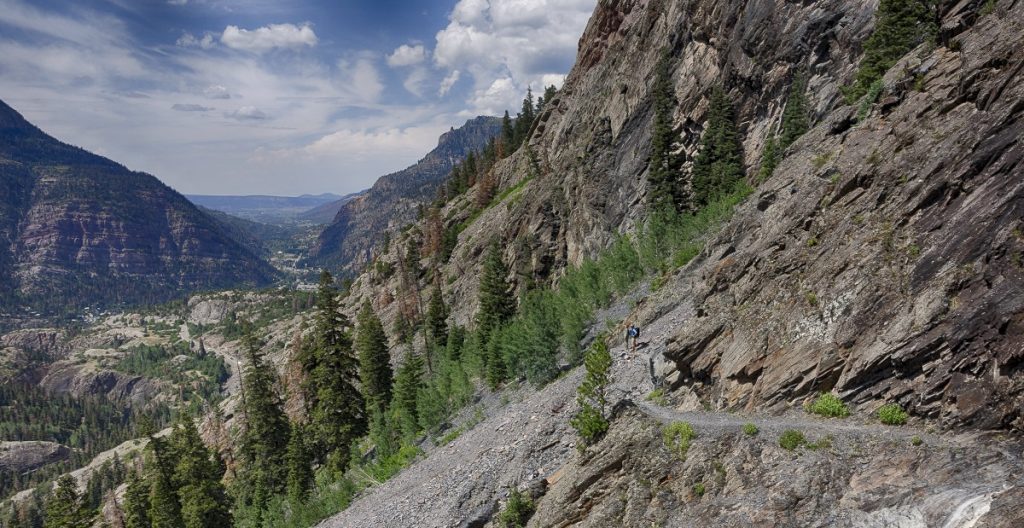
Crossing California, Oregon, and culminating in Washington, the iconic Pacific Crest Trail (PCT) is one of the most popular trails in America. Each year, many hikers (known as thru-hikers) embark on a journey of a lifetime up the entire length of the PCT, while many more (known as section-hikers) utilize the trail all summer for day hikes or overnight backpacking trips.
Situated just outside North Cascades National Park, this stunning section of the PCT offers backpackers a triple treat of the dramatic peaks of the North Cascades, the vastness of the Pasayten Wilderness and a spectacular high alpine hiking experience. The first mile is a steady uphill hike through patches of forests and flowering meadows under the shadow of the Slate Peak tower. On the well-kept trail you'll be surrounded by an abundance of huckleberries and blooming wildflowers through late spring and early summer. Wildlife is also quite plentiful. Marmots, pikas, mountain goats and black bears frequent the trail. Water sources and established campsites are frequent on this stretch of the PCT.
Windy Pass
Difficulty: Moderate.
Length: 7 miles
Elevation gain: 1300 feet.
Routine Type: There and back.
Dog Friendly: Yes. Dogs must be leashed.
Family Friendly: Yes.
Trailhead: North Cascades - Pasayten
Notes: Be mindful of road conditions. The road up to Windy Pass is full of potholes, boulders and sizable drop-offs. A high-clearance vehicle with good tires is recommended.
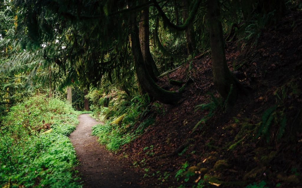
Arguably one of the most scenic and easily-accessible hikes on the PCT in the Pacific Northwest. The views of the North Cascades and Pasayten are magnificent almost every step of the way, and hikers don’t have to work terribly hard to reach them.
Hiking along the relatively flat trail, backpackers will encounter breathtaking views at every turn: Gardner Mountain, the Needles, Silver Star, Golden Horn and nearby Ballard and Azurite are to the south. To the west are Jack and Crater and to the east is Pasayten Wilderness. Windy Pass provides an ideal turn-around for a day hike, or backpackers can spend the night in Windy Basin and enjoy plentiful opportunities for exploration.
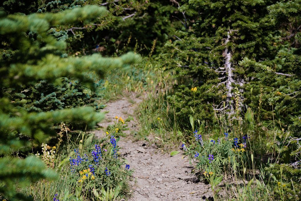
Interested in more breathtaking landscapes? Then discover the beauty of Olympic National Park!
Jen Sotolongo is a writer, photographer, and blogger. She travels the world in search of the most dog-friendly cities and outdoor adventures. Join her journey at Long Haul Trekkers.


