Discover Utah's Kodachrome Basin State Park
Table of Contents [Show]
Utah is known for its Mighty 5 National Parks, but full campgrounds and busy trails make it difficult to explore the parks during peak season. Thankfully, Utah's state parks offer scenery, trails and camping options that rival the Mighty 5, without the crowds. In mid-June, we camped two nights in Kodachrome Basin State Park and took full advantage of the park's amenities and location to explore the surrounding area.
A Colorful Gem in Bryce's Shadow
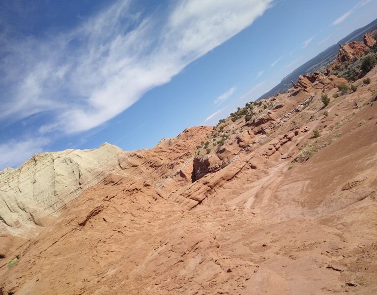
Only 20 miles southeast of Bryce Canyon, Kodachrome Basin State Park is a little known gem with color and beauty to rival its famous neighbor. Named for its colorful scenery, the park has 12 miles of trails that meander through multi-hued sandstone layers. The well-maintained campsites make a great base for exploring the surrounding area, and excellent campground showers are an unexpected and welcome treat. There's no cell service in the park, but you can use free wifi while lounging in hammocks outside the visitor center. The gift shop is well stocked with ice cream, drinks and other snacks.
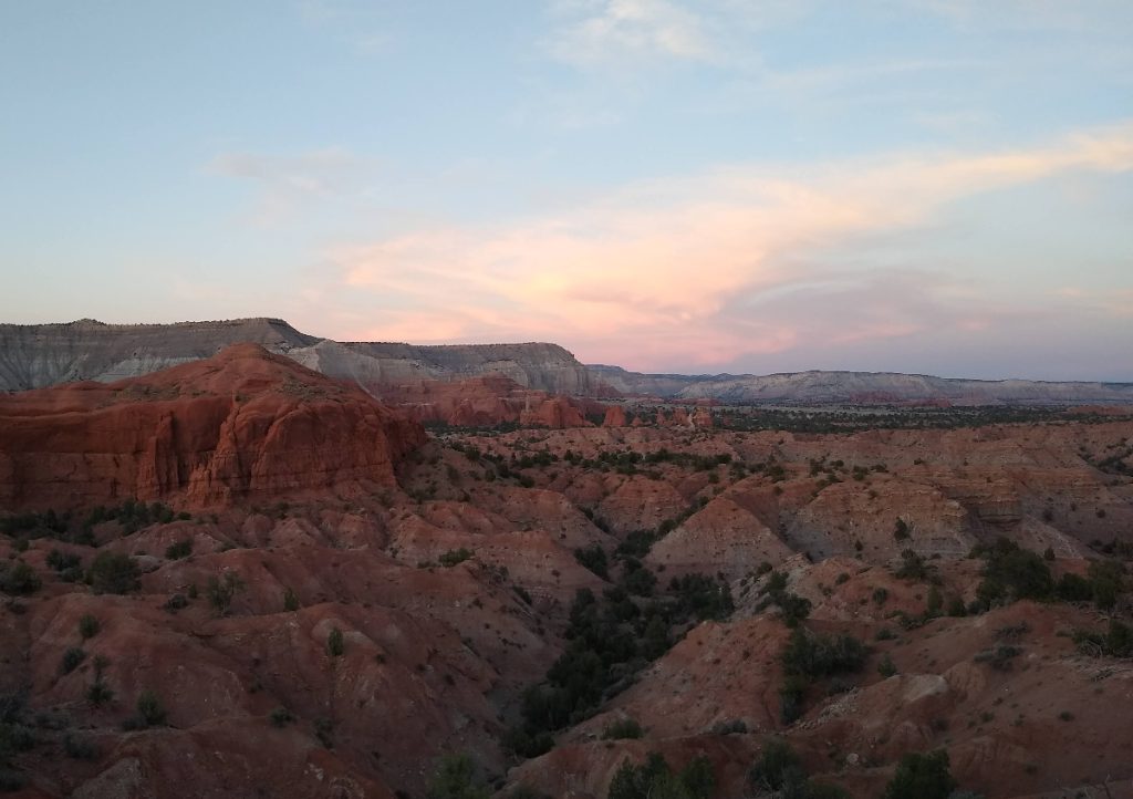
Kodachrome has three campground loops with sites that can be reserved through the Utah State Park online system. We stayed in Bryce View Campground. With no hookups and a maximum occupancy of 4 people per site, this quiet loop of 11 reservable sites is perfect for tent camping.
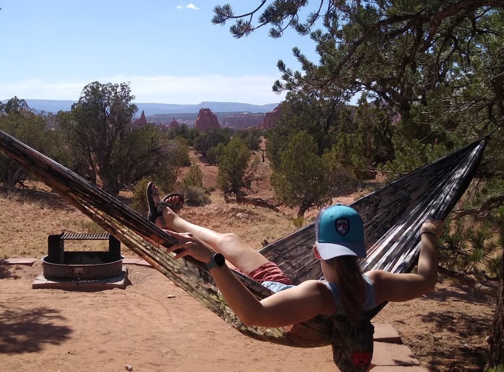
Each site features a fire ring, picnic table and great views of the park's spectacular sand pipes and Bryce's pink ledges in the distance. Pit toilets and potable water are available in the center of the loop, and campers can use the showers at the Oasis group site. Pinyon pine trees provide shade and strong anchor points for hammocks. Pro tip: Use tree-friendly straps to prevent damage and protect the trees.
Angel's Palace Trail
For incredible views of Kodachrome's scenery, you can't beat the short but sweet Angel's Palace Trail. A series of short, interlinked loops cross a wide sandstone bench above the main park road. Only 1.5 miles total, the trail leads to several overlooks with 360-degree views of colorful Kodachrome Basin. Grand Palace Trail is another short hike that stays on the basin floor.
Panorama Point
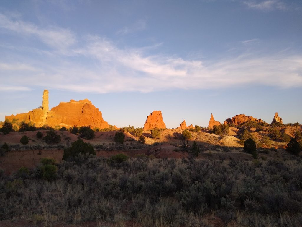
At six miles, Panorama Trail is the longest hike in the park. Three connected loops lead hikers to several major features, including sand pipes, a small group of hoodoos, and Panorama Point. This multi-use trail makes an excellent trail run or mountain bike loop in early morning or evening.
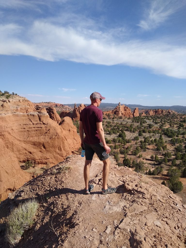
We opted for a shorter, 3-mile out-and-back sunset hike to Panorama Point. Atop the point, we enjoyed sweeping views across the Paria River Valley and over the park.
Round Valley Draw
Only a few miles from the park, Cottonwood Canyon and Skutumpah are rugged roads that traverse the Grand Staircase-Escalante National Monument. Without a high clearance 4WD vehicle, we opted to venture down the well-graded and maintained Cottonwood Canyon Road.
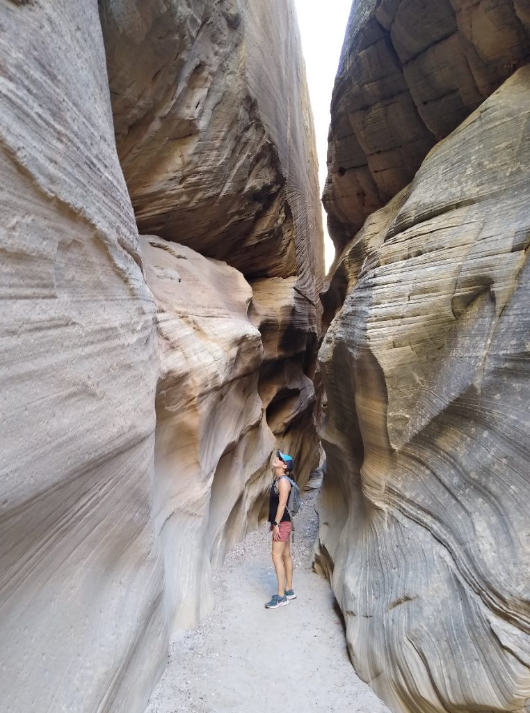
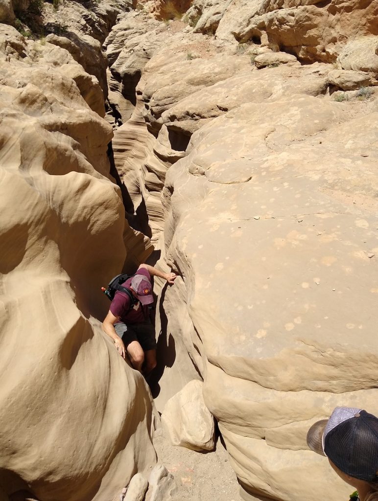
Round Valley Draw is a beautiful, non-technical slot that can be explored in a few hours. From the parking area, follow the wash 0.75 miles to the slot entrance. The drop-in is the most difficult section of the slot; beginners and younger children may need assistance with the down climb.
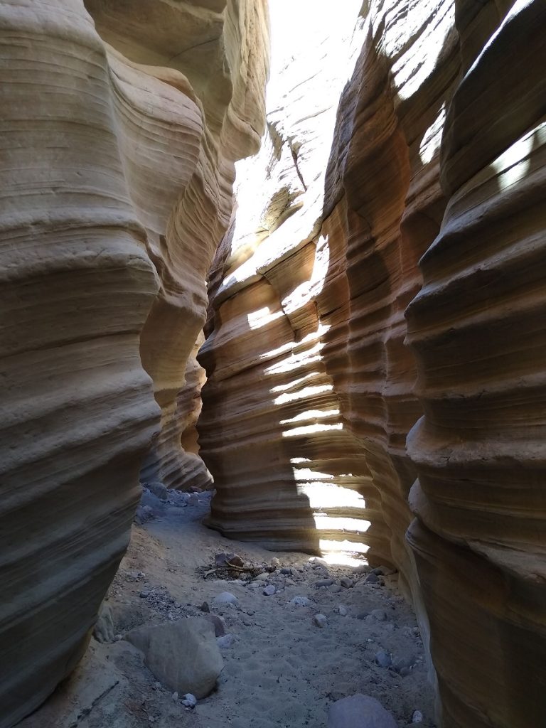
As you head down canyon, the slot opens and narrows in several places. There are a few scrambles and boulders to navigate, but otherwise the slot is very easy to explore. Two climb-out routes offer alternate return hikes along the rim, or you can stay in the slot (and the shade) and return up canyon. The first 1/2 mile features the best sections of the slot, but continue exploring down canyon for a longer hike.
Resources & Helpful Hints
- For detailed descriptions and maps, the Non-Technical Canyon Hiking Guide to the Colorado Plateau is an excellent resource for exploring slot canyons in Southern Utah, including Round Valley Draw.
- Desert temperatures soar above 100 degrees in summer but will feel significantly cooler in the slots. Dress in light-colored, quick-drying fabrics and wear a hat for exposed sections. Don't forget sunscreen!
- Wear trail or hiking shoes with grippy bottoms for better traction on varying terrain, including slick rock, fine sand, rough rock and gravel. Wear synthetic or wool performance socks to prevent blisters.
- Always check the weather forecast. Rainstorms miles away can quickly cause flash floods in downstream canyons. Do NOT go into slots or gulches if there is a chance of rain.
- Carry enough water for the entire hike. Leave a cooler with drinks in your car to replenish and rehydrate after the hike.
- Pack salty snacks, as well as potassium-rich foods like bananas, dried fruit and nuts.
- Carry first aid essentials, including cleaning wipes, band aids, and ibuprofen.
- Download trail maps before you venture into the canyons.
Directions: Just past the turnoff to Kodachrome Basin State Park, Cottonwood Canyon Road turns to dirt. Approximately 6.5 miles from Kodachrome (or 12.9 miles from Cannonville), follow signs to Round Valley Draw and turn onto Road #422. The trail head is 1.5 miles down the wash. Park in the pull-off and sign in at the trail register.
Hiking among the Hoodoos
After spending the morning exploring Round Valley Draw, we headed back to Kodachrome for a picnic lunch. The pavilion near Angel's Palace trailhead provided a shady respite from the sun. As temperatures soared in the afternoon, we decided to make the 30-minute drive to Bryce Canyon National Park. Reaching 9,100 feet in elevation, the park's high altitude provided a quick escape from the scorching heat on the valley floor.
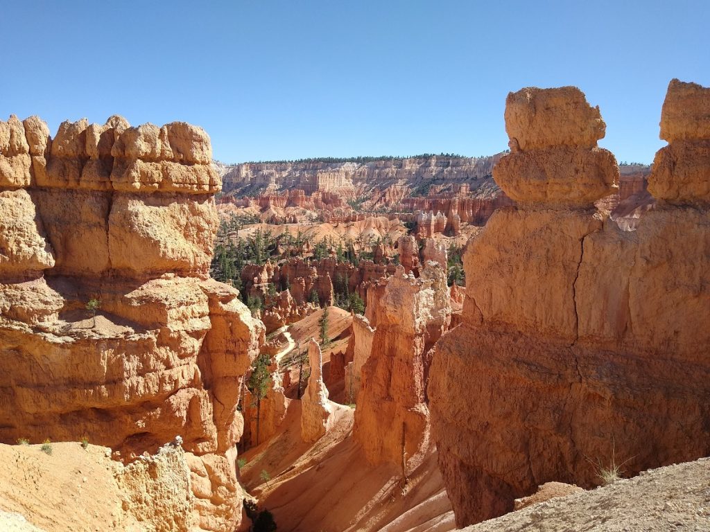
To get the best sampling of Bryce Amphitheater, we hiked the 2.9-mile Queens Garden & Navajo loop. While the park recommends hiking the loop clockwise, we started at Sunset Point, descended Wall Street and hiked the loop counterclockwise.
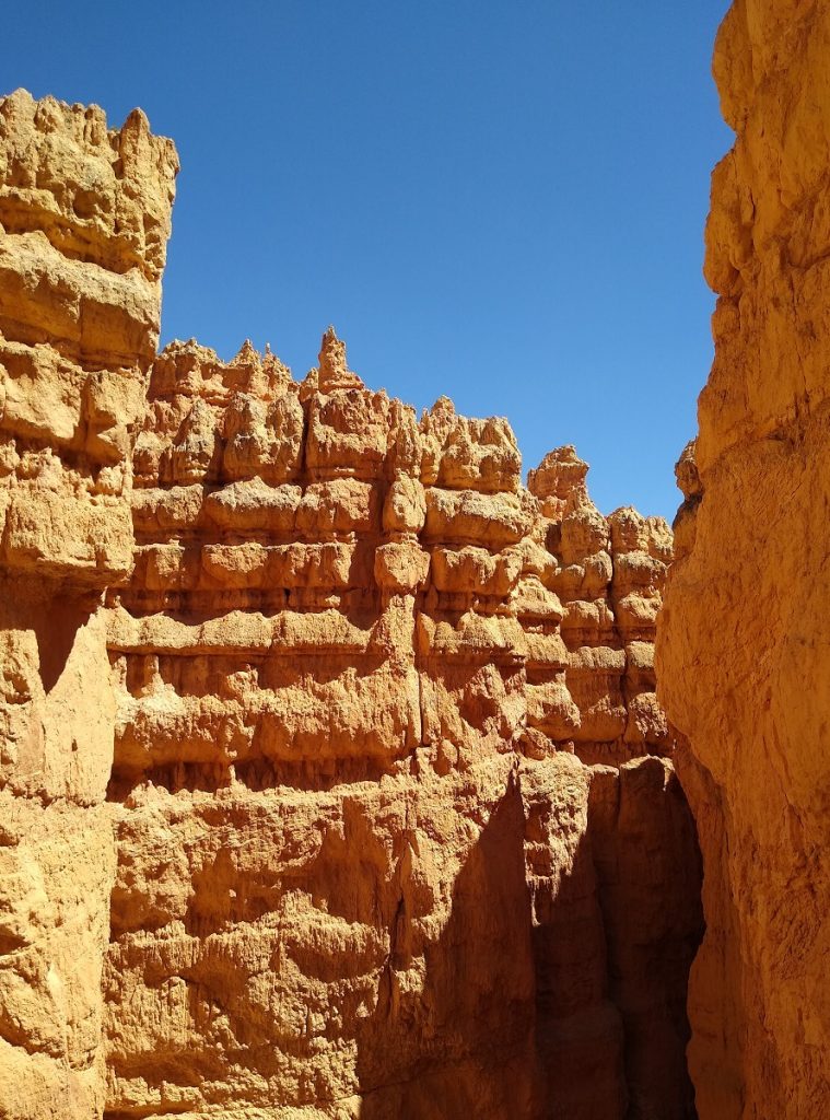
After masterful switchbacks descend Wall Street, the trail bottoms out below the hoodoos and meanders through pine trees along the connector to Queen's Garden.
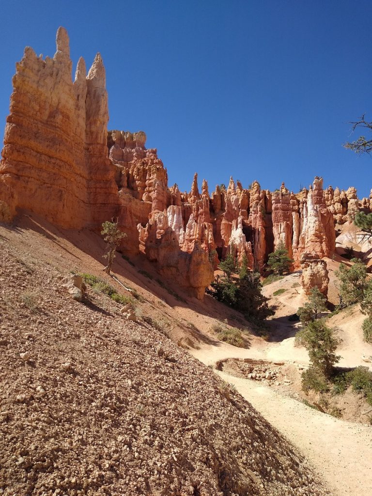
After a short spur trail to Queen Victoria, pass through a tunnel and climb the Queen's Garden Trail back to Sunrise Point. On the ascent, look back for incredible views across the amphitheater. The last 1/2 mile is an easy walk along the rim back to Sunset Point.
Utah's Best Kept Secret
Packed with amenities but not the crowds, state parks like Kodachrome Basin, Goblin Valley, Coral Pink Sand Dunes and Snow Canyon provide visitors with intimate experiences and convenient base camps. Consider one of Utah's state park for your next adventure - you won't be disappointed!
Nicole's idea of a perfect vacation involves camping, hiking, trail running, SUP and exploring secluded beaches with her husband and two daughters. She writes about travel, raising KÜHL kids and her obsession with outdoor apparel for KÜHL.

