A Dog-Friendly Guide to Montana's Bitterroot Valley
Table of Contents [Show]
When my brother got married in Montana’s Bitterroot Valley, I jumped on the opportunity to spend some time after the ceremony in the region to explore the trails. Located between the Idaho and Montana borders, the Bitterroots are part of the Rockies Range.
The Bitterroots feature towering granite peaks and dozens of turquoise alpine lakes. With plenty of outdoor adventures ranging from hiking, trail running, mountain climbing, rock climbing, and skiing, there is no shortage of fun to be had in this special part of the country.
I relied entirely on guide books by Michael Hoyt, a resident and avid hiker of the region. Many of the trails described below are not official trails and Hoyt’s guide books provide pivotal information about the hikes, including GPS coordinates, photos, and detailed explanations. I took photos of the text on my phone and used Maps.Me as an offline map.
Blodgett Creek Trailhead
Popular among locals who hit this nearby trail after work for a quick hike or run, Blodgett Creek Trail spans just over 11 miles, so you can make as long or as short a trip as you like. On the chilly, rainy, late weekday afternoon when I visited, I encountered just a handful of other people, mostly solo hikers.
The trail follows the lovely Blodgett Creek and is set deep between canyon walls in a sometimes overgrown swath of green bushes. The rain illuminated the greens and reds from the huckleberry bushes.
Blodgett Canyon is used by equestrians, backpackers, hikers, and trail runners, and offers the chance to see wildlife, such as mountain goats. It can be used year round, and the trail is accessible on skis or snowshoes when snow arrives.
Baker Lake, Middle Lake, and Gem Lake
One of the most popular trails in the Bitterroots, Baker Lake is worth visiting during a weekday if you can swing it. If you venture to the other two lakes, the crowds dissipate, and you may have the entire place to yourself, like we did.
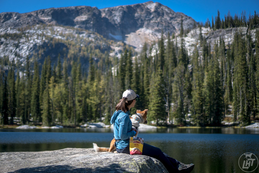
My brother, sister-in-law, and I backpacked to Baker Lake just after their wedding at a nearby hot spring. Just 2.5 miles from the trailhead to Baker Lake, this was a great, quick overnight that allowed us to maximize our time in the region.

At Baker Lake, we dropped our gear and headed to Middle and Gem Lakes on the same day. The trail leaving Baker Lake can be a bit tricky to find, so have an offline map available and solid route -finding skills.
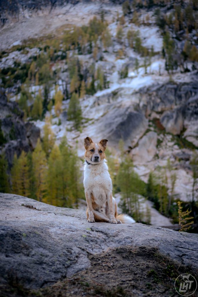
Once you navigate from Baker Lake, you’ll eventually discover a well trodden path leading to Middle and Gem Lakes. We visited in late September and caught the Larch trees glowing in gold around the rock walls surrounding the lakes. It was a truly beautiful site.

If you prefer to camp at Gem Lake, there are plenty of options and the trail isn’t much longer or steeper.
Trapper Peak
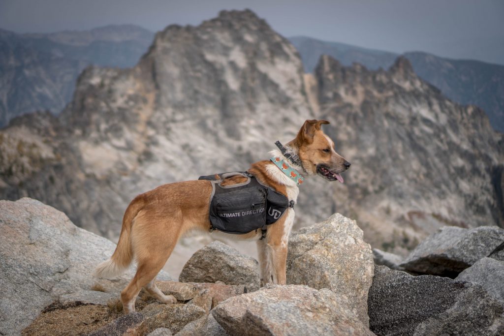
At 10,157 feet, Trapper Peak is the tallest mountain in the Bitterroot Mountains. Located just a short drive from the town of Darby, the prominent peak is well known. Despite its stature, relatively short distance of just over 8 miles round trip, and the lack of technical skills required to climb the peak, the peak doesn’t see a ton of traffic.
Views from the top look across the valley, showing off all the jagged peaks and smaller towns below. The effort is truly worth the grind.

The other, and more adventurous approach to the peak is via the Baker Lake Ridge route (hike described above). From Baker Lake, a climbers’ trail leads to the Trapper Peak Trail after following a faint trail along a sort of ridge. My group and I opted for this route, since we had spent the night at Baker Lake.
This option requires offline maps and route-finding skills. It’s not difficult, however it is easy to veer off course, as the trail is non-existent in spots and relies on cairns from time to time.
Once the trails meet, keep your eye on the peak (use that map!) and follow the field in that direction. Eventually, you’ll reach a boulder field that will lead you to the peak. Just be sure to keep going once you reach the false summit!
Saint Mary Peak
Perhaps the most-visited summit in the entire Bitterroot Range, Saint Mary Peak is easily-reached (though, unfortunately not on my attempt!) and features an operational fire tower lookout.
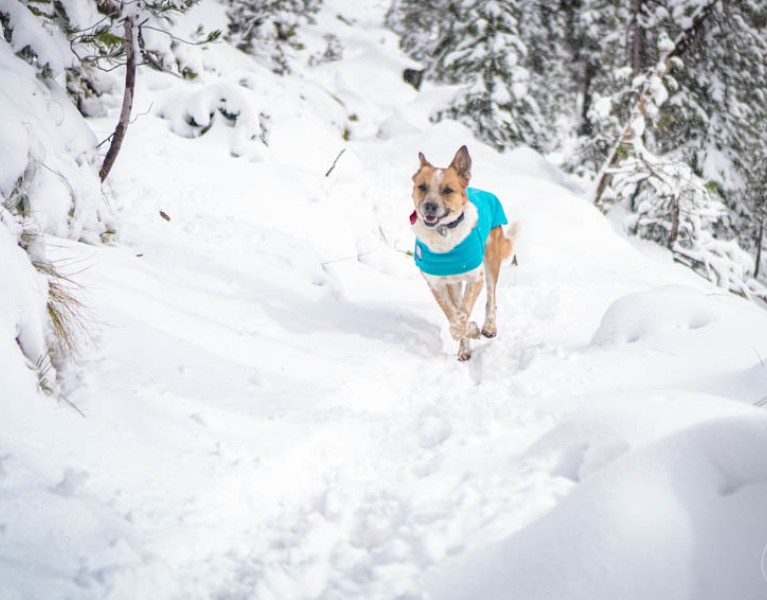
Located down a long, dirt road outside of the town of Stevensville, Saint Mary Peak is a 7-mile out and back trail with an elevation gain of 2,500 feet. The day I visited surprised me with a hefty amount of snow and strong winds that forced me to turn around about ⅔ of the way up. Disappointed by the weather, it certainly left me wanting to return to finish what I started!
You can opt to take the short detour to McCalla Lake on the way up to Saint Mary Peak. The trail is not well marked, but an offline map helpa navigate the way. Backpackers can spend the night, and those wanting to avoid the crowds can access the peak from the lake without using the official trail.
Jen Sotolongo is a writer, photographer, and blogger. She travels the world in search of the most dog-friendly cities and outdoor adventures. Join her journey at Long Haul Trekkers.


