- 1. Key Takeaways
- 2. Trail Safety
- 2.1. Preparing the Right Gear
- 3. Family-Friendly Hikes in Boulder, Colorado
- 3.1. Boulder Creek Path
- 3.2. Alberta Falls Trail
- 3.3. Bobolink Trail
- 3.4. Green Mountain West Ridge Trail
- 3.5. Wonderland Lake Loop
- 3.6. Rattlesnake Gulch
- 3.7. Flatiron Vista
- 3.8. Lost Lake Hike
- 3.9. Flagstaff Realization Point
- 3.10. Tenderfoot Trail
- 3.11. Chautauqua Park
- 3.12. Red Rocks Trail
- 3.13. National Center for Atmospheric Research (NCAR)
- 3.14. Mesa Trail
- 3.15. Boulder Falls
- 3.16. Mallory Cave
- 3.17. Bald Mountain Trail
- 3.18. Emerald Lake Hike
- 4. More Difficult Hikes in Boulder, Colorado
- 4.1. Royal Arch Trail
- 4.2. Eldorado Canyon Trail
- 4.3. Bear Peak Trail
- 4.4. South Boulder Peak Trail
- 4.5. Mount Sanitas Peak Trail
- 4.6. Flatirons Loop Trail
- 5. Final Thoughts
- 6. FAQs
- 6.1. How many hiking trails are in Boulder?
- 6.2. What is the best time of year to hike in Boulder?
- 6.3. Is it safe to hike in Boulder alone?
- 6.4. Will I get altitude sickness in Boulder?
- 6.5. Can you swim in Boulder Falls?
Family-Friendly Boulder Hikes - Incredible Colorado Trails
Table of Contents [Show]
Boulder, Colorado, is accustomed to topping lists of the fittest and healthiest cities. That’s unsurprising for a city blessed with pleasant year-round weather and a foot-of-the-mountain setting.
Picking the best Boulder hikes from over 300+ miles of scenic trails is no easy task. Regardless, these 24 hikes in Boulder are some of the best if you ask us. Read on for trail details, location, cost, and important things to know when hiking in Boulder, Colorado.
Key Takeaways
- Boulder hiking trails have a relatively safe and welcoming vibe.
- Bears and mountain lions are the major threats when hiking near Boulder, Colorado. Avoid hiking solo, especially around dawn and dusk, to minimize wildlife encounters.
- Ease into it. Boulder has multiple hiking trail options for hikers across all experience levels. Before committing, evaluate trail location, distance, elevation gain, and conditions to ensure they match your family’s fitness level and ability.
Trail Safety
Boulder trails have a welcoming, enjoyable, and safe vibe. Most of the trails have a lot of hikers on them, so you are less likely to feel alone.
The violent crime rate in Boulder, Co, is significantly lower than most comparably sized US cities. Of course, that doesn’t mean hiking mindlessly. Take normal hiking precautions, including being vigilant and aware of your surroundings, especially at dawn or dusk.
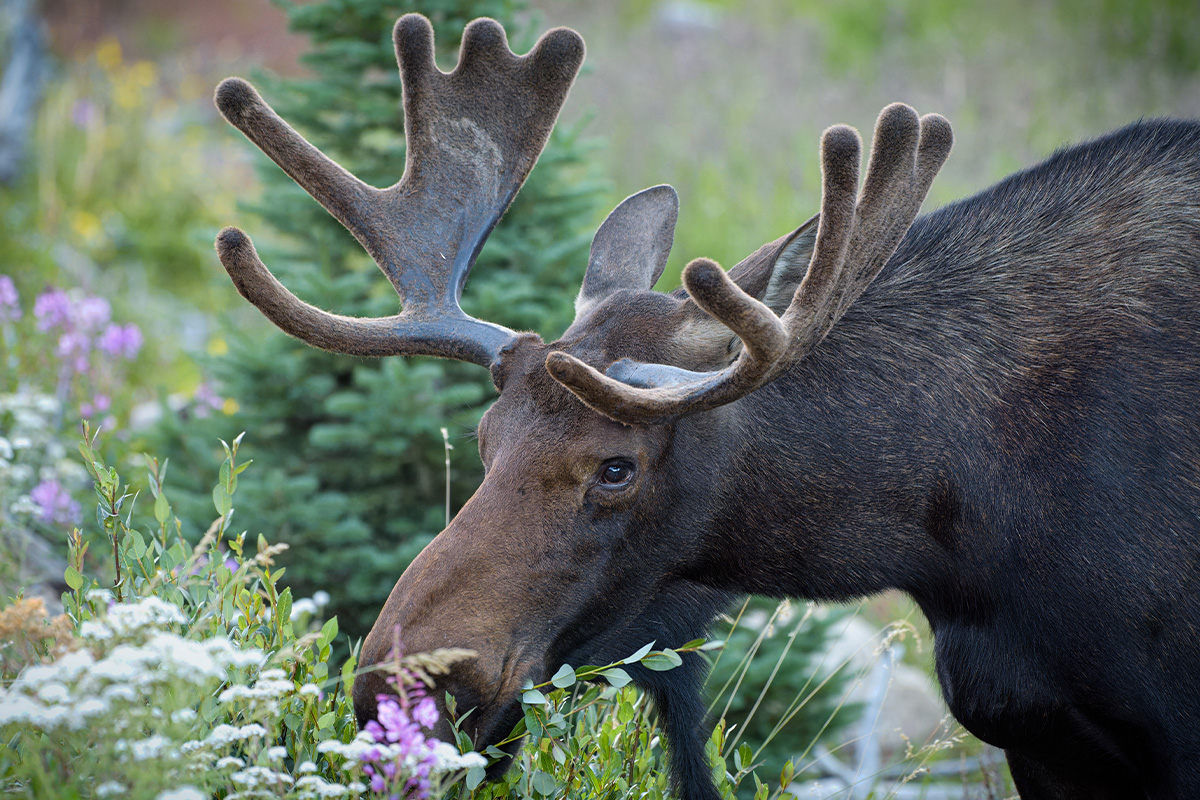
The major threat when hiking in Boulder is wildlife, particularly bears and mountain lions. Although animal attacks are rare, it’s best to keep your eyes peeled and give all animals a lot of space. Also, avoid hiking around dawn and dusk to lower your chances of encountering wild animals.
Preparing the Right Gear
Essential hiking gear and proper clothing are key to beating Boulder’s unpredictable terrain, changing weather, and elevation gain. Here’s what to pack for stellar Boulder, Colorado hikes:
- Top clothing- start with a lightweight base layer, such as nylon, polyester, or merino wool, to keep you bone dry. For the mid-layer, you’ll want a fleece or insulated jacket to keep you warm and toasty when it gets cold. Top off everything with a breathable, waterproof, and windproof shell.
- Bottom layer- comfortable, flexible, and sturdy pants or shorts.
- Footwear- sturdy, waterproof, and COMFORTABLE hiking boots or shoes. Whatever shoes you bring, ensure they have a grippy sole to navigate the rocky surfaces.
- Socks- wool or synthetic socks so your feet stay warm and dry.
- A wide-brimmed hat and sunglasses- to protect you from the sun.
- A warm beanie and gloves to keep you warm during that quick windstorm.
- First aid kit- Load your pouch with our DIY first aid checklist for safe Boulder, CO hikes.
- Sunscreen- Remember to lather up every 1-2 hours for added protection against the sun’s rays. Bring lip balm, too.
- Hiking food and enough water to stay energized and hydrated on the trails.
If online shopping is your thing, you’ll love KÜHL clothing. With only a few clicks, discover a range of women’s hiking clothing and men’s outdoor wear crafted for premium flexibility and superior comfort regardless of the weather.
Family-Friendly Hikes in Boulder, Colorado
Boulder Creek Path
Boulder Creek Path is one of the best easy hikes in Boulder, particularly if you want to remain closer to the city. This fairly easy trail extends around 7.5 miles from Stazio Ballfields on the east through downtown to Boulder Canyon on the west.
Pro tip: Boulder Creek Path gets overcrowded because it’s a multi-use trail, allowing easy hiking near Boulder. Plan to start early (around 7 AM).
Difficulty: Easy
Cost: Free
Alberta Falls Trail
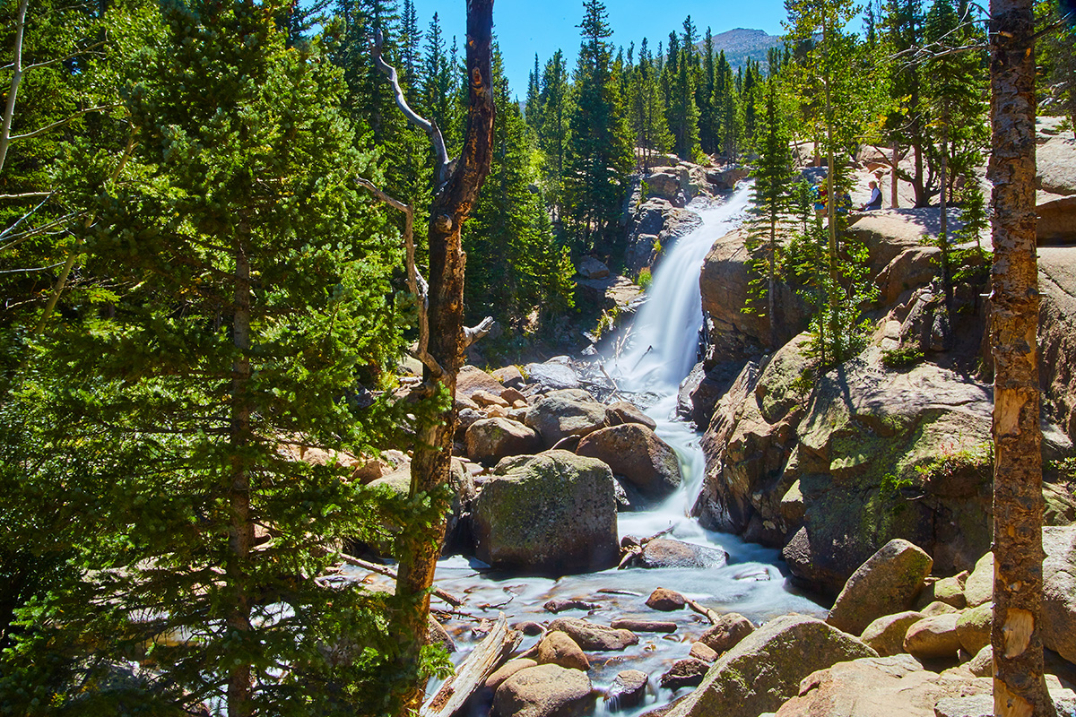
Alberta Falls is a popular Boulder, CO, hiking trail for families visiting the Rocky Mountain National Park. Covering a distance of 1.6 miles, this moderate trail takes you on a one-hour hike alternating between a pine forest and vibrant aspen groves before rewarding you with one of the best views in the park- a cascading 30-foot waterfall plunging into a gorge. Alberta Falls trail is located near Estes Park, around 37 miles from Boulder. It starts at Glacier Gorge Trailhead.
Difficulty: Moderate
Cost: $20/car (park entrance fees)
Bobolink Trail
If you’re looking for the best hikes in Boulder that are family-friendly, wheelchair-accessible, and dog-friendly, Bobolink Trail checks all the boxes. Flat and easy, Bobolink is located in Boulder City. It starts near the intersection of Baseline Road and Cherryvale Road and covers 0.5 miles before joining the South Boulder Creek Trail.
Difficulty: Easy
Cost: Free
Green Mountain West Ridge Trail
This is a great option for an easy Boulder hike to the Green Mountain summit. The Green Mountain West Ridge trailhead is 4.5 miles west of Boulder on Flagstaff Road. The trail is 3.8 miles (out and back) and is considered moderate difficulty. At the Green Mountain summit, you get rewarded with panoramic views of surrounding mountain ranges, including Longs Peak (west), Bear Peak, and South Boulder Peak in the south.
Difficulty: Easy
Cost: $3 daily car parking fee
Wonderland Lake Loop
This charming trail circling a lake offers plenty of amenities, including picnic shelters, a dog park, water access, and playgrounds. The Wonderland Lake Loop trail is 0.9 miles but can be combined with the Foothills Trail to combine four miles of moderate hiking with great views. The trailhead is located at 4201 North Broadway at Wonderland Lake.
Difficulty: Moderate
Cost: Free
Rattlesnake Gulch
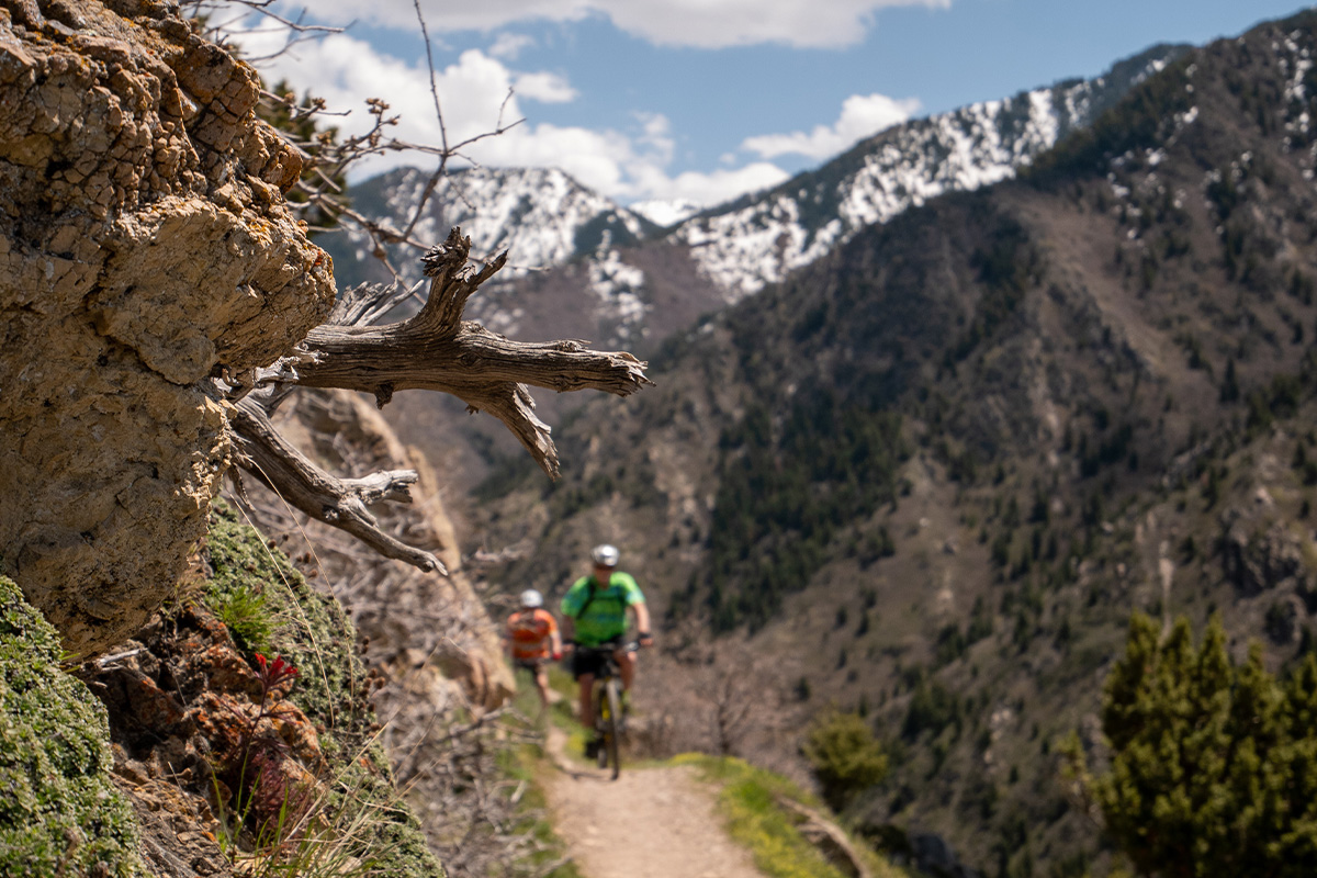
The Rattlesnake Gulch is in Eldorado Canyon State Park, a quick 20-minute drive from Boulder. This moderately difficult hike covers 2.5 to 4 miles (depending on the route) and takes you past the Crags Hotels ruins (built in 1908) before reaching the Continental Divide Overlook. The Rattlesnake Gulch trail treats you to many unique features, including the canyon itself, cliff shallows, cliff-top views, and waterfalls.
Difficulty: Moderate
Cost: $8 (parking fees)
Flatiron Vista
Flatiron Vista makes for a perfect hike for those who want to explore the Flatirons- Boulder’s most iconic landmark. This is an easy-to-moderate trail south of Boulder on Highway 93. The trailhead car park is at the junctions of Highways 93 and 128. This loop trail leads 3.3 miles through meadows and ponderosa pines while offering incredible views of the Flatirons from various angles.
Difficulty: Easy to Moderate
Cost: $5 parking fee
Lost Lake Hike
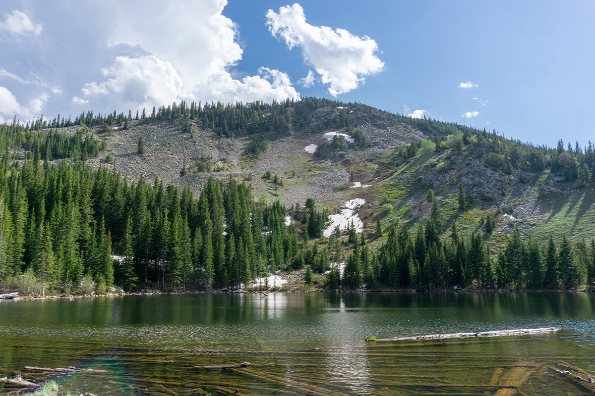
Lost Lake Hike is no longer lost, thanks to its setting that offers iconic views without much work. Four miles long, Lost Lake Hike meanders through aspen groves and pine forests, past an old log cabin and two waterfalls before descending to Lost Lake. The warm water of Lost Lake offers a place to cool off as you enjoy the iconic views of the Indian Peaks surrounding it. This easy-to-moderate hike is located 22.5 miles from Boulder near Nederland.
Difficulty: Easy to Moderate
Cost: $8 (parking fee)
Flagstaff Realization Point
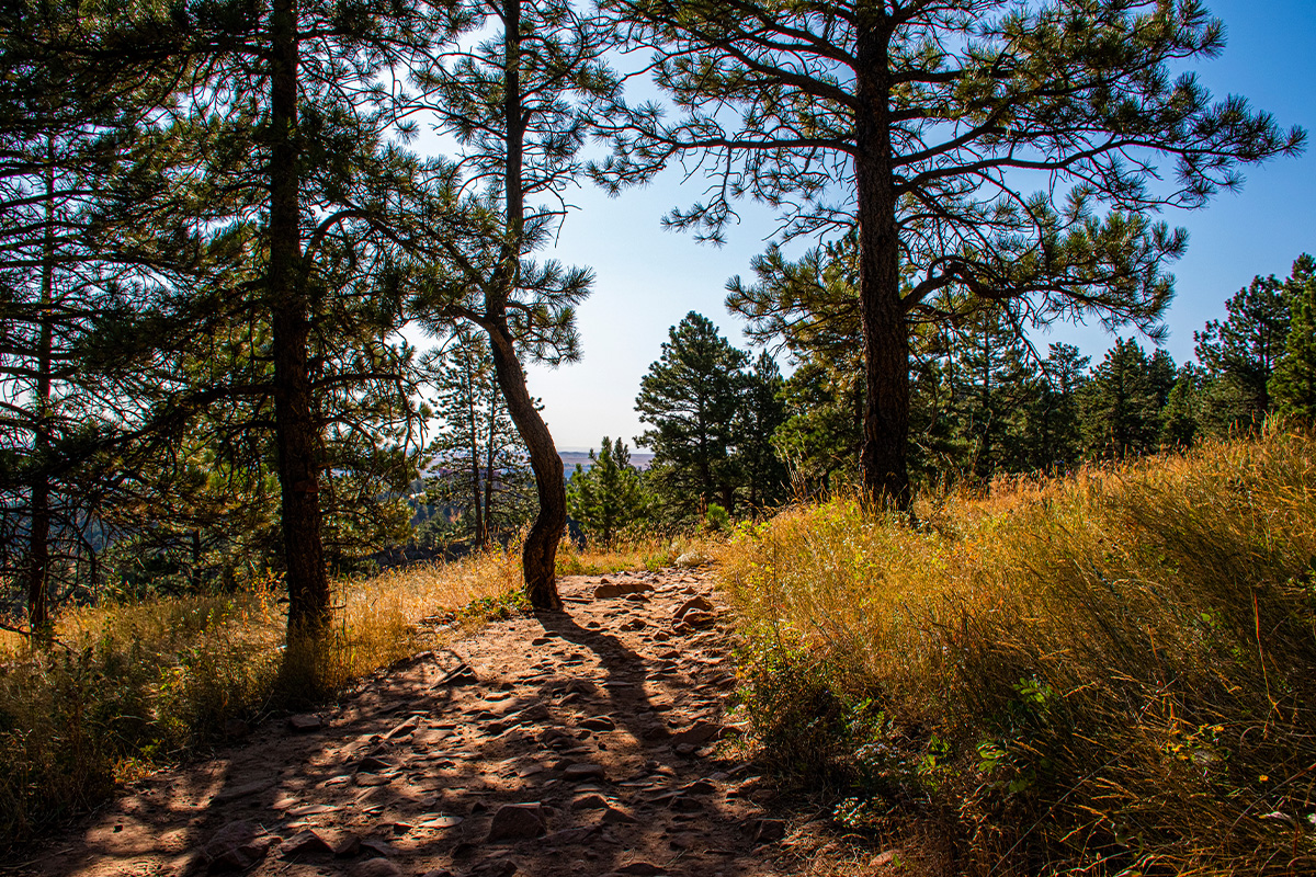
Realization Point is where you find some of the best Boulder, Colorado hiking trails for views, including Chapman Drive, Tenderfoot, Gregory Canyon, Range View, and Long Canyon. Realization Point is a mere five miles from Boulder.
Difficulty: Easy to Moderate
Cost: $5 car park fees for non-Boulder residents.
Tenderfoot Trail
Tenderfoot is a beautiful Boulder trail that extends from Realization Point on the western side of Flagstaff Mountain. This is considered a quick and easy route. It’s 1.6 miles (out-and-back) and takes around 45 minutes to complete. But its wide and beautiful views make it a great way of introducing young and novice hikers to foothill trails. Tenderfoot trail starts at Realization Point- five miles from Boulder.
Difficulty: Easy
Cost: $5 parking fee
Chautauqua Park
When in Boulder, Chautauqua Park is a great spot if you want to get views of the jagged Flatirons without hiking. However, doing the 3.6-mile Chautauqua Trail hike from the park to the base of the foothills is highly recommended if you want to get close-up and personal views of these sandstone rocks. Chautauqua Park is located a few minutes from downtown Boulder along Baseline Road.
Difficulty: Moderate
Cost: $2.50/hour parking fee (8 AM to 5 PM)
Red Rocks Trail
Don't confuse it with Denver's Red Rocks. Red Rocks trail in Boulder connects with nearby trails to loop around the Red Rock fins. The Red Rock fins are the main feature of this 1-mile-long trail. But this low hill also offers impressive views of downtown Boulder, Sunshine Canyon, Mount Sanitas, and the Royal Arch trail on Green Mountain.
Red Rocks trailhead is less than two miles from Boulder city center. It starts at Centennial Trailhead and ends at the People's Crossing.
Difficulty: Moderate
Cost: Free
National Center for Atmospheric Research (NCAR)
This is one of the best hikes near Boulder if you're bringing your furry friend. It travels west from the National Center for Atmospheric Research building and offers splendid views of the Flatirons, valleys, and a mesa before joining the Mesa trail. It's 3.4 miles long (loop) and is rated moderate.
Difficulty: Moderate
Cost: Free
Mesa Trail
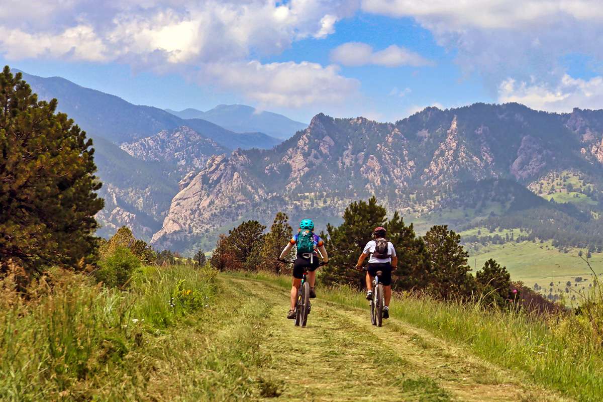
Mesa Trail is for more ambitious hikers interested in a long, hilly hike. This trail winds through forests, meadows, and beneath the Flatirons. So, expect varied terrain and a lot of great views to be on offer. The Mesa Trail is 13.2 miles (out and back) and connects with nearly all other trails in this canyon.
Difficulty: Challenging
Cost: $5 parking fee
Boulder Falls
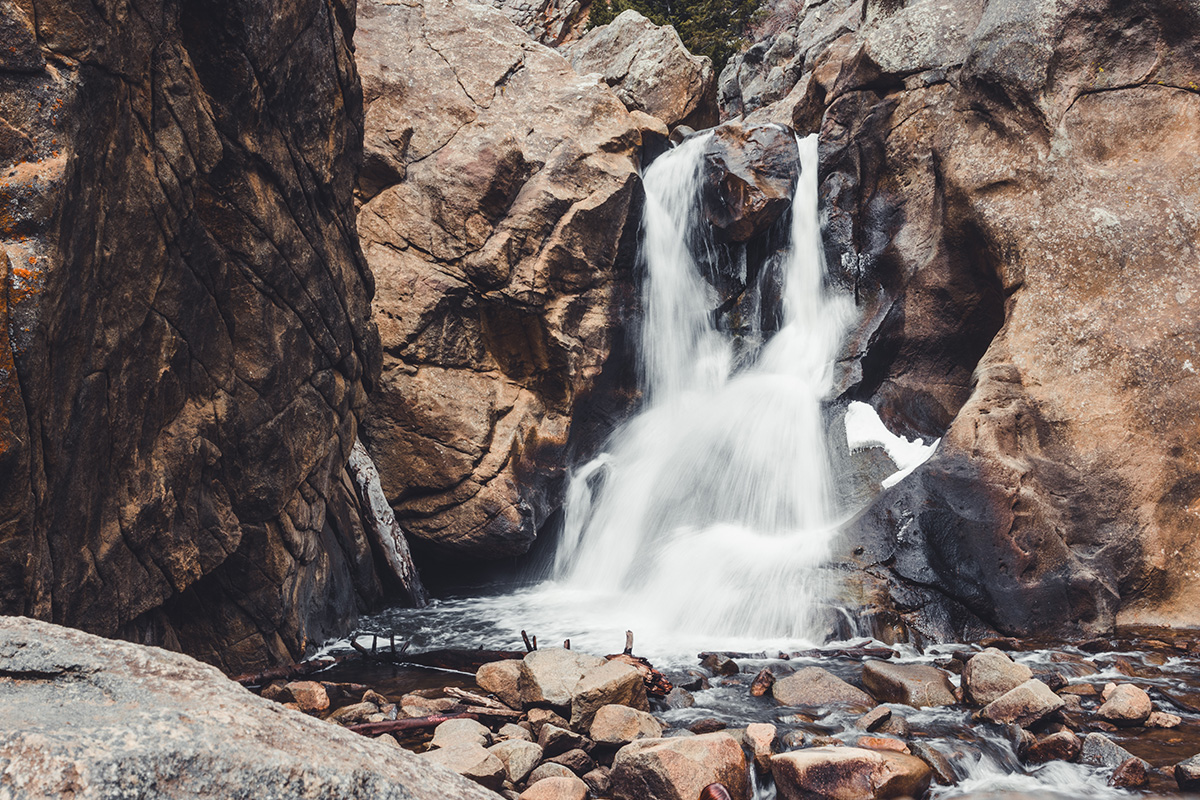
Hiking the Boulder Falls trail is a must when driving along Boulder Canyon Drive. This is a short and easy hike (merely 300 feet from the parking lot) that leads to Boulder Falls. Boulder Falls is only 70 feet tall, but its cool mist on a hot day and the sound of the rushing water make it one of the best waterfalls in Boulder. The parking for the Boulder Falls trail is roughly 9 miles from downtown Boulder, Colorado.
Difficulty: Easy
Cost: Free
Mallory Cave
Another local favorite, the Mallory Cave, is another relatively short and moderate hike with a big reward. This 2.8-mile hike off the Mesa Trail and NCAR Trail junctions takes you past Boulder's iconic Flatirons and golden meadows before terminating at a hidden bat cave in Chautauqua Park. Mallory Cave trail is around 5 miles from downtown Boulder, Colorado.
Difficulty: Moderate
Cost: Free
Bald Mountain Trail
This will be one of your best hiking trails in Boulder, Colorado, especially if summiting a mountain is on your bucket list. The Bald Mountain Trail loop covers around five miles as it snakes through an evergreen forest. At the peak, you're rewarded with 360-degree views of the Great Plains and the Continental Divide. The parking lot for the Bald Mountain Trail is located at 4795 Sunshine Canyon Drive, approximately 5.8 miles from Boulder, Colorado.
Difficulty: Moderate
Cost: Parking fee
Emerald Lake Hike
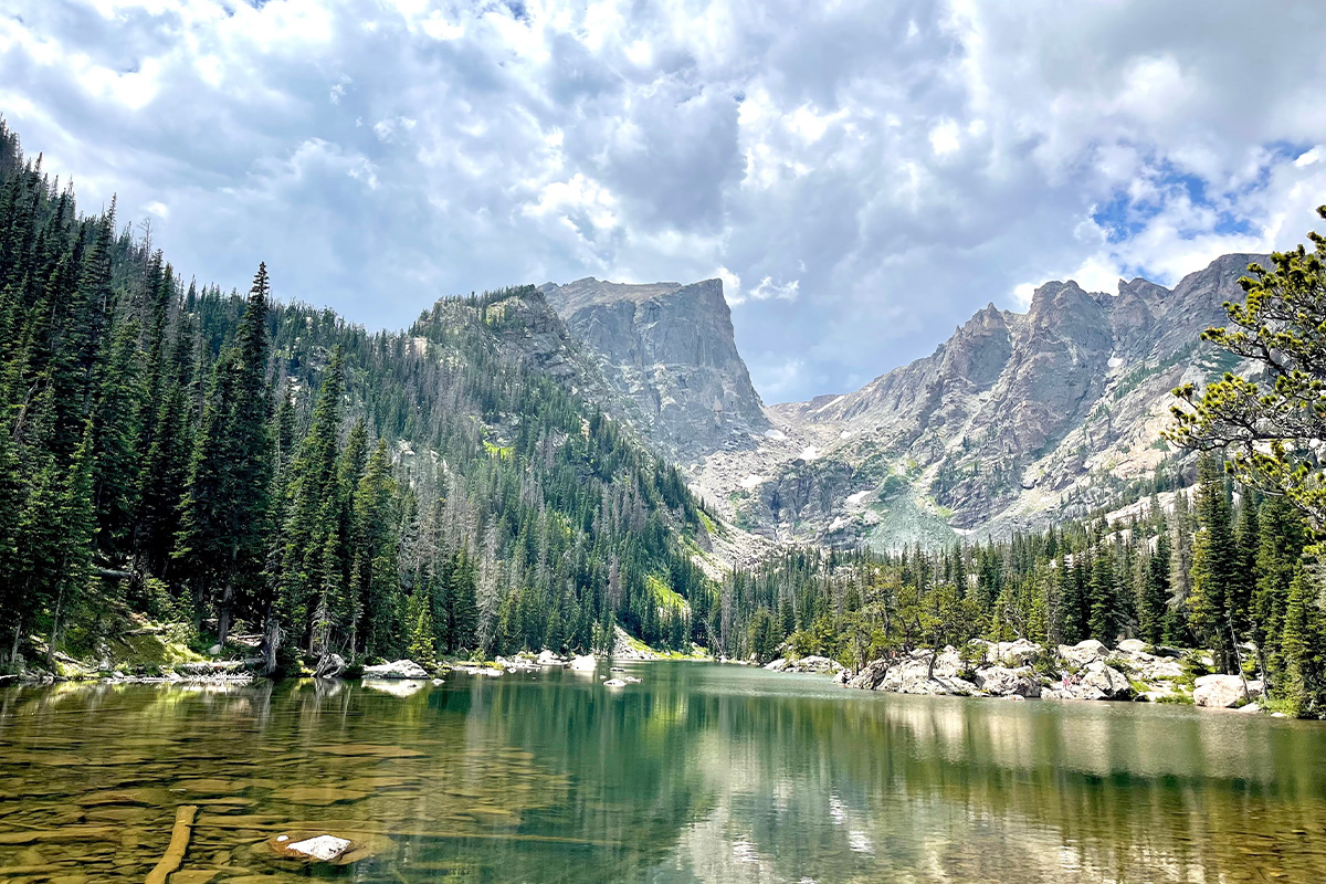
Emerald Lake is among the best hikes near Boulder, Colorado, if you want to see more of this county's beauty. This hiking Boulder trail lets you explore four lakes inside Rocky Mountain National Park: Bear Lake, Nymph Lake, Dream Lake, and Emerald Lake. The views along the trail and around the lakes are simply outstanding. This 3.6-mile (round-trip) hike starts at the Bear Lake trailhead, which is roughly 51 miles from Boulder via US-36 W.
Difficulty: Moderate
Cost: $20/vehicle (valid for seven days)
Psst! If you're interested in what else the park has to offer, make sure to read our guide on what to do and see in Rocky Mountain National Park.
More Difficult Hikes in Boulder, Colorado
Royal Arch Trail
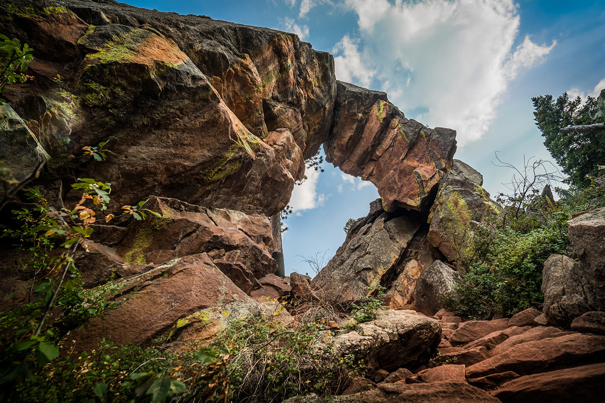
This is one hike you must do if you are looking for the most challenging hiking trails in Boulder, Colorado. Despite its upper intermediate to difficult rating, Royal Arch is heavily trafficked. Consider hiking it on a weekday or early in the morning. The 3.5-mile round-trip from the Chautauqua Park Trailhead to the hardened sandstone arch is a serious workout. But the views of downtown Boulder and the Flatirons from the natural arch are among the best.
Difficulty: Hard
Cost: $20/vehicle (valid for seven days)
Eldorado Canyon Trail
Accomplished athletes consider this one of the best hikes in Boulder, Colorado. The beauty of Eldorado Canyon Trail is that it packs everything that entails a day amongst Colorado’s nature- sun, shade, wildlife viewing, canyon views, and stunning rock formations. Eldorado Canyon Trail is 3.25 miles long (one-way). It starts at Eldorado Canyon Trail Park, just a 20-minute drive from Boulder.
Difficulty: Hard
Cost: $8/car
Bear Peak Trail
Bear Peak Trail is the perfect mix of a great workout and incredible vistas. As the name suggests, this trail takes you to the top of Bear Peak, Boulder’s second-highest peak. The rugged trail consists of seemingly unending switchbacks, steep segments, and stone stairs, making for one of the most challenging hikes near Boulder, CO. Bear Peak Trail is 8.2 miles long (out-and-back) and takes 4-5 hours to complete. Access to Bear Peak Trail is via the South Mesa Trailhead, about 20 minutes south of Boulder.
Difficulty: Hard
Cost: $8
South Boulder Peak Trail
This trail summits Boulder’s highest summit at 8549 feet, so expect serious feet-burning! But saying that the 360-degree views atop the peak are stunning is a severe understatement. Plus, it’s not as crowded as its neighbors, including Bear Peak and Green Mountain. South Boulder Peak Trail is 7.4 miles long (round trip) and starts at the South Mesa Trailhead along Eldorado Springs Drive (20 minutes from Boulder).
Difficulty: Hard
Cost: $8
Mount Sanitas Peak Trail
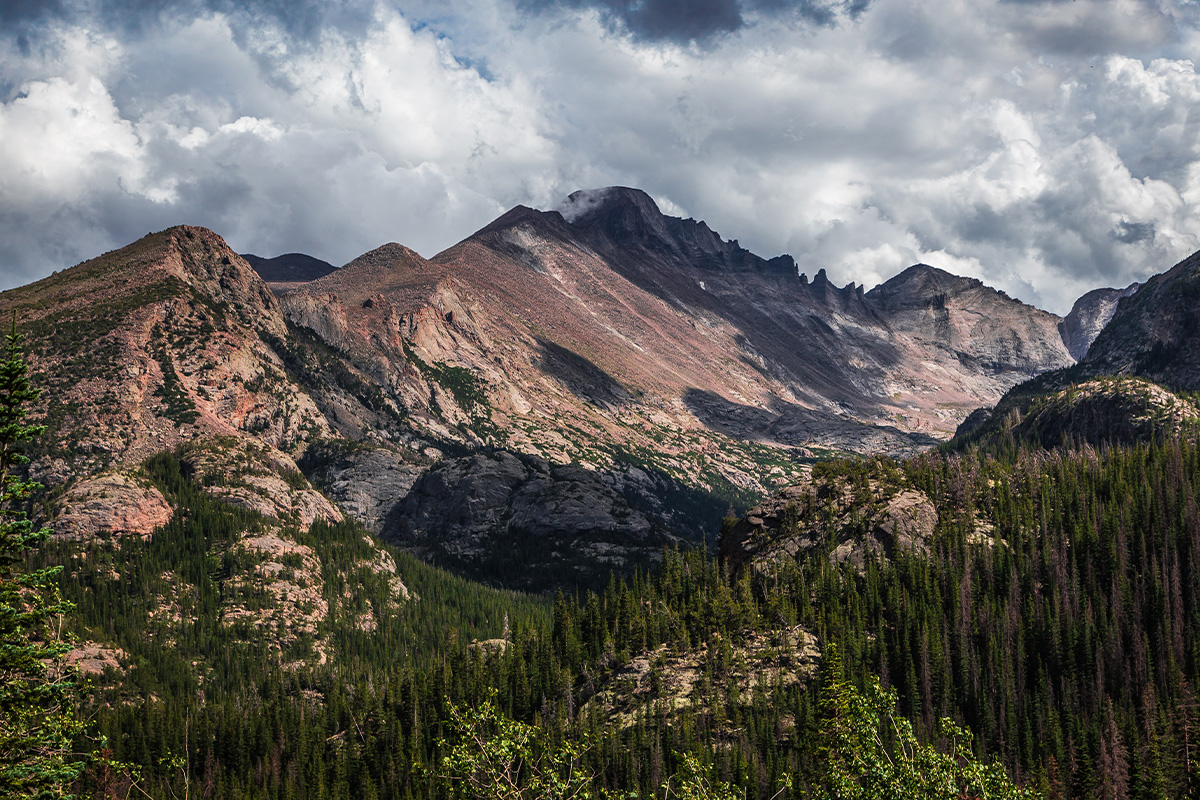
Mount Sanitas is one of the most popular Boulder, CO hiking trails. While it’s only about 3.2 miles (round trip), its 1323-foot elevation gain makes it quite a challenge for your lungs and legs. The reward for conquering it is unobstructed views of Boulder and Colorado’s Front Range. Mount Sanitas Peak Trailhead is barely two miles from Boulder off Sunshine Canyon Drive.
Difficulty: Hard
Cost: Free
Flatirons Loop Trail
At 2.9 miles, Flatirons Loop is shorter than other challenging trails in Boulder, Colorado. However, this is one of the best hikes for hikers with an insatiable appetite for Boulder’s landscapes. The beautiful hike leads through a dense pine forest, open meadows, rock falls, and switchbacks. Ultimately, you enjoy stunning 360-degree views of downtown Denver, the natural rock amphitheater, and the Flatirons. Flatirons Loop Trails is accessed via Chautauqua Trailhead, just two miles from Boulder.
Difficulty: Hard
Cost: $5
Final Thoughts
Boulder, Colorado, is a hiker’s paradise, especially in Spring and Fall when the temperature is just perfect and the hiking routes are lush and green. From easy to “hearty moderate” and hard, gain bragging rights by doing the best hiking trails in Boulder, CO.
Looking for more trails? Check out 11 more hikes at Boulder, CO!
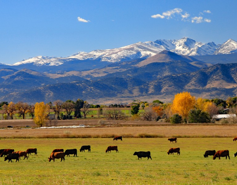
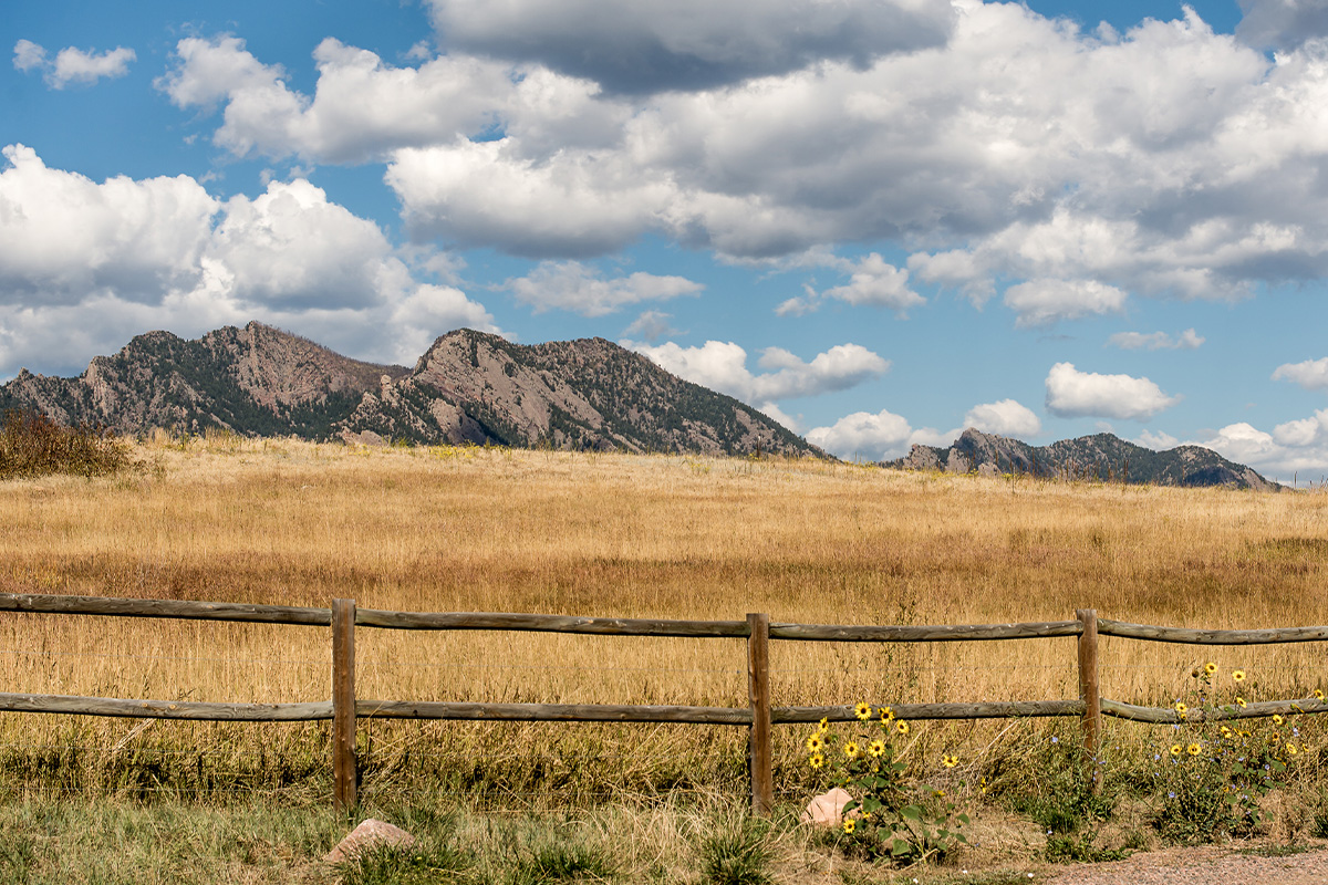
Cattle ranch, Boulder by: Jim Glab.
FAQs
How many hiking trails are in Boulder?
Boulder County, Colorado, boasts over 300 miles of hiking trails ranging from easy to moderate and difficult.
What is the best time of year to hike in Boulder?
The best time for hiking in Boulder, Colorado, is between March and May and again from September to November. The temperature is bearable, and most of the trails are shaded.
Is it safe to hike in Boulder alone?
It’s okay to hike Boulder, Colorado trails alone. But you’re golden if you have a hiking buddy or group.
Will I get altitude sickness in Boulder?
Boulder, Colorado, is 5,430 feet above sea level. You may experience mild altitude sickness if you are coming from low-altitude areas.
Can you swim in Boulder Falls?
Swimming is not allowed in Boulder Falls. But its refreshing mist and beautiful setting make it a good picnic spot.


