The Greatest Mountain: Part I
Table of Contents [Show]
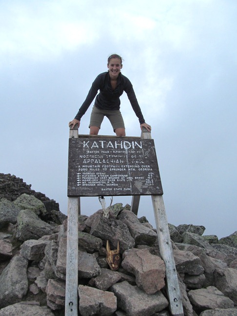
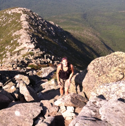
Many scoff at Mount Katahdin, calling its summit unimpressive at only 5,270 feet. But when you start at 1,000 feet and gain more than 4,000 feet in just a few short miles, it’s no walk in the park. And those who mock the mountain are first to eat their words as Maine's famously rocky and difficult terrain reduces even the fittest hiker to a humbling two m.p.h. pace. Named by the Penobscot Indians and meaning "The Greatest Mountain," Mount Katahdin was forever immortalized by Thoreau and occupies a well-deserved spot as one of America’s natural treasures. Sitting just shy of a mile high, Baxter Peak is the highest point in Maine and the northern terminus of the Appalachian Trail. With deep forests, tumbling waterfalls, rock staircases, boulder scrambles, alpine tableland, and stunning views, climbing Katahdin is the quintessential hiking experience. Challenge accepted! My husband and I hiked to Baxter Peak in 2010 and were excited to tackle a different route this year.
Trail Report: Baxter Peak via Hunt Trail
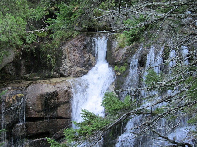
The trails to Katahdin are so popular the parking lots are often full before 6:30 a.m. Make an advance reservation to guarantee a spot, but don't be late! Permits are only guaranteed until 7:05 a.m. Arrive late, and your spot has already been forfeited to a waiting car. With that in mind, we set our alarms for 5:45. With the sun just rising over the mountain, we loaded our daypacks with water, granola bars, PB&J sandwiches, and Oreos, Double Stuft of course! With warm weather in the forecast, I pulled on my KÜHL travel shorts and a women's tank. I would be grateful for the short's longer length and four-way stretch (full review) later in the day when we started scrambling up and down the tougher sections of the trail. We arrived at the entrance gate at 6:30 and continued on the park road to Katahdin Stream Campground. We signed the trail register at 7:05 and set off on the Hunt Trail (also the Appalachian Trail). The Hunt Trail is one of the most popular routes up Katahdin, and it serves as the last 5.2 miles for AT thru-hikers completing the epic 2,220-mile trek from Georgia. The trail starts as a gradual climb through dense forest, crossing Katahdin Stream on a wooden footbridge and reaching the 50-foot Katahdin Stream Falls at 1.2 miles. We easily covered this stretch in just over 20 minutes. That was the fastest we’d be moving all day.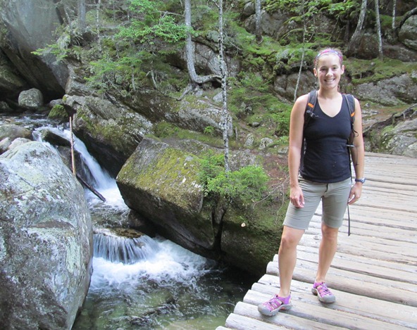
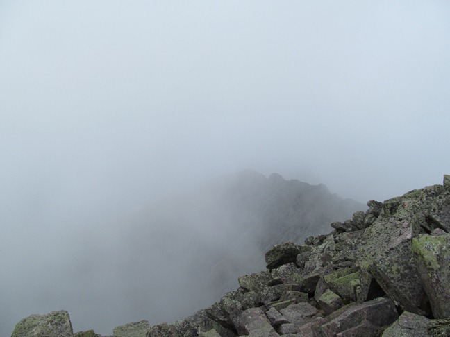
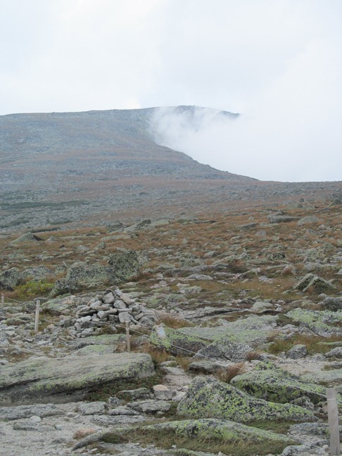
Sometimes it seemed as if the summit would be cleared in a few moments, and smile in sunshine: but what was gained on one side was lost on another. It was like sitting in a chimney and waiting for the smoke to blow away. It was, in fact, a cloud-factory, — these were the cloud-works, and the wind turned them off done from the cool, bare rocks. Occasionally, when the windy columns broke in to me, I caught sight of a dark, damp crag to the right or left; the mist driving ceaselessly between it and me.
~Henry David Thoreau, The Maine Woods
After chatting with a thru-hiker and snapping pics with the famous sign, we headed back.