Trail Report: Naches Loop Trail
Table of Contents [Show]
Naches Loop Trail: Short and Oh So Sweet
Mt. Rainier National Park is home to many wonderful hiking trails. We’ve hiked, camped, and explored all parts of the park, but we’ve yet to make a dent in all available options.
Known for its many meadows, waterfalls, wildflowers, wildlife, and spectacular views of Mt. Rainier, the Naches Loop Trail had always intrigued us. We finally made it out there one Monday evening, and now we know why it gets rave reviews.
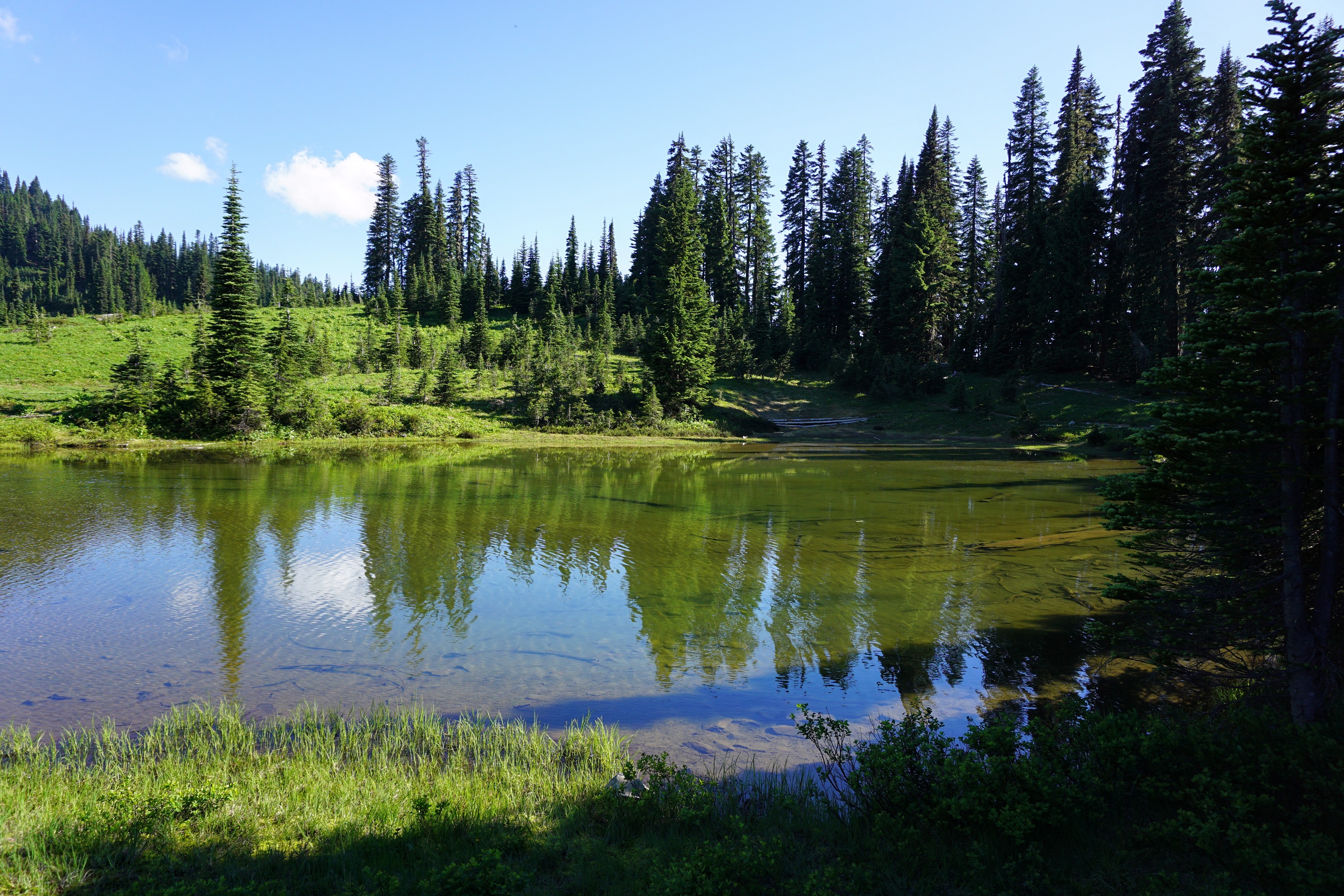
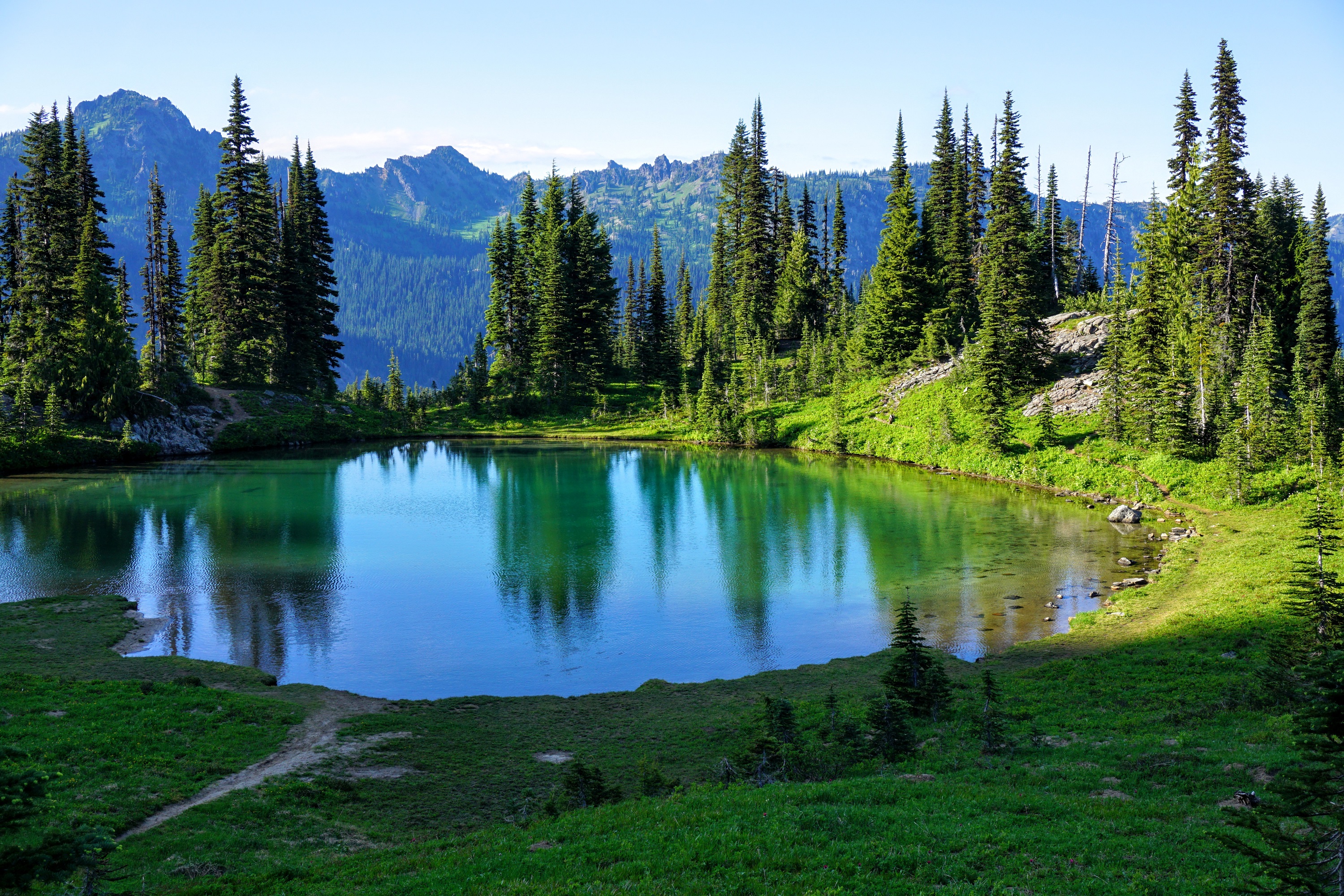
The hike begins at Tipsoo Lake, an alpine lake within the park’s borders located at the summit of Chinook Pass. The crystal clear, green-tinted water reflects the trees and flowers surrounding it. If you’re not up for the full Naches Loop Trail, you can simply enjoy the much shorter option which circles this lake. The area is located in open meadows with blooming wildflowers and views of nearby peaks. It’s a popular destination for photographers.
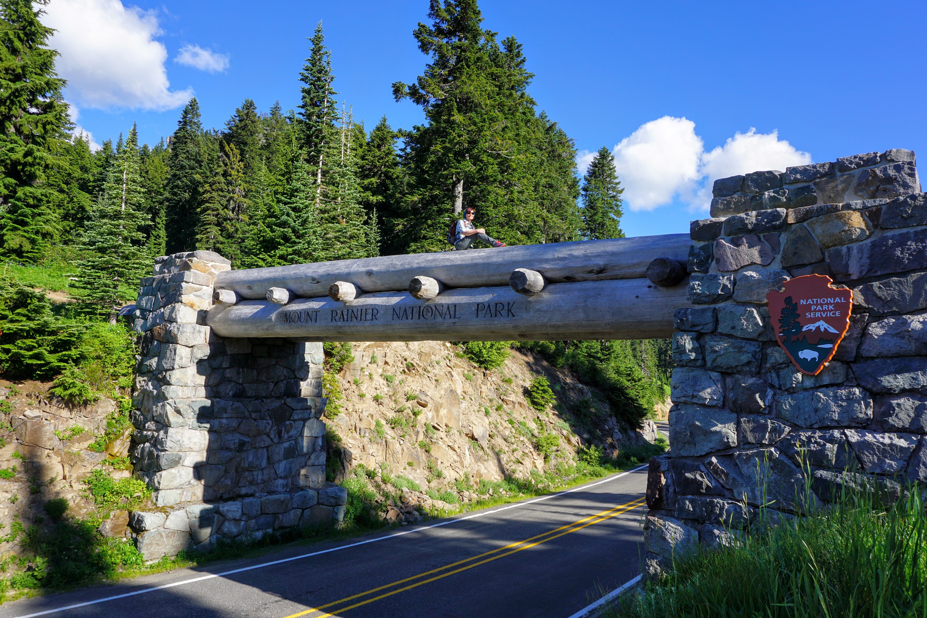
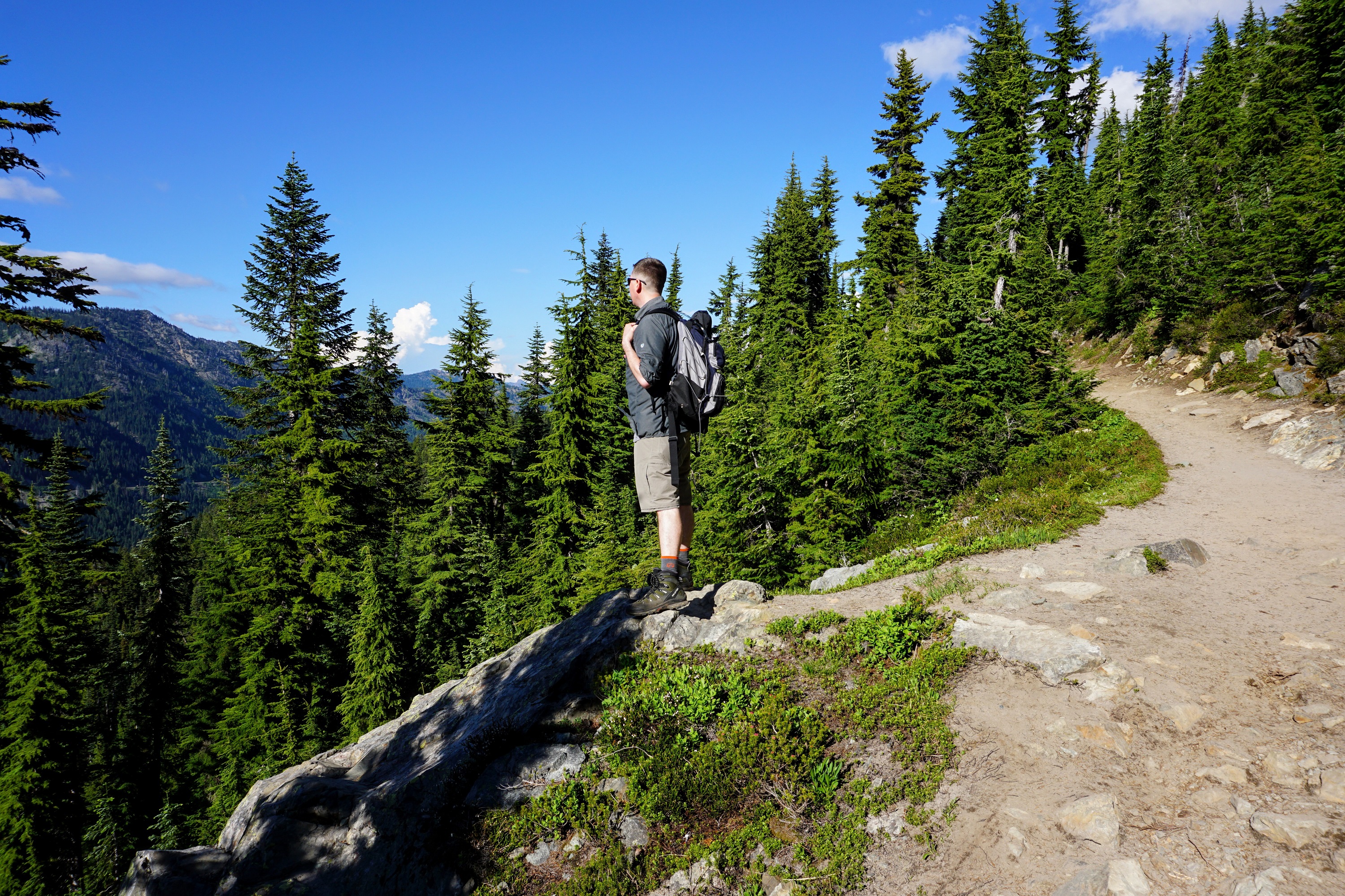
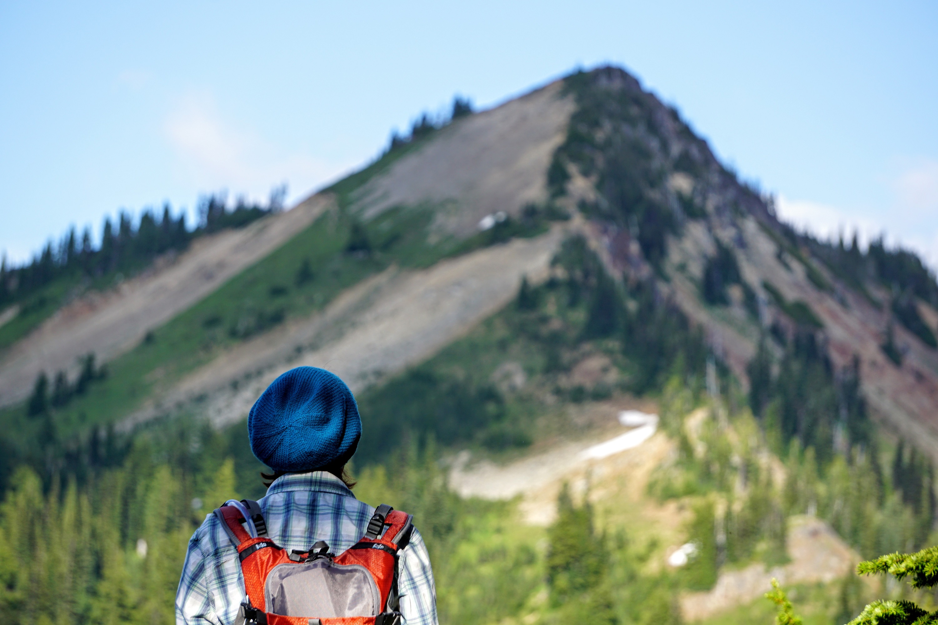
We opted to take a clockwise route around Naches Peak for a more gradual elevation gain. About a quarter of a mile in we crossed a wooden bridge that spans the highway. It's a great photo opportunity because the bridge doubles as the border of the park. Across the bridge, Naches Loop joins the nationally recognized Pacific Crest Trail for the next 1.5 miles.
During this stretch we covered the north and east sides of Naches Peak. Due to the time of evening, the sun would set behind nearby peaks to the west, only to show itself again as we gained elevation. We enjoyed the back and forth sunset for the next hour.
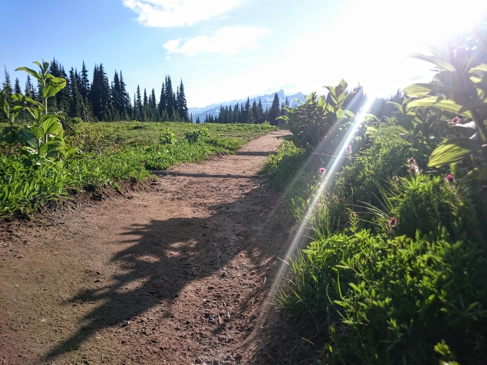
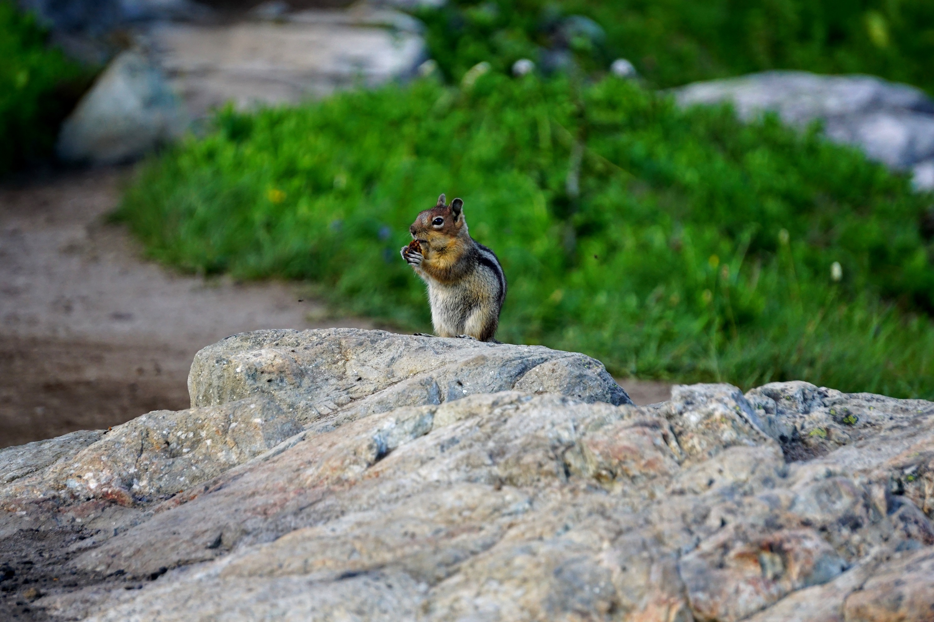
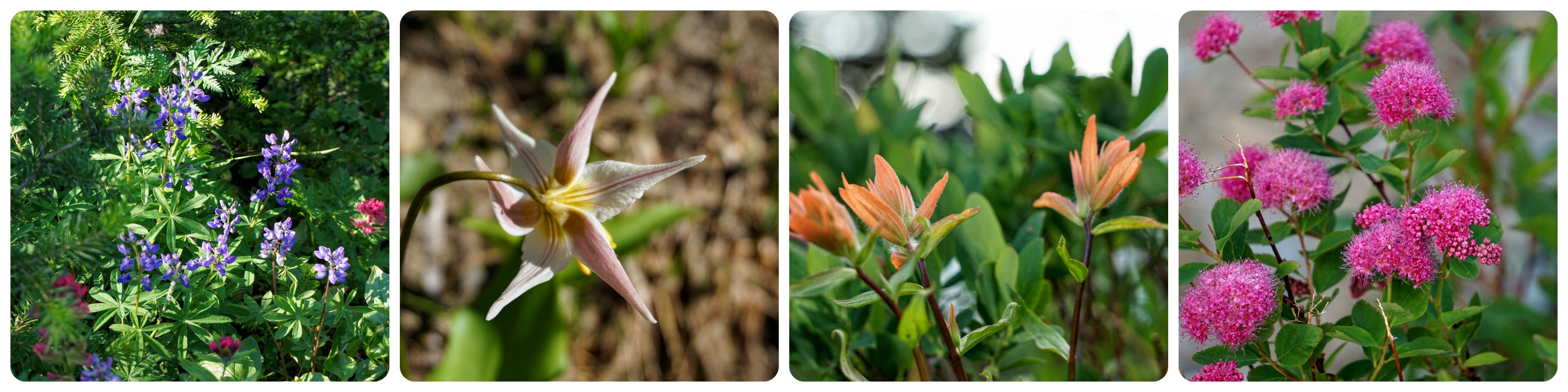
The trail cuts through large open meadows with so many wildflowers and waterfalls. In the distance, way across a meadow, we spotted a deer. We also saw countless birds and chipmunks. The playful, curious chipmunks are so fun to watch and consumed an ample amount of our time.
As we traversed the base of the peak we reached the southeast side and rejoined the Naches Loop Trail. The PCT continues its descent to the south and passes Dewey Lake. We had a wonderful view of this lake and the magnificent Seymour Peak to its west.
Looking south we saw peaks, valleys, and trees stretching far into the distance. This was a very peaceful section of the trail, and we wish we'd brought our hammocks to relax and take in the beauty of nature for a while.
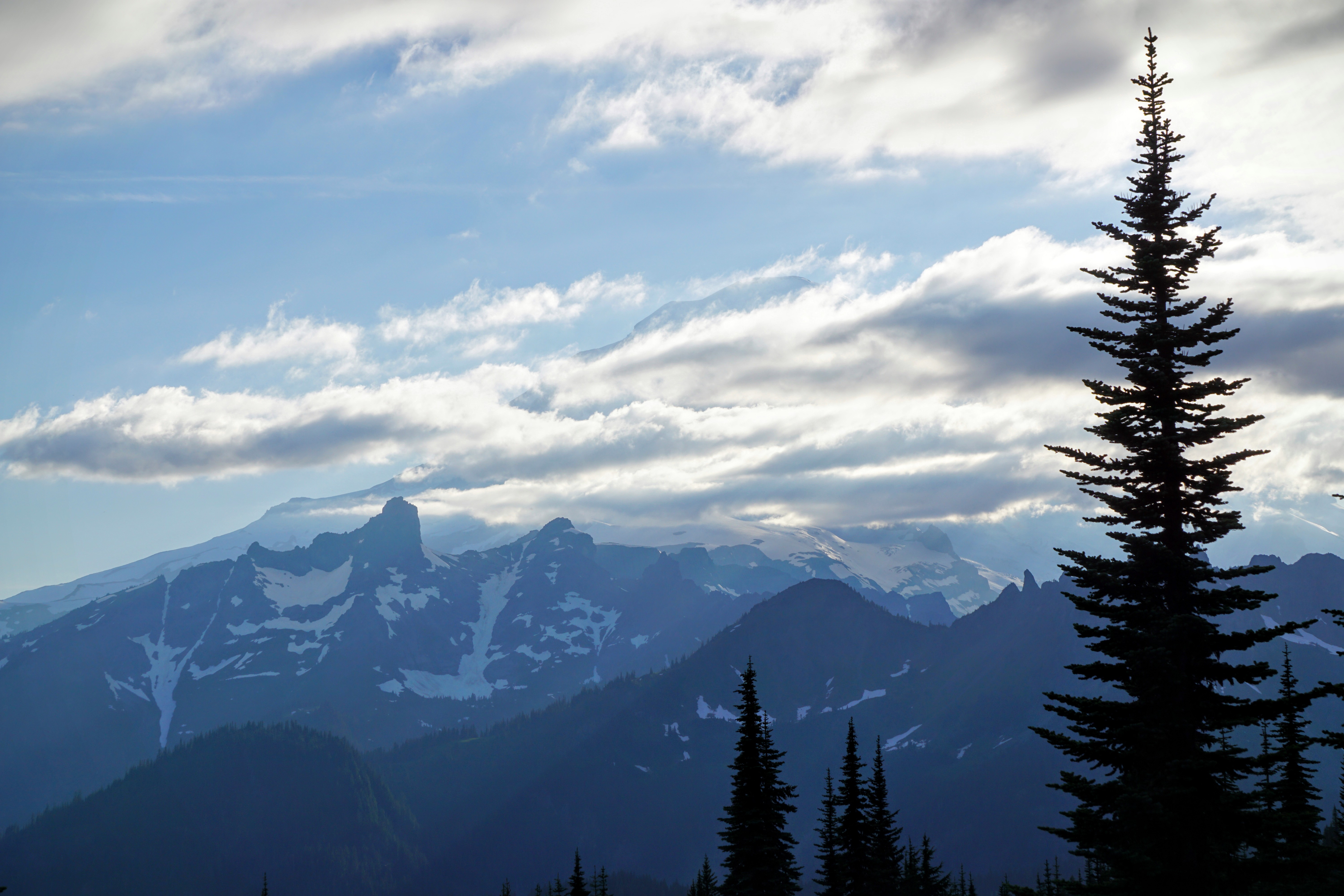
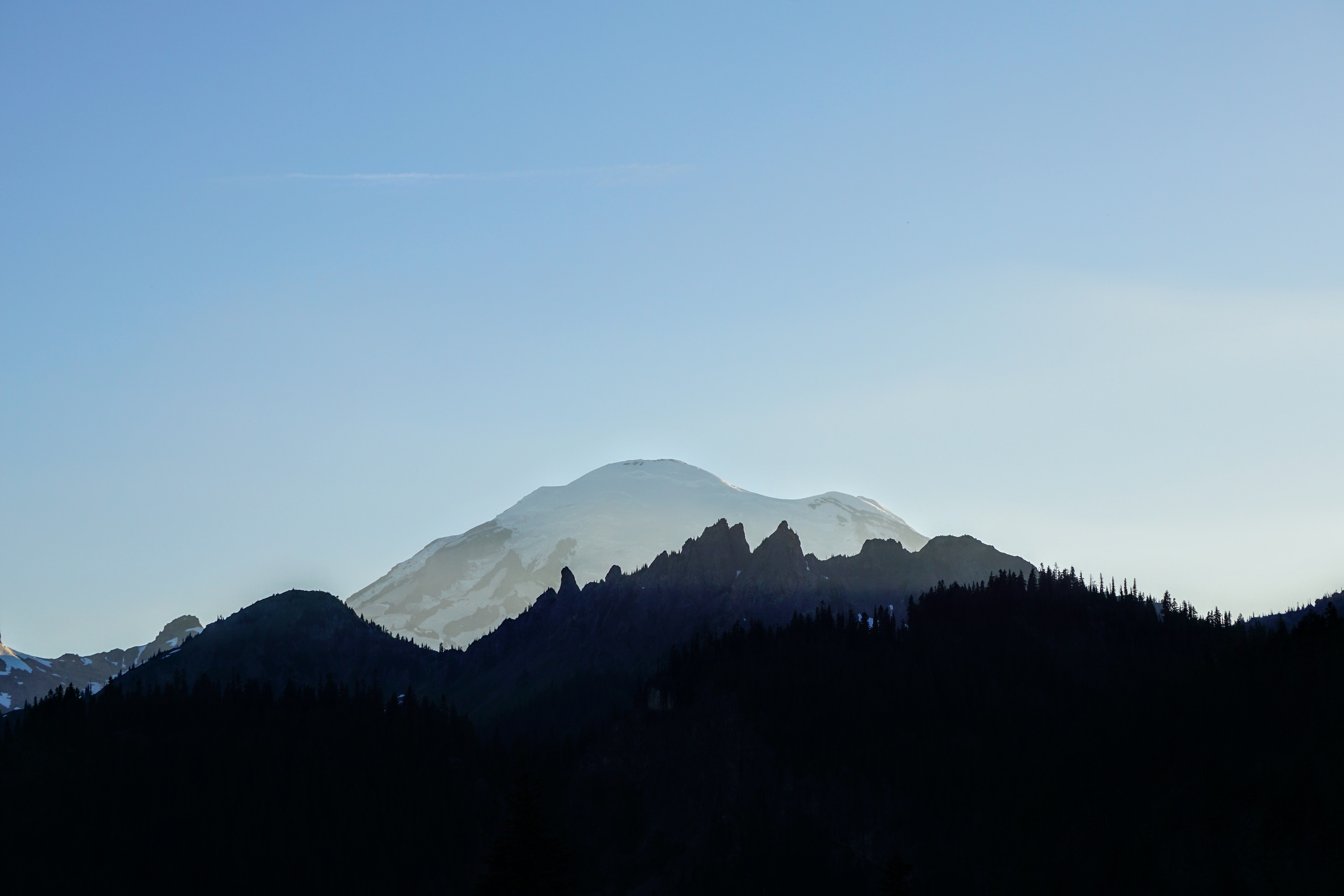
We pressed on and reached two small lakes to our right and the first view of Mt. Rainier straight ahead. Unfortunately, the mountain was obscured in cloud cover, despite being a very sunny day. We were able to spot sections of it from time to time, but a full view was out of the question.
The Naches Loop is an amazing hike for many reasons. At 3.2 miles, the trail isn’t that long. The total elevation gain is only 600’, which is hardly noticeable when taking the clockwise route. The trail head is simple to reach and has a large parking lot with bathrooms.
This hike has moved into our top 5 favorites, and we highly recommend it.
The scenery is some of the best there is! The trail boasts views its entire length. Wildflowers flank much of the path in summer, and there are numerous places to stop and take in the beauty all around.
The only drawback was the number of mosquitoes. Bring your repellent and plenty of it!
As we began our drive home the clouds cleared from the mountain, so we pulled over to capture the moment.
Helpful Links