Ultimate Guide to Fall Trail Running near Salt Lake City
Table of Contents [Show]
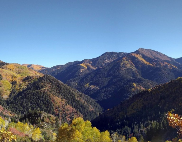
Fall is fleeting in the Wasatch. Blink, and you'll miss the golden season between summer's last sunflowers and winter's first snowfall. As soon as the temperatures start to dip in mid-September, hit the trails for a showcase of Mother Nature's sublime finery. There are endless hikes within an hour of downtown Salt Lake City, but these top picks are a trail runner's dream.
Murdock Peak via Millcreek Canyon
With miles and miles of trails open to bikers, hikers, runners, and their four-legged companions, Millcreek Canyon is a local favorite all year long. For a brief few weeks in autumn, the canyon explodes with color. First, the scrub oaks transform the lower canyon trails in a yellow and orange cloak. As the canyon climbs to higher elevations, golden aspens stand in brilliant contrast to evergreen pines. There's no better trail to experience this green-and-golden mosaic than the out-and-back route to Murdock Peak.
- Distance: Approximately 8 miles roundtrip
- Elevation Gain: 1,940 feet
- Summit Elevation: 9,600 feet
- Dog-friendly: Yes, allowed off-leash in Millcreek Canyon on ODD days; on-leash on EVEN days
- Fees: $5 fee upon exiting Millcreek Canyon
Park at the Big Water Trailhead at the very end of Millcreek Canyon, and follow the signs for Old Red Pine Road. This smooth trail gains elevation gradually, making it extremely runnable. As the trail starts to open up, look back for layers of golden hues.
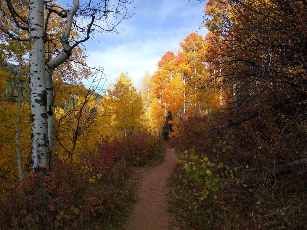
The trail passes through two meadows before merging with the Great Western Trail. Continue following the trail east; stay left when the trail splits and follow to the ridge and Park City overlook.
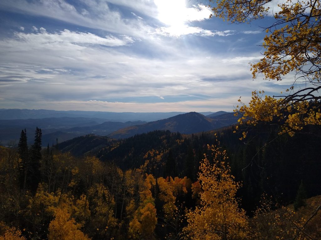
Follow the ridge until you come to an intersection and see the double black diamond ski sign for Murdock Peak to your left. Head up the steep hillside, following the game trails near the ski boundary signs. Once you reach the next ridge, the path to the summit is well defined. Make the final push to Murdock Peak, and enjoy amazing views of the Big Cottonwood Canyon ridgeline to the south.
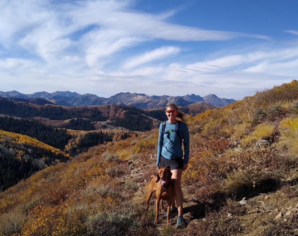
Soak up the scenery, rehydrate and refuel before starting the descent. If you're running with your pup, make sure you have plenty of water to share. The summit can be windy, so carry a light jacket if you plan to stay on the peak for any amount of time.
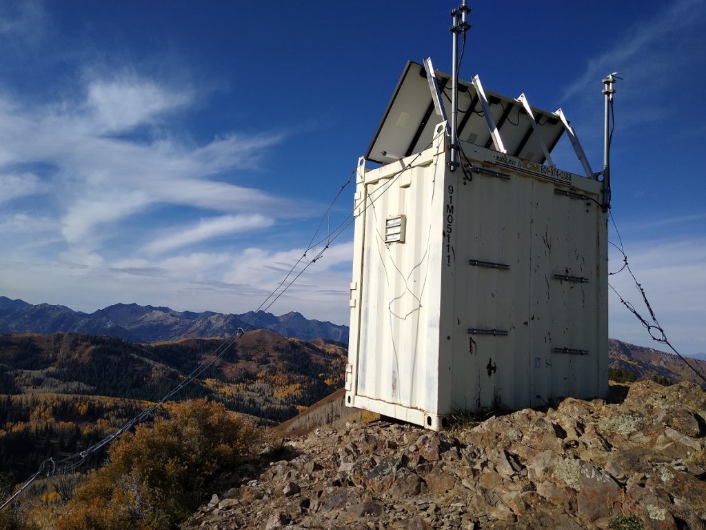
On the way down from the peak, look for a social trail splitting to the right at the intermediate ridge. There's a faster, more gradual trail back to Great Western Trail that bypasses the steep ski run and ridgeline above Park City. At the junction, return on Old Red Pine Road or stay on Great Western all the way back to the parking lot. Out-and-back distance varies, depending on the route, but plan for 7.5-8 miles roundtrip.
Helpful Hint: the winter gate in Millcreek Canyon closes after the first snowfall. Last year I ran to Murdock Peak the first week in October; three weeks later, the first snow of the season blanketed the canyon. Don't miss the opportunity to summit Murdock Peak in fall.
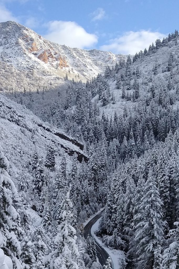
Charlie's 9K Trail, Park City
Following the 9,000-foot contour line above Park City, Charlie's 9K Trail traverses the mountainside for 5.5 miles between Empire Pass and the Blazing Saddle trail at Scott's Pass. Mountain bikers can connect to Park City's extensive trail system at multiple junctions for a full-day of riding. Runners can arrange a shuttle for a point-to-point run, or park at the Empire Pass trailhead for an 11-mile out-and-back.
- Distance: 5.5 miles one-way; multiple loop options on connecting trails
- Elevation Gain: 800 feet climbing, East to West; 1250 feet, West to East
- Highest Point: 9,450 feet
- Dog-friendly: Yes
- Fees: No fees
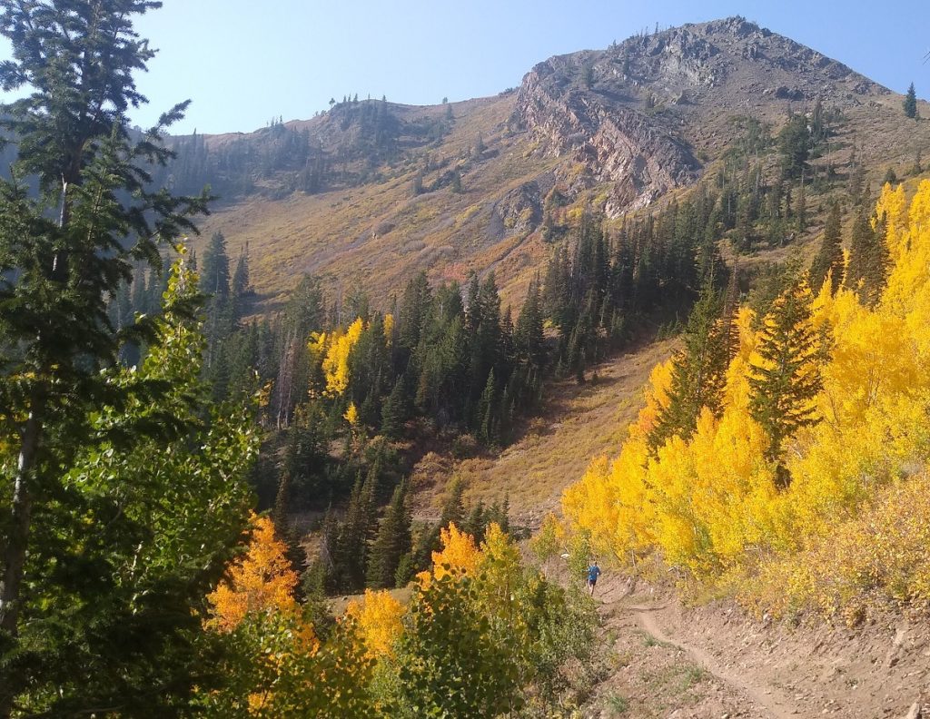
My husband and I took advantage of visiting relatives to arrange a drop-off at the western end of the trail. From Big Cottonwood Canyon Rd, we turned onto Guardsman Pass Rd. At the second hairpin turn, our driver pulled into the small gravel entrance to forest road NF-029. After dropping us off, they meandered along Guardsman Pass for prime leaf peeping before meeting us at the Empire Pass trailhead.
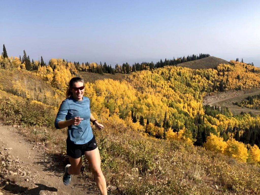
The initial climb up the forest road is a lung burner, but once we reached Scott's Pass and the junction with Charlie's 9K trail, it was rolling single track all the way to Empire Pass. The middle section of the trail has some technical sections, including an impressive stone path through a scree field, but the trail is bookended with smooth, fast single track. The trail crosses open ski runs for incredible views and winds through aspen and evergreen forest. Adding the initial climb to Scott's Pass, our route covered approximately 7 miles.
White Pine Lake, Little Cottonwood Canyon
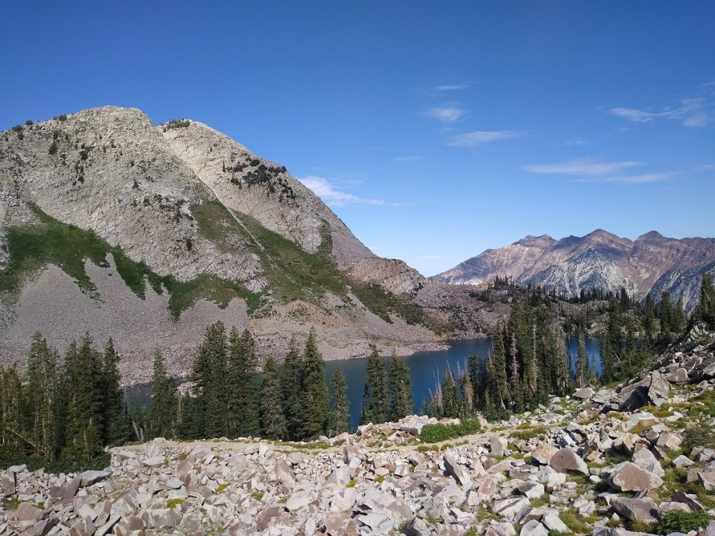
Nestled below several soaring peaks and sitting at 10,200 feet, White Pine Lake in Cottonwood Canyon is the stunning destination of a surprisingly runnable trail. Following an old mining road, the trail is very wide and gradual, gaining 2,500 feet over 5.5 miles. Only accessible from June to October, the trail explodes with wildflowers in summer, while fall brings crisp temperatures and golden views. Start early to beat the crowds and rising sun for solitude and shade.
- Distance: 11 miles round trip
- Elevation Gain: 2,500 feet
- Lake Elevation: 10,200 feet
- Dog-friendly: No, please follow watershed rules in Little Cottonwood Canyon
- Fees: No fees
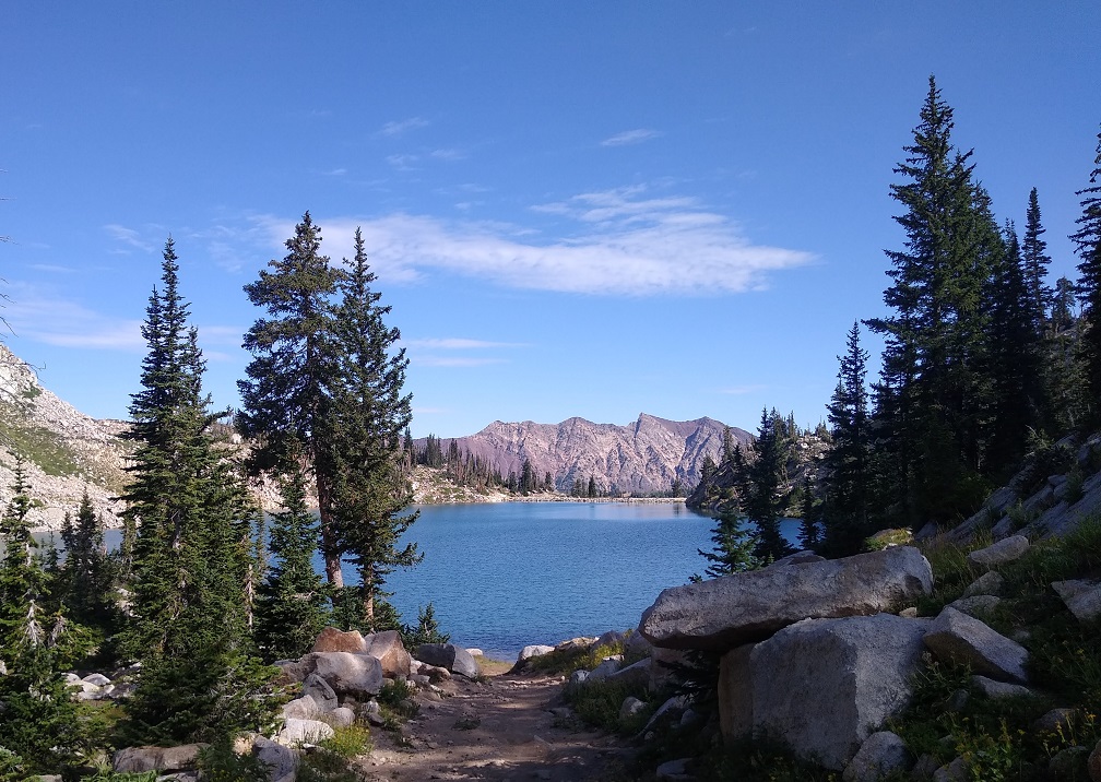
Drive 5.4 miles up Little Cottonwood Canyon Road, and park at the Red Pine/White Pine Lake lot. The trailhead is the same for both destinations and shares the same path for the first mile. The junction is clearly signed; stay left for White Pine Lake.
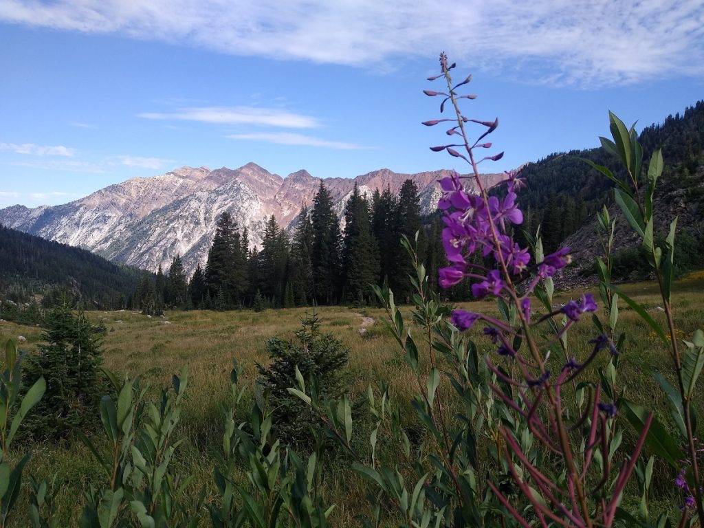
After the junction, the trail begins to climb several long switchbacks. Power hike the rockier sections to save your legs and lungs, and pick up the pace on the flat, smooth sections. As the trail opens up, look back for incredible views.
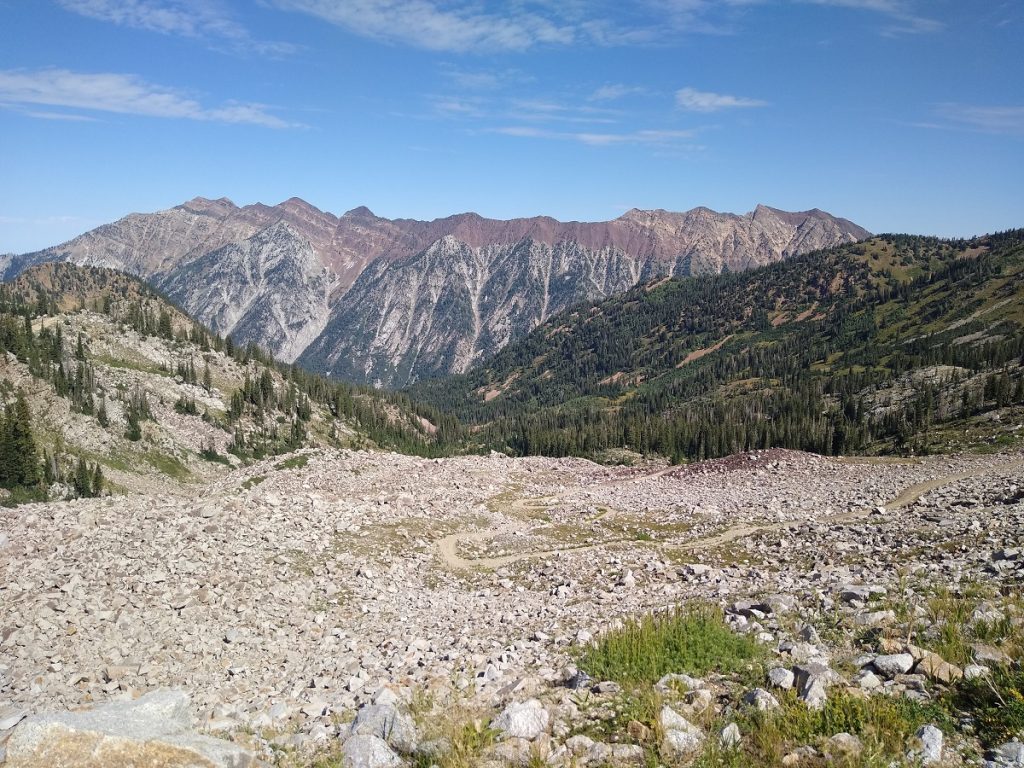
Pass through a meadow before beginning a steep ascent shaded by pine trees. A final series of switchbacks climbs an exposed talus slope to reach the ridge above the lake. The last quarter mile dips down to the lakeshore. Find a quiet spot to relax and take in the views before your descent.
Primrose Cirque Overlook, American Fork Canyon
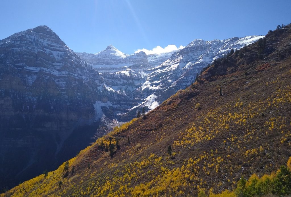
For breathtaking views of the Primrose Cirque, this short loop hike is perfect for a quick run or family-friendly hike through open meadows and large aspen groves. Visit in early to mid-October for prime color and contrast with snow-dusted peaks. The Alpine Loop Road closes at the end of October, or after the first snowfall; avoid heavy traffic by visiting midweek.
- Distance: 3.5-mile lollipop loop
- Elevation Gain: 675 feet
- Highest Point: 8,900 feet
- Dog-friendly: Yes, off-leash
- Fees: $6 for 3-day pass; $12 for 7-day pass; free with America the Beautiful interagency passes
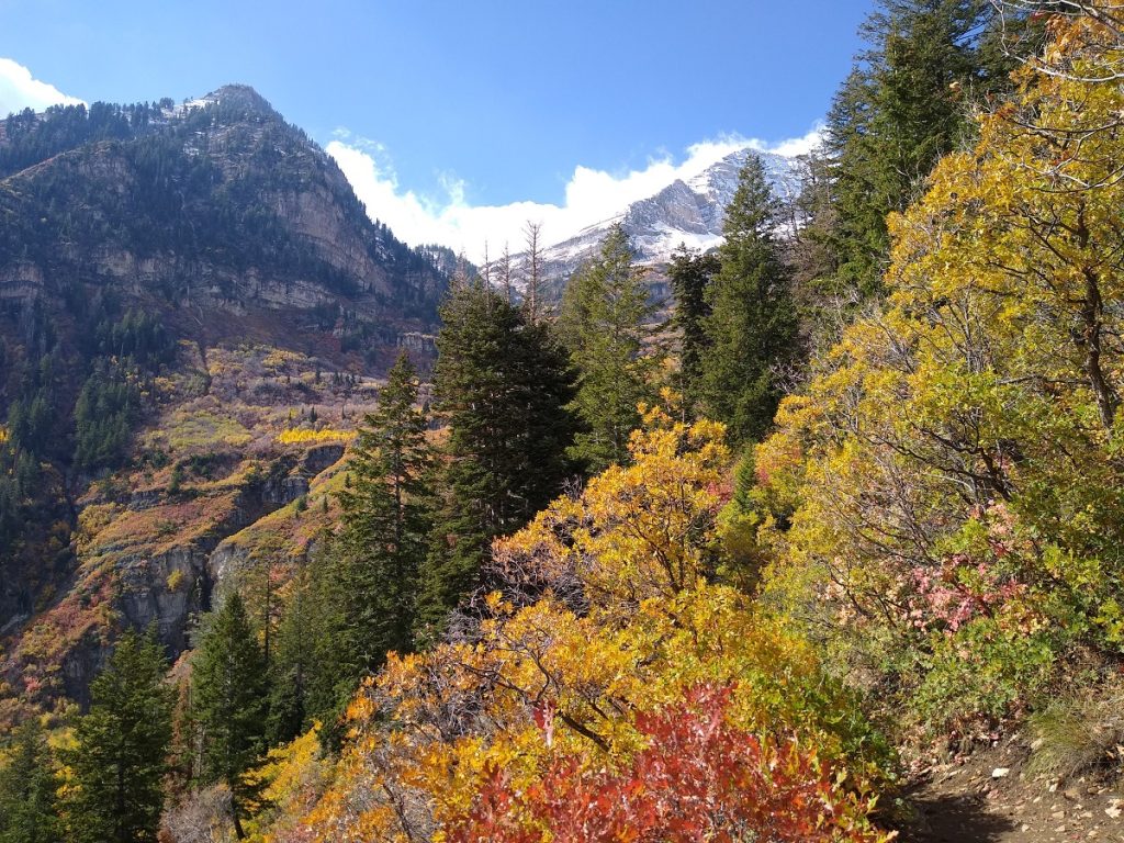
To reach the trailhead, enter American Fork Canyon from either entrance (Lehi or Provo), and drive to the top of the Alpine Loop Road. Park at the Summit Trailhead, and start at the Horse Flat Trail (250).
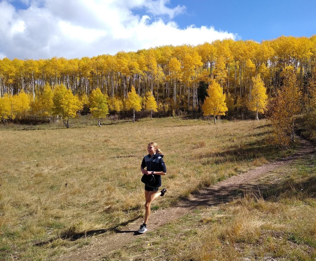
Follow the trail through aspen stands and open meadows to the junction with Primrose Overlook Trail. The last 1/2 mile to the overlook climbs steeply through an aspen grove before reaching the ridgeline. From the overlook, enjoy fantastic views of Primrose Cirque and the east-facing side of Mt. Timpanogos.
When descending from the overlook, bear right at the junction to continue on Horse Flat Trail until it intersects with Lame Horse Trail (055). Turn left on the Lame Horse to complete the loop and return to parking lot.
Nicole's idea of a perfect vacation involves camping, hiking, trail running, SUP and exploring secluded beaches with her husband and two daughters. She writes about travel, raising KÜHL kids and her obsession with outdoor apparel for KÜHL.


