- 1. Key Takeaways
- 2. KÜHL’s Top 15 Hikes In, Near, and Around Denver, Colorado
- 2.1. Red Rocks Park: Trading Post Trail
- 2.2. Mills Lake via the Glacier Gorge Trail
- 2.3. Bluffs Regional Park: Bluffs Loop
- 2.4. Staunton State Park: Staunton Ranch and Bulging Elk Loop Trail
- 2.5. Chautauqua: Boulder Mesa Trail
- 2.6. St. Mary’s Falls
- 2.7. Evergreen Mountain Trail
- 2.8. Waterton Canyon
- 2.9. Rocky Mountain National Park: Emerald Lake
- 2.10. Mount Falcon Castle Trail
- 2.11. Stone Lake
- 2.12. South Platte River Trail
- 2.13. Breckenridge: Mohawk Lakes
- 2.14. Eagle’s View Trail Loop
- 2.15. Mount Elbert
- 3. Preparing the right gear
- 3.1. Footwear
- 3.2. Clothing
- 3.3. Gear
- 4. Final Thoughts
- 5. FAQs
- 5.1. Does Denver have good hiking trails?
- 5.2. What is the easiest mountain to climb near Denver?
- 5.3. What is the best month to hike in Denver?
- 5.4. What mountain town is closest to Denver?
- 5.5. Do you need a license to go hiking in Colorado?
15 Best Hikes Near Denver, Colorado - KÜHL’s Top Picks
Table of Contents [Show]
Fellow explorer,
If you're reading this, chances are you've got a keen itch for the great outdoors and are ready to dive into the majestic wilderness of Colorado. The best hikes near Denver, from the picturesque waterfalls of St. Mary's Falls to the breathtaking Flatiron's view of Boulder's Mesa Trail and the birdwatcher's paradise along the South Platte River Trail, are a hiker's haven waiting to be explored.
But hold your horses! Before we get those boots muddy, let's go through some trail essentials - the right gear, suitable clothing, and, of course, a healthy respect for Mother Nature. Buckle up, my friend. You're in for a thrilling ride through some of Colorado's finest trails and an insider look into how to gear up for these unforgettable journeys.
Yours in adventure,
KÜHL Explorer
Key Takeaways
- Grab a solid pair of hiking boots with good ankle support and grippy soles.
- Layer your clothing and be prepared for all types of weather.
- Always carry a map and compass or reliable GPS.
- Hydration is paramount, especially at higher elevations.
- Start early if you want to avoid the crowd.
KÜHL’s Top 15 Hikes In, Near, and Around Denver, Colorado
Check out this cherry-picked list of the best hiking trails sprinkled in, around, and near the gem of a city we call Denver, Colorado:
Red Rocks Park: Trading Post Trail
Length: 3.6 miles, loop.
Elevation: 500 feet.
Difficulty: Easy.
Trail Map: Trading Post Trail.
Dog Friendly: Yes, on a leash.
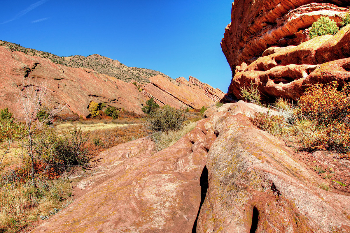
Get ready to experience the charm of Colorado's legendary Red Rocks on the Trading Post Trail. Located in the famous Red Rocks Park, this is the spot where Mother Nature truly shows off.
The Trading Post Trail is an easy-to-moderate loop trail. It's about 1.8 miles long, 3.6 miles round trip, perfect if you're looking for a short but sweet hiking experience. You'll start off at an elevation of approximately 6,200 feet and won't gain much more than 500 feet throughout the hike, making it a super accessible trail for all levels.
The trail is known for its stunning views of the iconic red sandstone formations. Imagine towering red rocks set against the Colorado blue sky – truly a sight to behold. The trail also offers a great view of Denver in the distance.
A couple of things to note: the trail can get quite sunny, so slather on that sunscreen and bring a hat. Also, the trail can be busy, especially during concerts or other events at the nearby amphitheater, so plan accordingly.
Mills Lake via the Glacier Gorge Trail
Length: 9 miles, out-and-back.
Elevation: 700 feet.
Difficulty: Moderate.
Trail Map: Mills Lake via the Glacier Gorge Trail.
Dog Friendly: No.
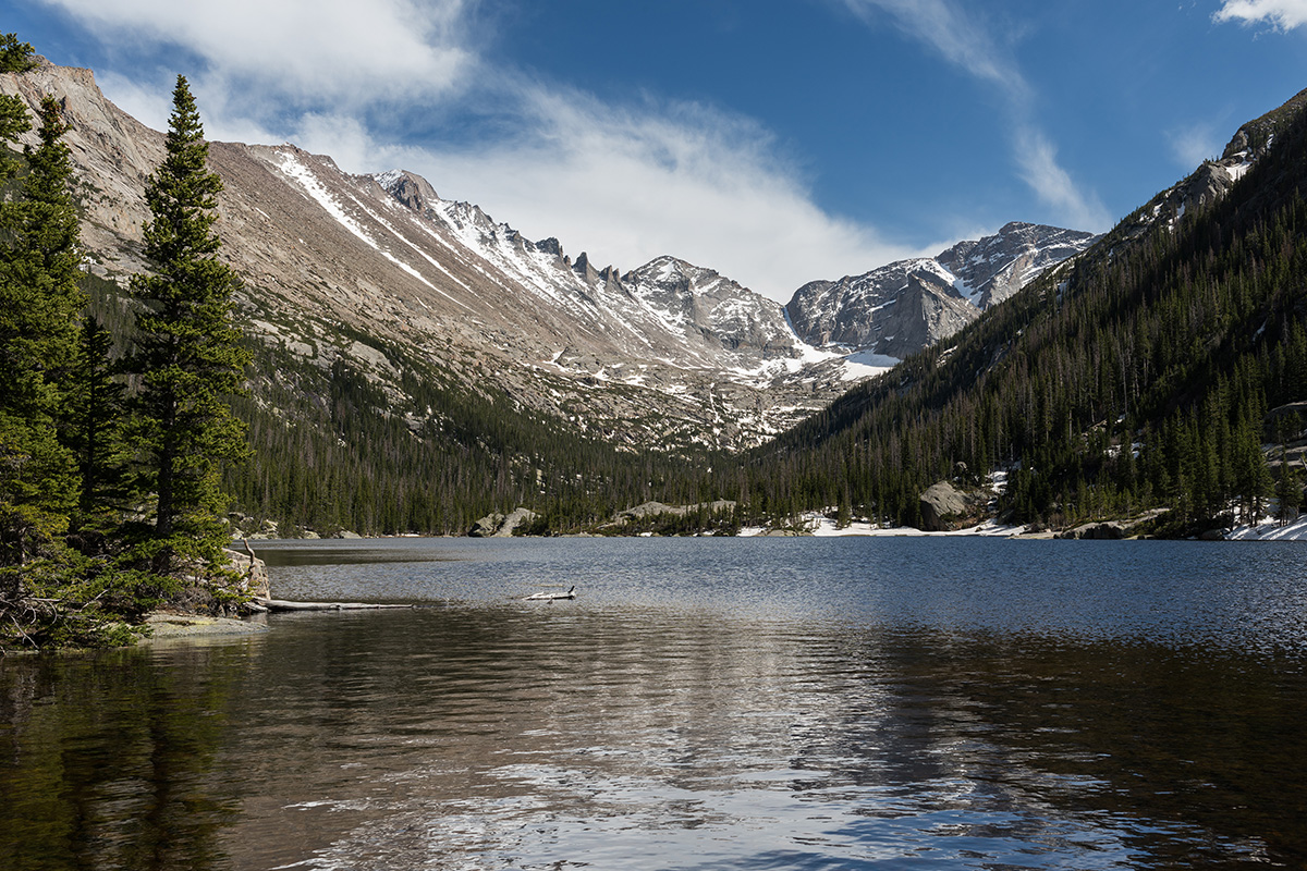
Nestled in the heart of the Rocky Mountain National Park, Mills Lake via the Glacier Gorge trail is nothing short of an alpine wonder. This trail is a fairly moderate trek, so it’s accessible for a range of fitness levels.
But remember, even "moderate" in the Rockies can feel like a workout due to the elevation. You'll start off at about 9,240 feet at the Glacier Gorge trailhead and peak at around 9,940 feet when you reach Mills Lake. That's an elevation gain of about 700 feet - enough to get your blood pumping without being overwhelming.
The picturesque landscape has something for everyone - from the enchanting Alberta Falls to the ethereal beauty of Glacier Gorge, and finally, the grandeur of Mills Lake itself. And let's not forget the awe-inspiring views of Half Mountain and Thatchtop Mountain on the horizon.
The trail can get pretty busy, especially in the summer months. So, if you're after some tranquility, try to start your hike early in the morning.
Psst! For more info on the park's top activities and attractions, take a look at our guide on the best things to do in Rocky Mountain National Park.
Bluffs Regional Park: Bluffs Loop
Length: 2.7 miles, loop.
Elevation Gain: 200 feet.
Difficulty: Easy.
Trail Map: Bluffs Regional Park.
Dog Friendly: Yes, on a leash.
The Bluffs Loop trail is a hidden gem located in the Bluffs Regional Park. While it's extremely close to Denver, the trail is usually pretty quiet and filled with the site of prairies and mountains.
The trail is an easy 2.7-mile loop located near Lone Tree, Colorado, and is perfect if you're looking for a shorter, less strenuous hike but still crave some fantastic views. The trail gradually ascends from about 6,100 to 6,300 feet, offering a nice, gentle elevation gain that's great for getting your heart pumping without feeling like you're scaling Everest.
The Bluffs Loop takes you through grasslands with glimpses of wildflowers and native vegetation. It's the kind of place that makes you appreciate the simpler, quieter side of nature. You'll get a panoramic view of the Denver Tech Center, the Front Range mountains, and on a clear day, even downtown Denver's skyscrapers. Make sure to have your camera ready.
Hikers and mountain bikers love the trail for its accessibility and tranquility. It's an easy escape from city life and a great place for some introspective time. But remember, Colorado's weather can be a bit fickle, so be sure to check the forecast before you head out.
Staunton State Park: Staunton Ranch and Bulging Elk Loop Trail
Length: 10 miles, loop.
Elevation Gain: 1400 feet.
Difficulty: Moderate.
Starting Point: Staunton Ranch.
End Point: Bulging Elk Trail.
Dog Friendly: Yes, on a leash.
The Staunton Ranch and Bugling Elk Loop Trail is nestled in the beautiful Staunton State Park, Colorado, and offers a scenic journey through wildflower meadows, pine forests, and rocky cliffs with truly mesmerizing views.
Don't be deterred by the length, though, because the payoff is worth every step. Starting at an elevation of approximately 8,100 feet, you'll climb up to around 9,500 feet. A bit of a challenge, sure, but you'll be rewarded with breathtaking views of the surrounding landscape.
The Staunton Ranch portion takes you through forests and meadows that feel like something straight out of a fairy tale. And the Bugling Elk portion? A total showstopper, with its stunning views of towering rock formations and open vistas.
If you're hiking in the fall, keep your ears open for the sound of elk bugling – it's a surreal and unique experience. Also, as you navigate through the trail, keep an eye out for mule deer, foxes, and even bobcats that often roam in this beautiful park.
Chautauqua: Boulder Mesa Trail
Length: 13.8 miles, out-and-back.
Elevation Gain: 1400 feet.
Difficulty: Challenging.
Trail Map: Chautauqua - Boulder Mesa Trail.
Dog Friendly: Yes, on a leash.
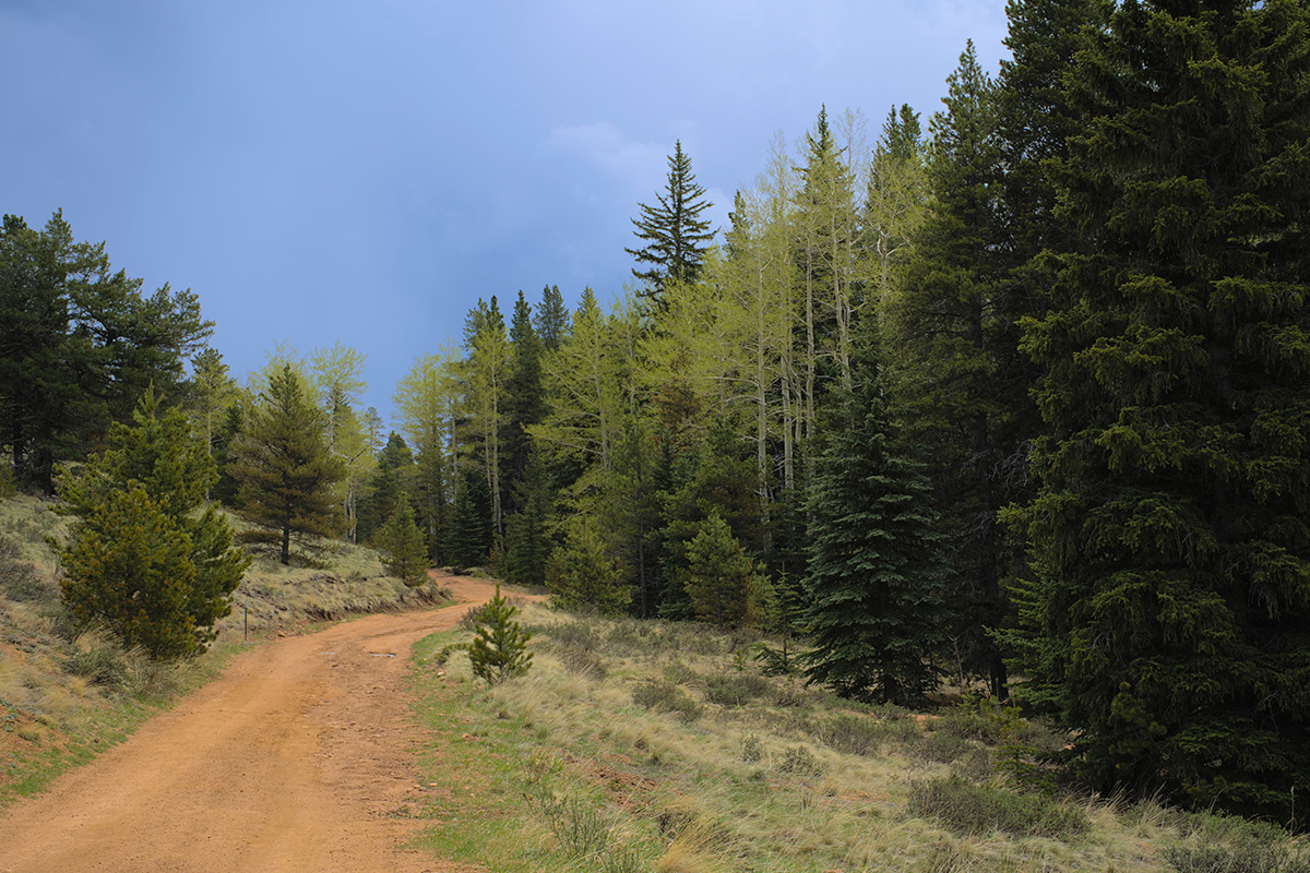
The Mesa Trail, which is consider one of the most ambitious Boulder hikes, truly encompasses the essence of Colorado's front range, offering you a tantalizing mix of undulating meadows, towering pine forests, and scenic mountain views that never cease to amaze.
As you lace up your boots and get ready to hit the trail, you're going to start at an elevation of roughly 5,400 feet and will peak at approximately 6,800 feet. So yes, it's quite the climb, but remember, the higher you go, the better the views!
One of which is the breathtaking Flatirons view - a rocky spectacle that's sure to make you pause for a moment of awe. To some hikers, the alternating landscapes are the Mesa Trail’s main attraction - from the peaceful serenity of Shadow Canyon to the enchanting South Boulder Creek and the panoramic views from Bear Peak.
One piece of advice from the trail veterans: this place can get a bit busy, especially during weekends. If you're looking to enjoy a bit of solitude with your thoughts and nature, aim for an early start or a weekday hike. Depending on the season, the terrain can be slushy, muddy, and icy, so remember to pack spikes.
St. Mary’s Falls
Length: 10 miles, roundtrip.
Elevation Gain: 1300 ft.
Difficulty: Moderate.
Trail Map: St. Mary’s Falls.
Dog Friendly: Yes, on a leash.
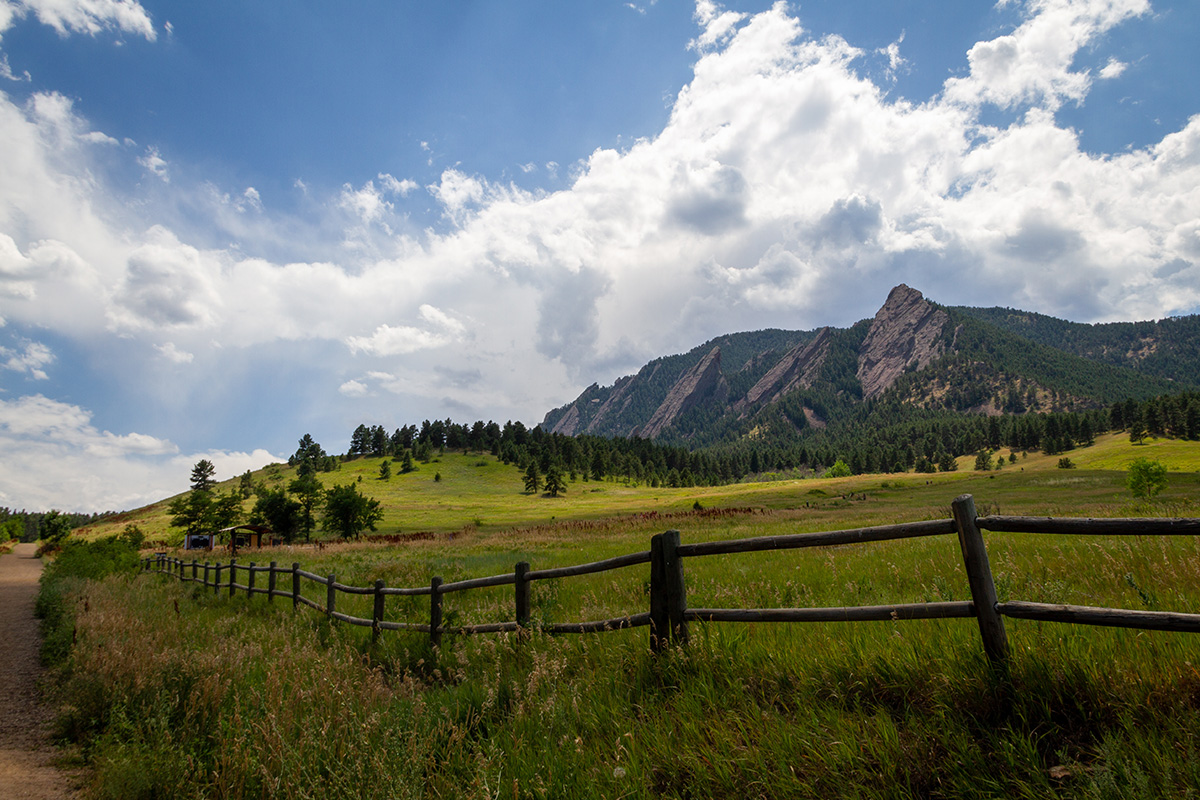
If you're looking for an amazing hike in beautiful Colorado, St. Mary's Falls trail is one you really ought to consider. Situated just a bit outside of Colorado Springs, this trail offers a perfect blend of nature's best features. I'm talking cascading waterfalls, dense pine forests, and breathtaking views that will surely make your heart skip a beat.
The path starts off somewhat ordinary, but as you go further, the trail gets steeper and the scenery unfolds into picturesque views of the surrounding mountains and the glistening stream. And the grand finale? A spectacular waterfall that's enough to refresh any weary traveler.
But, as with all trails, it has its challenges.
The path can be steep in some areas and the rocky terrain can be a bit tricky, especially if it's been raining. So, wearing a good pair of grippy hiking shoes is recommended. The trail can also get pretty busy, especially during weekends and holidays, so if you're looking for some solitude, aim for an early start or try a weekday hike.
Evergreen Mountain Trail
Length: 4.2 miles, loop.
Elevation: 1300 feet.
Difficulty: Moderate.
Starting Point: Alderfer / Three Sisters Park, near Alderfer parking lot.
End Point: Evergreen Mountain.
Dog Friendly: Yes, on a leash.
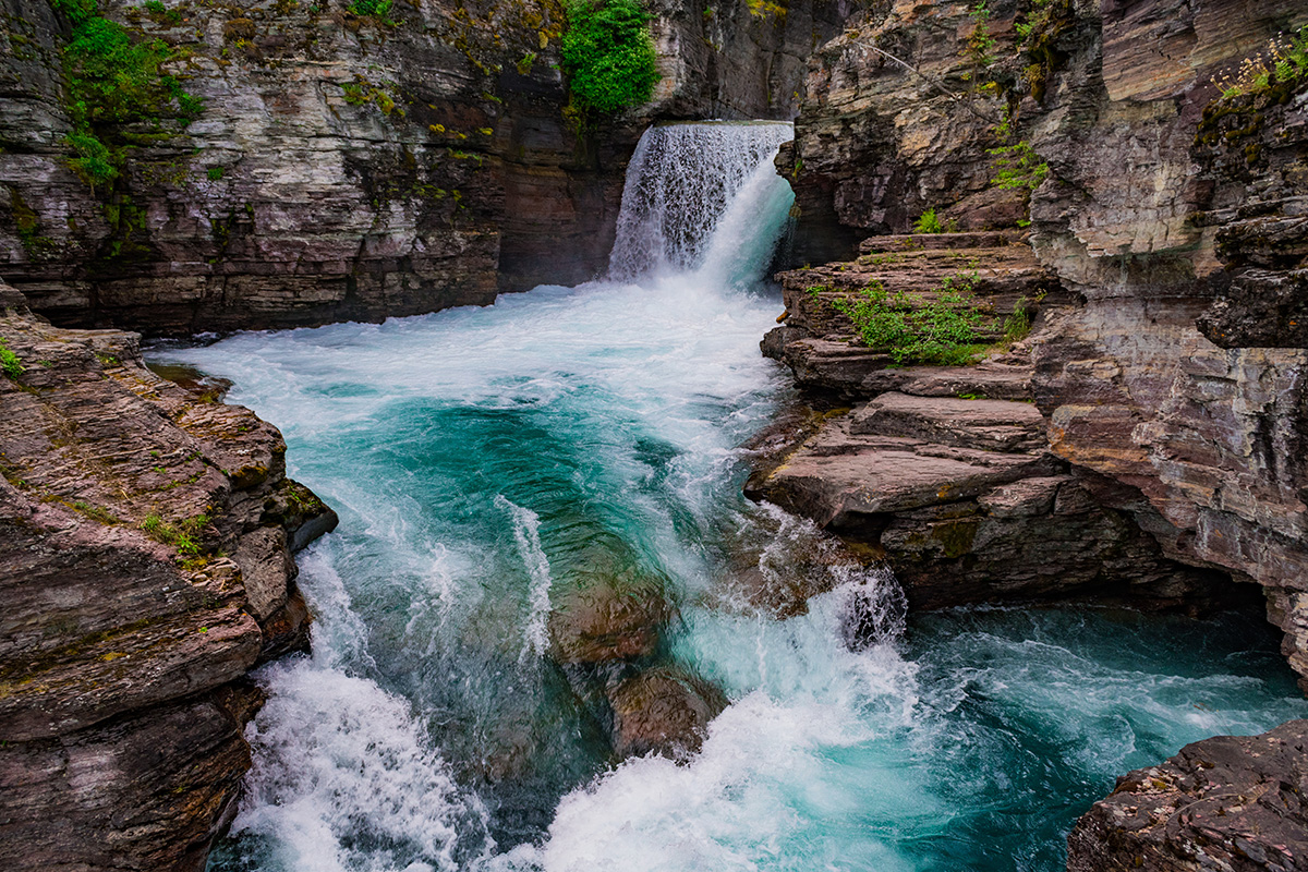
A lesser-known gem in the Colorado hiking scene - the Evergreen Mountain Trail is tucked away in the enchanting Alderfer/Three Sisters Park. The trail offers a chance to escape the crowds while experiencing all the natural beauty that Colorado has to offer.
The Evergreen Mountain Trail is a moderate loop trail, clocking in at around 4.2 miles. This makes it a perfect choice if you're after a solid workout but still want some time left in your day to relax and enjoy the surroundings.
Starting at about 7,200 feet in elevation, you'll hike your way up to around 8,500 feet at the summit of Evergreen Mountain. The climb is steady and manageable, which means you get to enjoy a great cardio session without feeling like you've scaled Mount Whitney.
The trail’s tranquility and the abundance of wildlife sightings - from hummingbirds and hawks to deer and the occasional elk - is what make the hike worthwhile. The view from the top is a real showstopper, with a panoramic vista of the Continental Divide that'll make you glad you made the climb.
The trail has its own challenges - the path can be rocky and uneven in places, so a good pair of hiking shoes is a must. And if you're hitting the trail during snowmelt or after a rainfall, be prepared for some muddy patches.
Waterton Canyon
Length: 24.8 miles, out-and-back.
Elevation: 700 feet.
Difficulty: Moderate.
Trail Map: Waterton Canyon.
Dog Friendly: No.
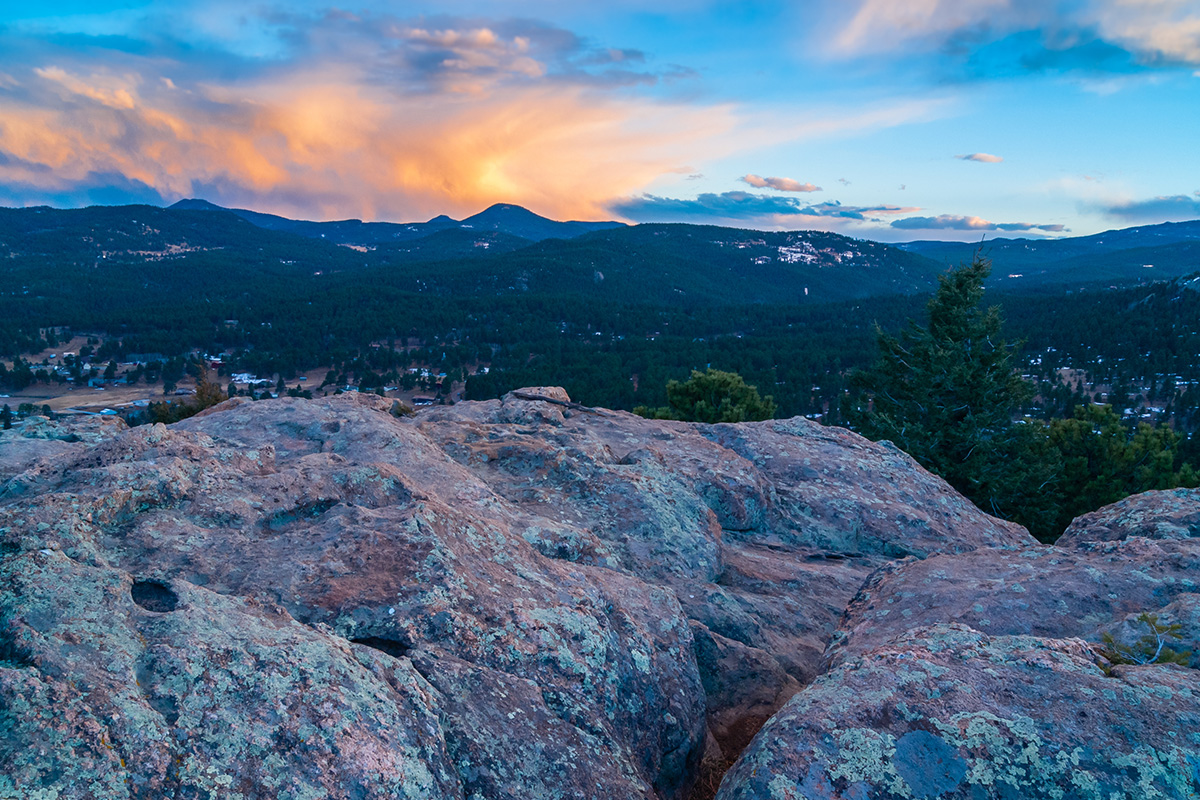
Prepare to be captivated by the splendor of Waterton Canyon, a real gem in Colorado's treasure chest of trails. This one has a little bit of everything, from tranquil riverside walks to wildlife encounters, making it a delightful experience for hikers of all skill levels.
The Waterton Canyon Trail is a well-maintained, out-and-back path stretching approximately 12.4 miles. The trail is relatively flat, with an elevation gain of just about 700 feet. So if you're looking for a scenic trail that won't leave you huffing and puffing, this one's for you!
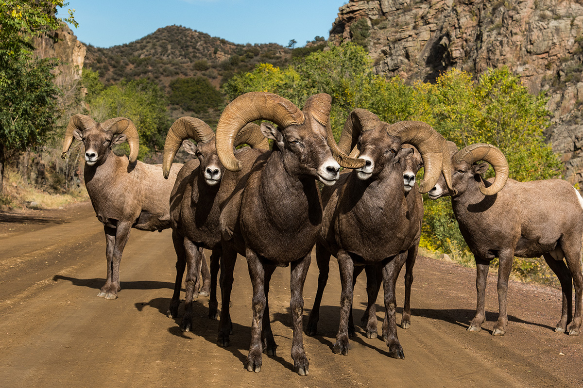
Waterton Canyon is a wildlife lover's dream come true. Bighorn sheep are a common sight, often spotted near the trail, so remember to keep a respectful distance and enjoy the sight. Who knows, you might even spot a bald eagle soaring overhead.
Hiker experiences here are overwhelmingly positive, with many raving about the peaceful riverside hike and the sheer amount of wildlife encountered. Some folks love to bike the trail, while others enjoy fishing in the South Platte River. And the sheer canyon walls on either side? They're a sight that never gets old!
One piece of advice: Colorado can be hot, especially in the summer, and the trail offers little shade. So, make sure to carry ample water, wear sun protection, and perhaps even plan for an early morning start to beat the heat.
Rocky Mountain National Park: Emerald Lake
Length: 3.2 miles, out-and-back.
Elevation: 635 feet.
Difficulty: Moderate.
Trail Map: Emerald Lake.
Dog Friendly: No.
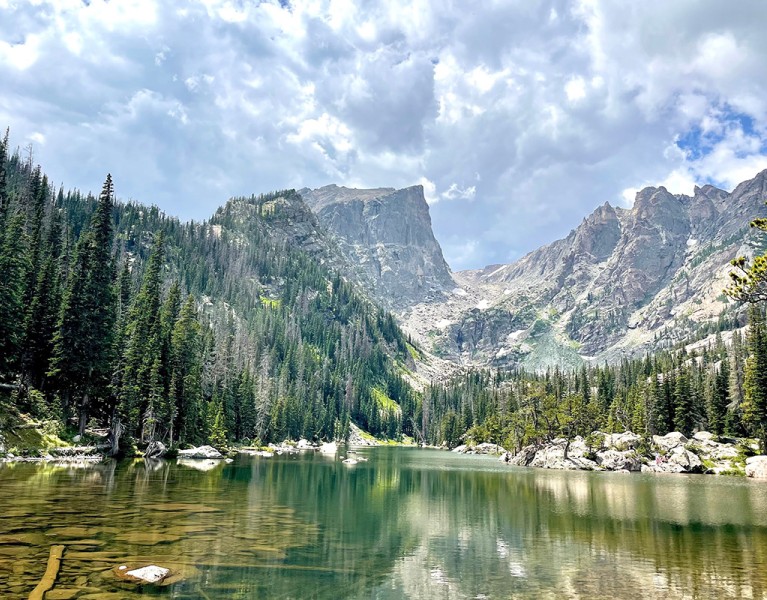
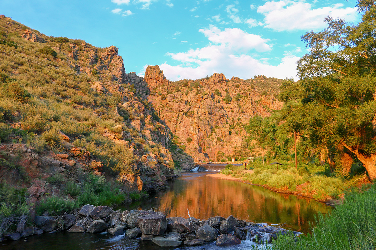
If you're searching for an absolute gem in the heart of Colorado's Rocky Mountain National Park. The trail itself is a manageable 3.2 miles out and back, making it one of the best day hikes near and around Denver. And although it's not exactly a walk in the park (though technically, it is!), it's generally rated as moderate, so it's achievable even if you're not a seasoned mountaineer.
Starting at around 9,475 feet at the Bear Lake trailhead, you're going to climb up to about 10,110 feet by the time you reach the breathtaking Emerald Lake. Remember, you're hiking at a high altitude, so make sure to take it easy, stay hydrated, and enjoy the journey up.
The trail takes you past not one, not two, but three stunningly beautiful alpine lakes: Nymph, Dream, and of course, Emerald Lake. Each of them has its own unique charm, but the finale, Emerald Lake, nestled below the stunning peaks of Flattop Mountain, Hallett Peak, and Tyndall Glacier, is a sight that's hard to beat.
On the way, you'll traverse through magnificent pine and aspen forests – and keep your eyes peeled for wildlife! You might just spot moose, elk, and a variety of bird species. Oh, and let's not forget the marmots, which seem to love posing for photos!
Mount Falcon Castle Trail
Length: 6.9 miles, out-and-back.
Elevation: 1400 feet.
Difficulty: Moderate to Challenging.
Trail Map: Mount Falcon Castle Trail.
Dog Friendly: Yes, on a leash.
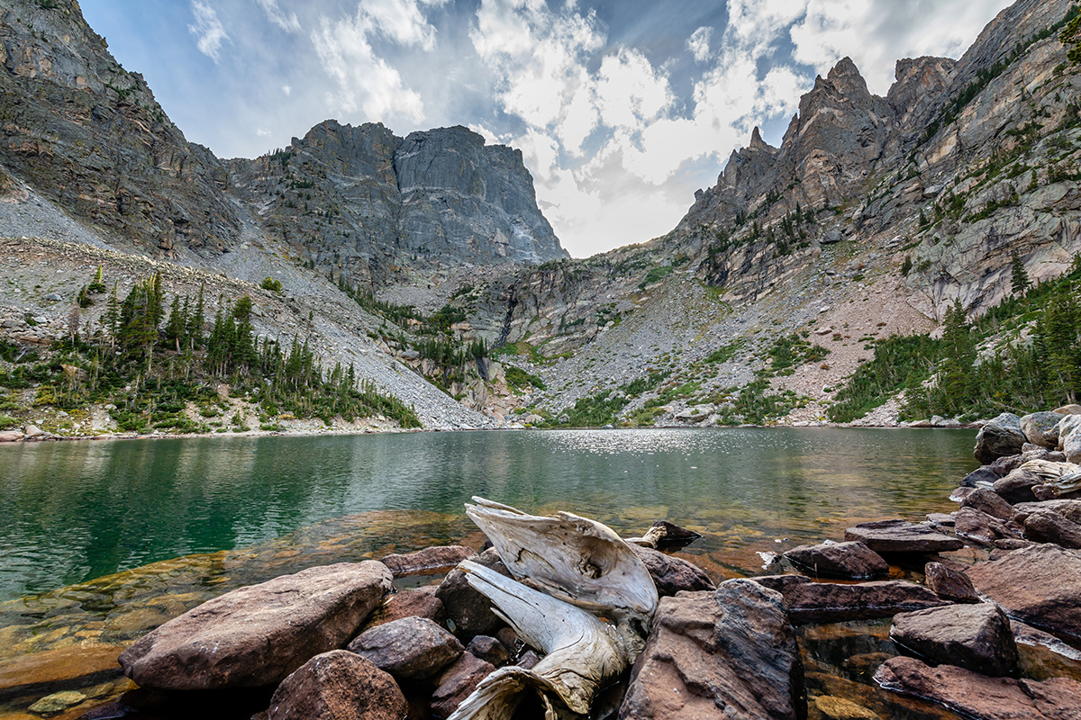
Nestled in the expansive Mount Falcon Park, the Mount Falcon Castle trail offers a superb mix of natural beauty and historical intrigue. I'm telling you, it's the kind of place that makes you feel part of an epic outdoor adventure.
You'll be starting at approximately 6,200 feet, reaching a max elevation of about 7,600 feet. So while it's not exactly a 'climb to the clouds' scenario, there's still plenty of room to get your heart pumping and your lungs working. It's pretty doable, even if you're not a seasoned hiker.
Folks who have taken this journey often talk about two main things: the diverse landscape and the remnants of John Brisben Walker's castle. The trail is a delightful palette of pine woodlands, open grassy areas, and wildflower-dotted slopes. And trust me, you'll want to pause at the castle ruins. While time has left only stone walls standing, the place has a certain 'lost in time' allure that makes you ponder the stories these stones could tell.
The trail can get quite busy, especially on weekends. So, if solitude is what you're seeking, aim for an early morning start or hike it on a weekday.
Stone Lake
Length: 9.5 miles, out-and-back.
Elevation: 1300 feet.
Difficulty: Moderate.
Starting Point: Arapaho Bay Roaring Club.
End Point: Stone Lake.
Dog Friendly: Yes, on a leash.
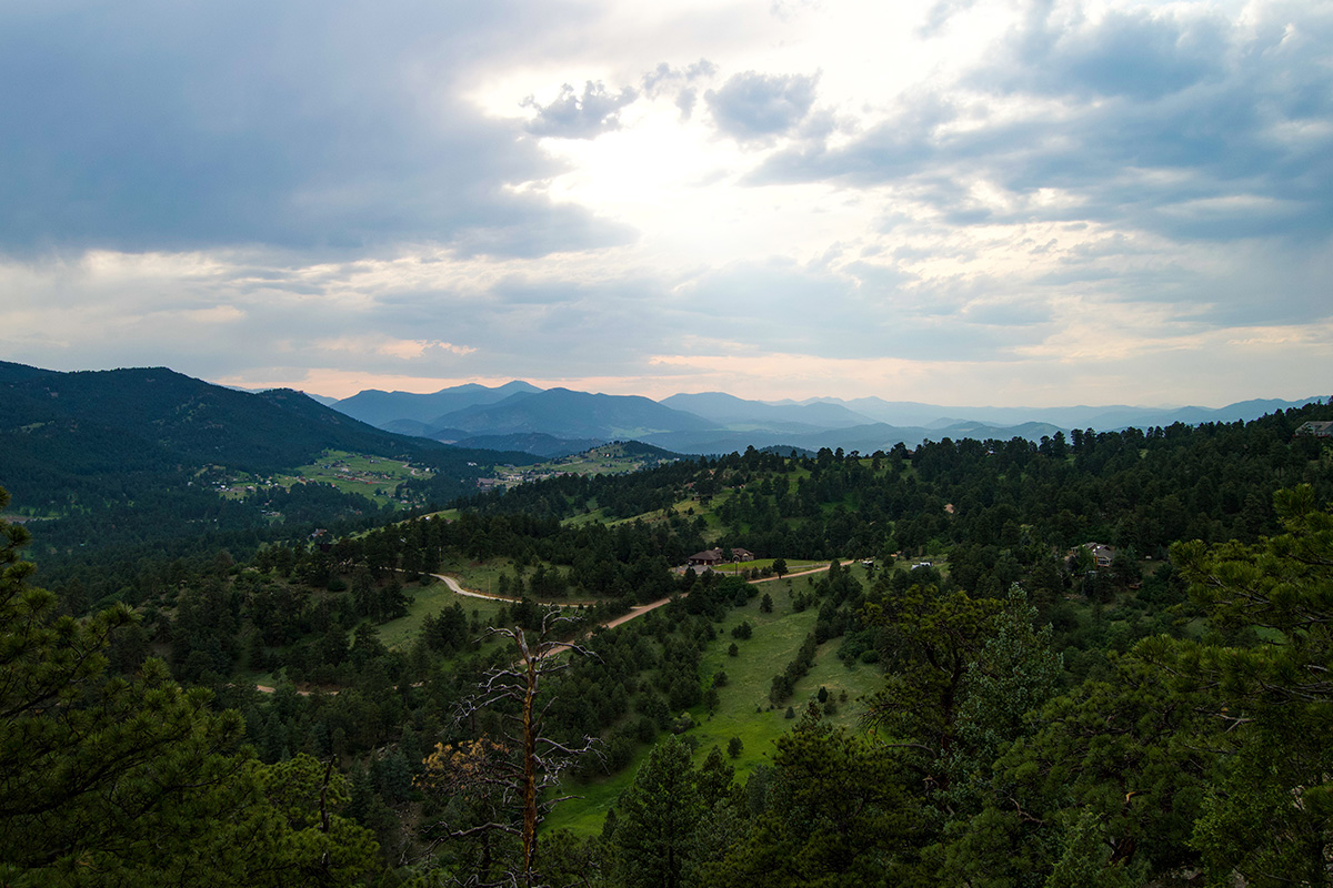
If you're seeking an unforgettable alpine adventure in Colorado, let me introduce you to the Stone Lake hiking trail. Tucked away in the vast Rawah Wilderness, this trail is an out-and-back trail stretching approximately 9.5 miles, and I promise, each mile is more scenic than the last.
The trail begins at an elevation of about 8,400 feet and steadily climbs to a whopping 11,000 feet at Stone Lake itself. So, brace yourself for that high-altitude atmosphere and those soul-stirring views. It's quite the climb, but remember, it's about the journey as much as the destination.
Hikers love Stone Lake trail for its untouched wilderness. The landscape varies from dense, lush forests to high mountain meadows bursting with wildflowers, depending on the season. And then, of course, there's Stone Lake - a serene, crystal-clear body of water nestled amongst towering peaks. The sight of that alone makes the hike worth it.
The trail can be a bit hard to follow in places due to the wilderness setting, so having a map or GPS can be quite handy.
South Platte River Trail
Length: 17.6 miles, out-and-back.
Elevation: 200 feet.
Difficulty: Challenging.
Trail Map: South Platte River Trail.
Dog Friendly: Yes, on a leash.
The South Platte River Trail via Blackrock Lake is situated near Lakewood and serves up a lovely slice of Colorado’s outdoor appeal. This relatively flat trail has an elevation gain of approximately 200 feet, making it a nice, manageable hike for folks of all fitness levels.
The word on the hiking trails is that this is an absolute haven for birdwatchers and wildlife enthusiasts. The trail, snaking along the South Platte River, offers splendid views of a diverse range of waterfowl and other bird species. Plus, the serene Blackrock Lake is a sight for sore eyes.
For the more activity-inclined, the trail is popular for biking and running too. It's well-maintained and mostly paved, making it an excellent choice for a smooth bike ride or run. Keep in mind this trail tends to be quite popular, especially during the warmer months, so it can get busy at times. But hey, it's a great place to meet other outdoor enthusiasts like yourself.
In a nutshell, whether you're after a pleasant stroll, a peaceful birdwatching spot, or a smooth trail to ride your bike, the South Platte River Trail has got you covered. Don't forget your water, a snack, and maybe some binoculars for that birdwatching!
Breckenridge: Mohawk Lakes
Length: 13.6 miles, loop.
Elevation: 3600 feet.
Difficulty: Challenging.
Starting Point: Spruce Creek Trail.
End Point A: Crystal Peak.
End Point B: Pacific Peak.
Dog Friendly: Yes, on a leash.
The Mohawk Lake to Pacific Peak and Crystal Peak trail is one heck of a trek. Nested in the Tenmile Range near Breckenridge, Colorado, it's a veritable paradise for those seeking an exhilarating challenge amidst Colorado's grandeur.
Let's start with the basics. This trail is a strenuous one, covering a substantial 13.6 miles round-trip. You'll need to bring your 'A' game, but I promise, it's worth every bead of sweat. You start off at a respectable 10,390 feet near Spruce Creek Road. But get this, you'll ascend to a whopping 13,852 feet at Pacific Peak and then 13,852 feet at Crystal Peak! That's right, this isn't just a hike; it's an adventure that takes you above the clouds.
The experience is nothing short of spectacular. Hikers frequently marvel at the stunning alpine lakes (Mohawk Lakes are a sight to behold), the wildflower-filled meadows, and the absolutely jaw-dropping 360° views from the summits of both Pacific and Crystal Peaks.
But listen, the weather can be a bit of a trickster up there. Always keep an eye on the forecast, especially during summer afternoons when thunderstorms love to pop up. Also, the trail can be hard to follow at times, especially as you approach the peaks, so a GPS or a good trail map is a wise addition to your pack.
Eagle’s View Trail Loop
Length: 4.2 miles, loop.
Elevation: 1100 feet.
Difficulty: Moderate.
Starting Point: Reynolds Park Trailhead.
End Point: Eagle’s View.
Dog Friendly: Yes, on a leash.
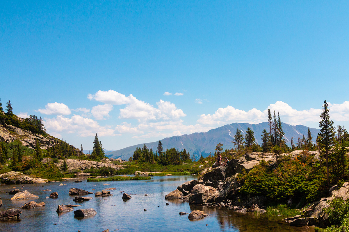
Nestled within the Reynolds Park area, Eagle's View Trail Loop offers an enchanting journey through a variety of terrains with a final reward that's nothing short of breathtaking.
The trail stretches around 4.2 miles. It's not the longest trail out there, but don't be fooled. This loop boasts a pretty decent elevation gain of about 1,100 feet, so you'll definitely feel the burn! But hey, what's a good hike without a little challenge, right?
What makes the Eagle’s View Trail Loop really stand out is the 'eagle's view' that gives this trail its name. Hikers often wax lyrical about the moment they reach the lookout point. The sweeping view of the surrounding valleys and distant Denver skyline is simply spectacular. There's nothing quite like the feeling of standing high above the world, taking in the beauty of nature.
The trail offers more than just stunning views, though. As you navigate through meadows, pine forests, and rocky outcrops, keep an eye out for local wildlife. From squirrels to deer, you never know what you might spot.
One piece of advice: be prepared for a relatively steep climb near the end of the loop to reach the viewpoint. But remember, the best views come after the hardest climbs. And this one? Totally worth it.
Mount Elbert
Length: 9.8 miles, out-and-back.
Elevation: 4500 feet.
Difficulty: Challenging.
Trail Map: Mount Elbert.
Dog Friendly: Yes, on a leash.
If you've got your sights set on conquering Colorado's highest peak, then the Mount Elbert Trail is your road to glory. Standing tall at a whopping 14,439 feet, Mount Elbert is not just Colorado's highest summit but the second-highest in the lower 48 states. Yeah, no big deal, right?
The standard Northeast Ridge route is about a 10-mile round-trip trail with an elevation gain of approximately 4,500 feet. But don't let those numbers intimidate you. The path is well-marked and doesn't involve any technical climbing.
The ascent to the top may be challenging (we're talking thin air and steep inclines here), but boy, are the views worth it! On a clear day, the panorama from the summit is nothing short of awe-inspiring, with the Rocky Mountains stretching out as far as your eyes can see.
The experiences shared by hikers are a mixed bag of admiration, accomplishment, and a dash of "whew, that was tough!" Most of them talk about the stunning views, the sense of achievement at the summit, and the chance encounters with friendly marmots or mountain goats.
But remember, the weather on 14ers can be unpredictable. Start early to avoid afternoon thunderstorms, and always pack plenty of water and high-energy snacks.
Preparing the right gear
Let's dive into the essentials for your Denver, Colorado, hiking adventures. These trails can be as unpredictable as they are beautiful, so having the right gear and clothing can make all the difference between a memorable hike and, well, the other kind.
Footwear
You're going to need a good pair of hiking boots that provide ankle support and have a grippy sole, especially if you're tackling trails like St. Mary's Falls or Boulder's Mesa Trail. Remember, these trails can be rocky and steep, and the last thing you want is a twisted ankle.
Clothing
Colorado's weather can be a tricky beast. It can be sunny one moment and hail the next. Layering is your best friend here. Start with a moisture-wicking base layer to keep sweat at bay, add an insulating middle layer for warmth, and top it off with a waterproof and wind-resistant outer layer.
Don't forget a hat and sunglasses for sun protection, and gloves if you're venturing at higher elevations where it can get chilly. Speaking of chilly, always pack extra warm clothing. The temperature drops significantly with altitude, and even in the summer, the peaks can be downright frosty. KÜHL clothing’s got you covered: from men’s outdoor wear to women’s hiking clothing.
Gear
A sturdy, comfortable backpack is a must. It should have enough room to carry water, food, clothing layers, and other hiking essentials without feeling like you're hauling a boulder. Hydration is key on these trails, especially at high elevations, so bring a water bottle or a hydration bladder.
A detailed map and compass (or a reliable GPS) can be lifesavers, especially on the longer, more isolated trails. And don't forget to tick boxes off of the first aid checklist for those unforeseen scratches and blisters.
When it comes to hiking food, pack high-energy snacks like trail mix, energy bars, and fruit. Trust me, nothing beats munchies while soaking up those epic views.
Last but not least, don't forget the 10 Essentials. This list, based on the one established by The Mountaineers, includes things like a headlamp or flashlight, a firestarter, and a multi-tool or knife.
Remember, the most important thing you can bring along on any hike is a sense of respect - for the trail, for nature, and for your fellow hikers. Stick to the trail, carry out what you carry in, and leave no trace.
Final Thoughts
Well, my fellow hikers, we've journeyed together through the lush meadows of the Boulder Mesa Trail, the thrilling heights of Mount Elbert, and the cascading beauty of St. Mary's Falls. These trails, each with its unique charm and challenges, are a testament to the diverse and stunning beauty Colorado has to offer.
Whether you're a seasoned hiker or a budding enthusiast, there's something here for everyone. Remember, it's not just about the destination, but the journey, the camaraderie with fellow hikers, the shared smiles with your leashed four-legged friends, and the personal victories.
So, lace up those hiking boots, grab your water bottle, and set off to create your own experiences on these magnificent trails. Colorado is waiting to tell you its stories, and I can't wait for you to hear them!
Featured Image by Lauren.
FAQs
Does Denver have good hiking trails?
One of my best hikes was in Denver. With the Rocky Mountains at your doorstep, you've got trails for all levels, from the scenic Mount Falcon Trail to the challenging trek up Mount Bierstadt. Don't forget city escapes like Red Rocks Park.
What is the easiest mountain to climb near Denver?
Mount Bierstadt is considered one of the easiest "fourteeners" to climb near Denver, Colorado. The trail is 7 miles long, well-marked, and doesn't require technical climbing skills, making it an excellent choice for beginners seeking a high-altitude adventure.
What is the best month to hike in Denver?
The best time to go on Denver hikes is between June and September. The weather during these months is warm and welcoming, offering clear trails and splendid views. However, always check local conditions before heading out.
What mountain town is closest to Denver?
Idaho Springs is the closest mountain town to Denver, Colorado. It's only about a 30-minute drive west on I-70, making it a convenient getaway for Denver residents seeking alpine scenery, hiking, and a dose of Gold Rush history.
Do you need a license to go hiking in Colorado?
No, you generally do not need a license to go hiking in Colorado. However, some state and national parks may require an entrance fee or a day-use pass, so always check specific park.


